Information
Landmark: L'Île d'OrléansCity: Quebec City
Country: Canada
Continent: North America
L'Île d'Orléans, Quebec City, Canada, North America
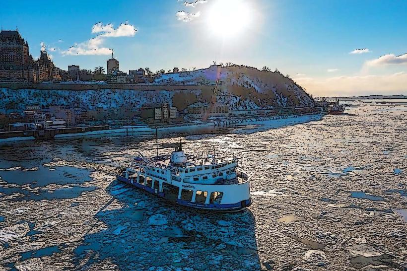
L'Île d'Orléans is an island located in the Saint Lawrence River, directly northeast of Quebec City, Canada.
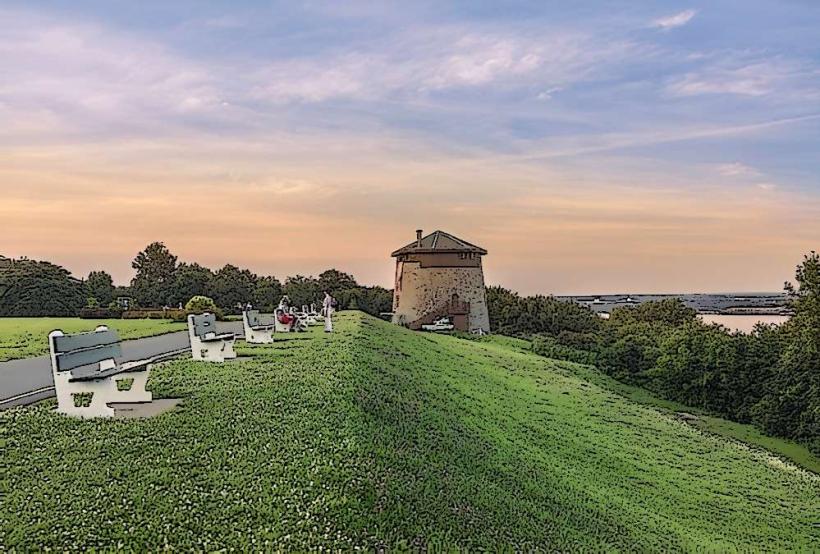
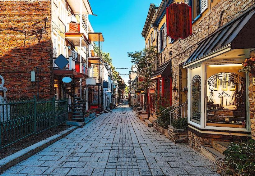
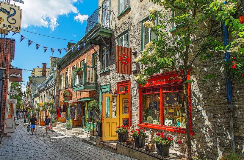
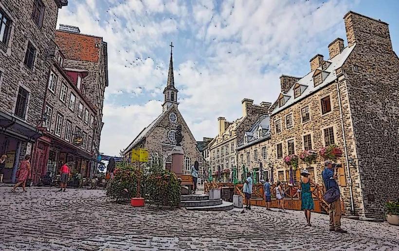
It is a large island characterized by its agricultural landscape, historic villages, and distinct architectural heritage.
Visual Characteristics
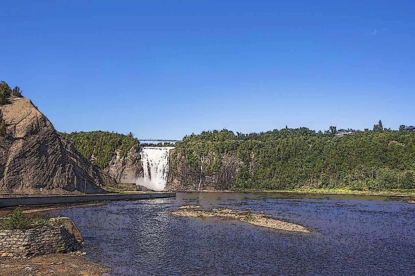
The island's terrain is generally flat to gently rolling, with fertile plains dedicated to agriculture. The coastline varies, featuring rocky outcrops and sandy shores. Numerous historic homes and farm buildings constructed from local stone and wood are visible throughout the island. The dominant colors are the green of cultivated fields and forests, the blue of the Saint Lawrence River, and the white of the buildings, often topped with grey or dark metal roofs.
Location & Access Logistics
L'Île d'Orléans is accessible via Quebec Route 358, which crosses the island from north to south. The island is connected to the mainland by the Pont de l'Île d'Orléans, located approximately 10km northeast of Quebec City's Old Town. Parking is available in designated areas within the villages and at various points of interest. Public transport directly onto the island is limited; regional bus lines serve the mainland approach, requiring a transfer or private vehicle for full island exploration.
Historical & Ecological Origin
The island's geological origin is linked to glacial activity and the subsequent formation of the Saint Lawrence River valley. Historically, it was settled by French colonists in the 17th century, becoming a significant agricultural center for Quebec City. Its original purpose was to provide food and resources to the growing colonial population. Many buildings date back to the 18th and 19th centuries, preserving traditional Quebec architecture.
Key Highlights & Activities
Activities include visiting the historic villages of Sainte-Pétronille, Saint-Laurent, Saint-Jean, and Sainte-Famille. Sampling local produce, such as apples, berries, and cider, is a primary activity. Wine tasting at local vineyards is available. Hiking and cycling routes follow the island's perimeter and interior roads. Boat tours around the island offer views of the coastline and Quebec City skyline.
Infrastructure & Amenities
Restrooms are available in village centers and at tourist information points. Shade is provided by trees along roadsides and in village parks. Cell phone signal (4G/5G) is generally consistent across the island. Food vendors, including restaurants and small grocery stores, are located in the main villages.
Best Time to Visit
The best time for visiting is from late spring to early autumn (May to October). For photography, early morning and late afternoon light offers optimal illumination of the landscape and architecture. The fall harvest season (September-October) provides distinct visual appeal with changing foliage and agricultural activities. High tide is not a significant factor for island access.
Facts & Legends
A local legend speaks of the "Chasse-Galerie," a mythical flying canoe said to transport sorcerers and gamblers across the Saint Lawrence River on stormy nights, often originating from or passing over L'Île d'Orléans. A verified historical oddity is the island's designation as a protected heritage site, preserving its rural character and architectural integrity against modern development.
Nearby Landmarks
- 0.5km North: Pont de l'Île d'Orléans
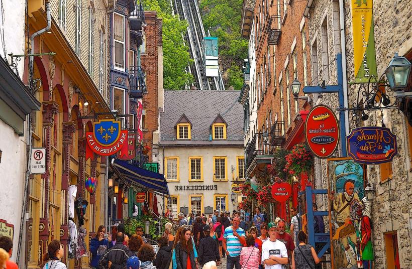
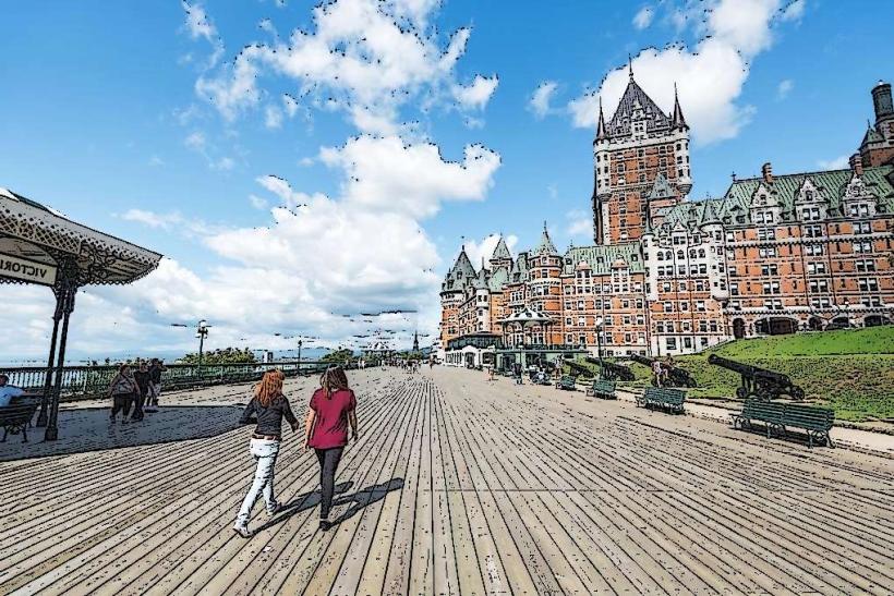
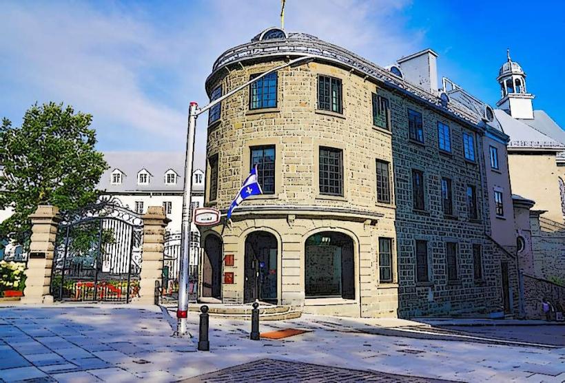
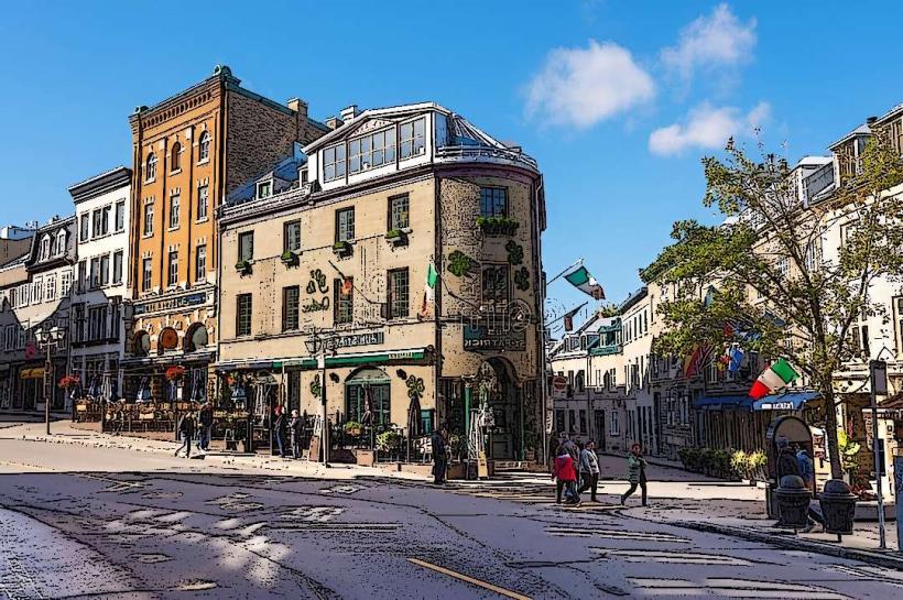
- 10km Southwest: Old Quebec (Vieux-Québec)
- 12km Southwest: Plains of Abraham
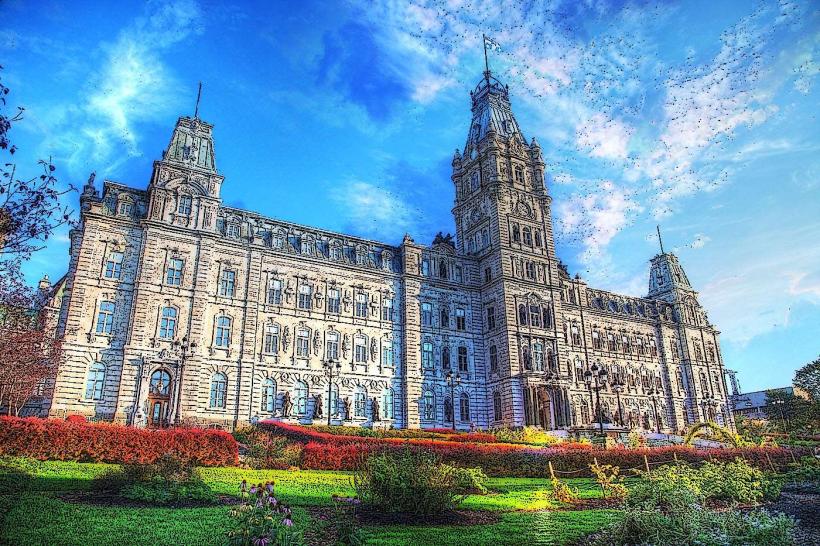
- 15km Southwest: Parliament Building (Quebec City)
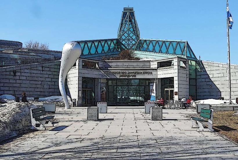
- 20km Southwest: Musée national des beaux-arts du Québec