Information
Landmark: Montmorency FallsCity: Quebec City
Country: Canada
Continent: North America
Montmorency Falls, Quebec City, Canada, North America
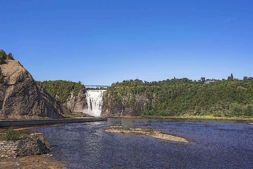
Montmorency Falls is a large waterfall located on the Montmorency River in Quebec City, Canada. It is situated approximately 13 kilometers east of the city center.
Visual Characteristics
The waterfall has a vertical drop of 83 meters (272 feet), exceeding the height of Niagara Falls by 30 meters. The water plunges over a cliff face composed of sedimentary rock. The falls are widest in spring due to snowmelt, with a width of approximately 60 meters. In winter, the spray can freeze, forming a large ice cone known as the "ice cone" or "sugar loaf."
Location & Access Logistics
Access to Montmorency Falls is via Autoroute 440 East, exiting onto Boulevard Sainte-Anne. The falls are located directly off Boulevard Sainte-Anne. Parking is available at the base of the falls, with designated areas for cars and buses. Public transport options include the RTC bus line 50, which stops at the falls. A cable car (téléphérique) operates from the base to the top of the falls.
Historical & Ecological Origin
The falls were formed by glacial erosion during the last ice age. The Montmorency River flows through a valley carved by glaciers. The site has been a point of interest since the 17th century. In 1759, during the Battle of the Plains of Abraham, British troops attempted to ascend the cliff face near the falls.
Key Highlights & Activities
Visitors can ascend to the top of the falls via the cable car or by climbing the 300-step staircase alongside the waterfall. A suspension bridge spans the river at the top, offering views of the falls and the St. Lawrence River. Hiking trails are available in the surrounding park. In winter, ice climbing is a permitted activity. A zipline operates seasonally from the top of the falls to the base.
Infrastructure & Amenities
Restrooms are available at the base and at the top of the falls. Shade is provided by trees in the park areas. Cell phone signal (4G/5G) is generally available. Food vendors and a restaurant are located at the top of the falls.
Best Time to Visit
For photography, early morning or late afternoon light provides optimal illumination. The best months for visiting are from May to October when the weather is mild and all attractions are operational. For viewing the ice cone, visit during winter months (December to March), with specific conditions required for its formation. High water flow is typical in spring.
Facts & Legends
A local legend suggests that the falls were named by Samuel de Champlain in honor of Henri II, Duke of Montmorency, though historical records indicate Champlain named the river in 1608. The park surrounding the falls is part of the Parc de la Chute-Montmorency.
Nearby Landmarks
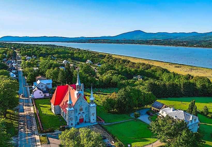
- Île d'Orléans (2km East)
- Parc de la Chute-Montmorency (0km - the falls are within this park)
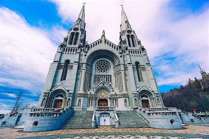
- Basilica of Sainte-Anne-de-Beaupré (15km East)
- Canyon Sainte-Anne (20km East)
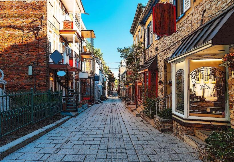
- Old Quebec (13km West)