Information
Landmark: Los HerviderosCity: Lanzarote
Country: Canary Islands
Continent: Europe
Los Hervideros, Lanzarote, Canary Islands, Europe
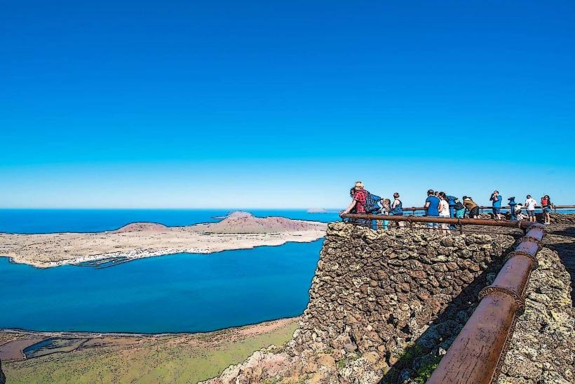
Los Hervideros is a series of volcanic sea caves and blowholes formed by solidified lava flows meeting the Atlantic Ocean. It is located on the southwest coast of Lanzarote, within the Timanfaya National Park area.
Visual Characteristics
The coastline consists of jagged, dark basaltic rock formations, characterized by cliffs, arches, and interconnected sea caves. The rock exhibits shades of black, dark grey, and occasional reddish-brown, contrasting with the white foam of the Atlantic Ocean. The formations are a result of rapid cooling of molten lava upon contact with seawater, creating a rugged and porous structure.
Location & Access Logistics
Los Hervideros is accessible via the LZ-703 road, which branches off the LZ-2. It is approximately 5km south of the village of Yaiza and 2km south of El Golfo. A designated parking area is available directly at the site. Public transport options are limited; car rental is the recommended method of access as no direct bus lines serve the location.
Historical & Ecological Origin
The geological formations of Los Hervideros originated during the volcanic eruptions of Timanfaya between 1730 and 1736. Molten lava flowed from the volcanoes directly into the Atlantic Ocean, solidifying rapidly upon contact with the cold water. Subsequent erosion by the powerful ocean waves carved out the intricate network of caves, arches, and blowholes visible today.
Key Highlights & Activities
Visitors can walk along designated paths and viewing platforms carved into the volcanic rock. The primary activity is observing the powerful Atlantic waves as they surge into the sea caves and erupt through blowholes, creating a "boiling" effect. Photography of the geological formations and the dynamic interaction between land and sea is a common activity.
Infrastructure & Amenities
There are no dedicated restrooms or food vendors directly at the site. Natural shade is minimal. Cell phone signal (4G/5G) is generally available in the area. The nearest services, including restaurants and facilities, are located in the nearby villages of El Golfo and Yaiza.
Best Time to Visit
The site is best experienced at high tide when the waves are most dramatic and the water surges forcefully into the caves and blowholes. Mid-morning or late afternoon typically offer optimal lighting for photography and can have fewer crowds. While accessible year-round, the autumn and winter months (October-March) often bring stronger ocean swells, enhancing the spectacle.
Facts & Legends
The name "Los Hervideros" translates from Spanish to "The Boiling Pots," a direct reference to the turbulent appearance of the water as it crashes and churns within the volcanic cavities. A practical tip for visitors is to wear sturdy, closed-toe shoes, as the walking paths are uneven and composed of volcanic rock.
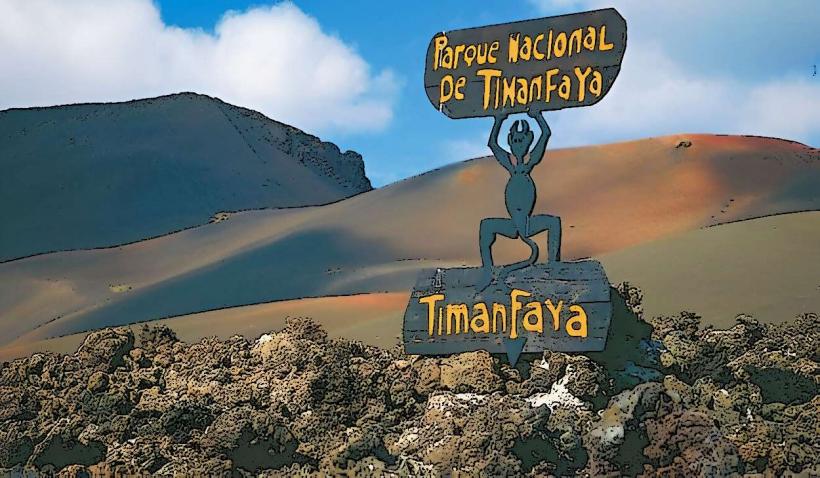
Nearby Landmarks
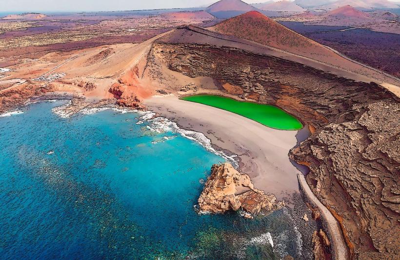
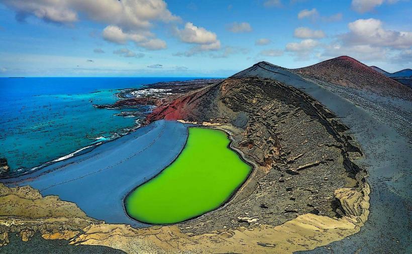
- El Golfo (Charco de los Clicos): 2km North
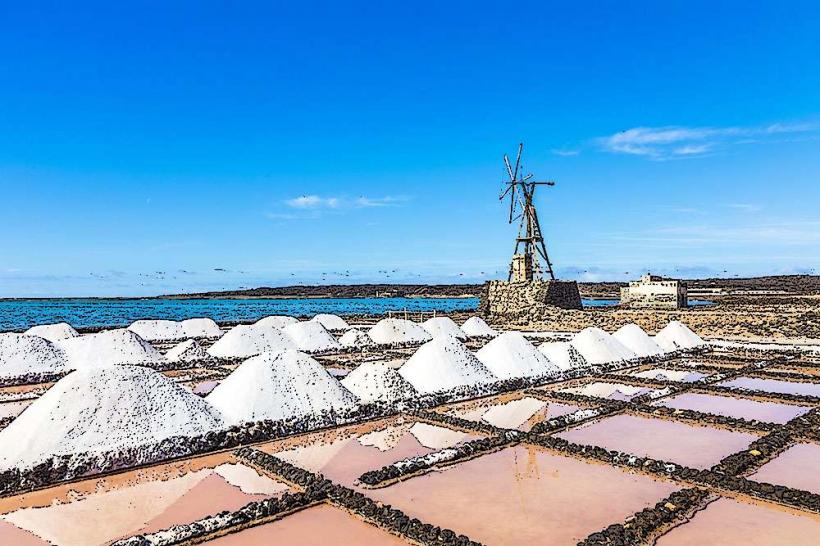
- Salinas de Janubio: 3km South
- Playa de Janubio: 3.5km South
- Yaiza (town): 5km Northeast