Information
Landmark: Playa de FamaraCity: Lanzarote
Country: Canary Islands
Continent: Europe
Playa de Famara, Lanzarote, Canary Islands, Europe
Playa de Famara is an extensive sandy beach located on the northwest coast of Lanzarote, Canary Islands. It is primarily known for its significant length and consistent conditions suitable for watersports.
Visual Characteristics
The beach features golden-white sand, often sculpted by wind. The water is a deep Atlantic blue, frequently exhibiting significant wave activity. The beach is backed by the imposing Risco de Famara cliffs, which are composed of dark volcanic rock and rise dramatically from the coastline. Vegetation is sparse, consisting mainly of low-lying, salt-tolerant shrubs. The beach stretches for approximately 6 kilometers.
Location & Access Logistics
Playa de Famara is situated on the northwest coast of Lanzarote. Access is primarily via the LZ-402 road, leading directly from the village of Caleta de Famara. It is located approximately 25 kilometers northwest of Arrecife, the island's capital. Parking is available in unpaved areas near the village and along the access road. Public transport is limited; bus line 20 connects Arrecife with Caleta de Famara, but services are infrequent. A rental vehicle is recommended for convenient access.
Historical & Ecological Origin
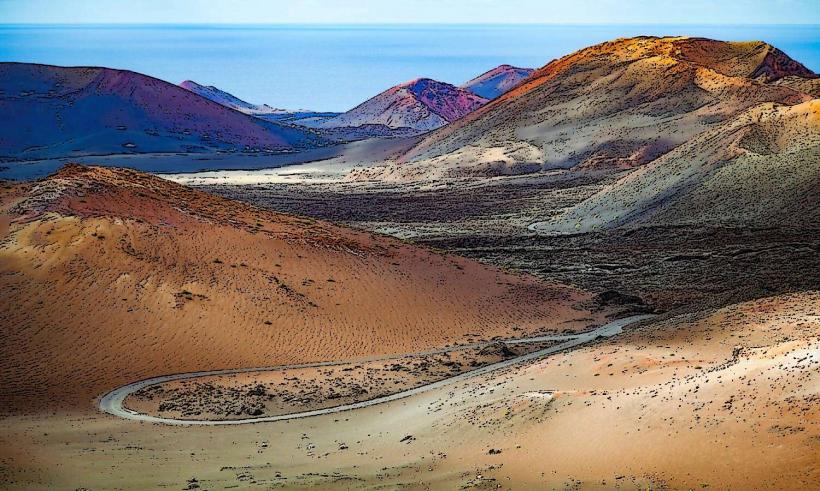
Playa de Famara is a natural beach formed by the ongoing erosion of the ancient volcanic Famara Massif and the subsequent deposition of marine sediments. The Risco de Famara cliffs represent some of the oldest geological formations on Lanzarote, dating back millions of years. The area is characterized by strong Atlantic winds and currents, which continuously shape its dynamic coastal environment and dune systems.
Key Highlights & Activities
Surfing and kitesurfing are the predominant activities, with multiple surf schools operating in the vicinity. The extensive shoreline is suitable for long walks. Photography, particularly of the cliffs and sunsets, is a popular pursuit. Swimming is possible but requires caution due to strong currents and waves, especially during high tide or windy conditions.
Infrastructure & Amenities
Infrastructure at the beach itself is basic. There are no permanent public restrooms directly on the sand, but facilities are available within the nearby village of Caleta de Famara. Natural shade is minimal. Cell phone signal (4G/5G) is generally available across the beach area. Several restaurants, cafes, and small shops offering food and drinks are located in Caleta de Famara.
Best Time to Visit
For surfing, the autumn and winter months (October to March) typically offer the most consistent wave conditions. For general beach activities and photography, early morning or late afternoon provides optimal lighting for the cliffs and softer light overall. Low tide exposes a wider expanse of sand, while high tide reduces the available beach area. Wind conditions can be significant year-round.
Facts & Legends
The Risco de Famara cliffs are a significant ecological site, hosting several endemic plant species adapted to the arid, windy coastal environment. A local tip for visitors is to always consult local surf forecasts and observe any flag warnings before entering the water, due to the powerful currents that can be present.
Nearby Landmarks
- Caleta de Famara village: 0.5km South
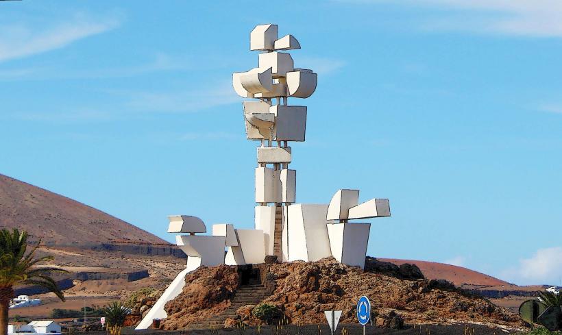
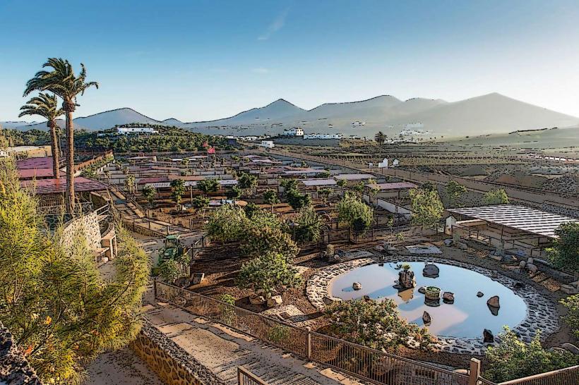
- Museo Agrícola El Patio: 10km Southeast
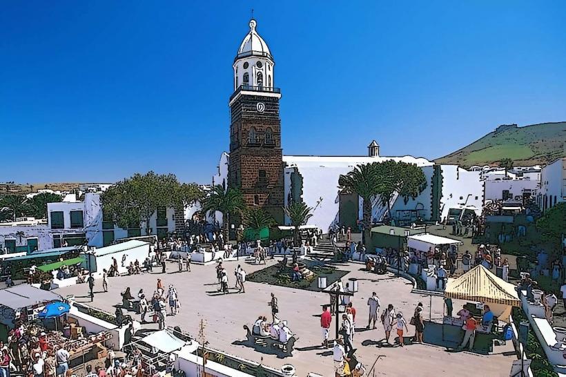
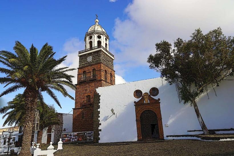
- Teguise (historic town): 12km Southeast
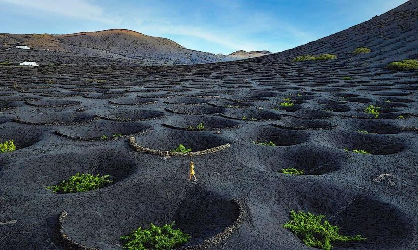
- La Geria (wine region): 15km Southeast
- Mirador del Río: 20km Northeast