Information
Landmark: Parque Natural de Los VolcanesCity: Lanzarote
Country: Canary Islands
Continent: Europe
Parque Natural de Los Volcanes, Lanzarote, Canary Islands, Europe
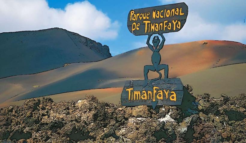
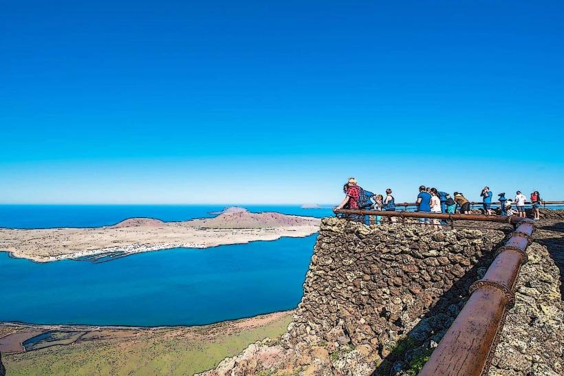
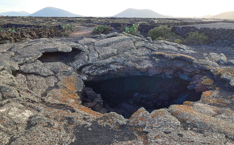
The Parque Natural de Los Volcanes is a protected natural park situated on the island of Lanzarote, part of the Canary Islands archipelago. It surrounds and borders the Timanfaya National Park, preserving the recent volcanic landscapes of the 18th and 19th centuries.
Visual Characteristics
The park is characterized by extensive fields of solidified lava, known locally as "malpaís," displaying a spectrum of colors from black and dark grey to reddish-brown and ochre. Prominent features include numerous volcanic cones, craters, and lava tubes. Vegetation is sparse, consisting primarily of lichens, mosses, and resilient xerophytic plants adapted to the arid, mineral-rich soil. The terrain is rugged and uneven, with sharp, jagged rock formations.
Location & Access Logistics
The park is centrally located on Lanzarote, directly adjacent to Timanfaya National Park. Access is primarily by car via roads such as the LZ-67, which runs between Mancha Blanca and Yaiza, or the LZ-30, which skirts its eastern edge. Several unpaved tracks and designated parking areas are available at trailheads, such as the access point for Caldera Blanca near Mancha Blanca. Public transport options directly into the park are limited; visitors typically rely on private vehicles or organized tours.
Historical & Ecological Origin
The Parque Natural de Los Volcanes is a geological formation resulting from the major volcanic eruptions that occurred on Lanzarote between 1730 and 1736, with subsequent activity in 1824. It is classified as a volcanic landscape, showcasing various eruptive phenomena including lava flows (pahoehoe and 'a'ā), pyroclastic cones, and volcanic tubes. The ecosystem is arid and highly specialized, supporting pioneer species adapted to extreme conditions and nutrient-poor volcanic substrates.
Key Highlights & Activities
Hiking is the primary activity, with marked trails leading to significant volcanic features. The ascent to the rim of Caldera Blanca offers panoramic views of the park and the island. Exploring the lava fields and observing the diverse volcanic rock formations is also a key highlight. Photography of the unique geological formations and stark landscapes is popular.
Infrastructure & Amenities
Infrastructure within the park is minimal. There are no dedicated restrooms, shade structures, or food vendors inside the natural park boundaries. Cell phone signal (4G/5G) can be intermittent in certain areas due to the rugged terrain. Visitors should carry their own water and provisions.
Best Time to Visit
The best time to visit is during the cooler months, from October to May, to avoid the intense summer heat. Early mornings or late afternoons are ideal for hiking, providing more comfortable temperatures and softer light for photography, which enhances the colors of the volcanic landscape. There are no specific tide requirements for visiting this terrestrial park.
Facts & Legends
The park serves as a buffer zone for the more strictly protected Timanfaya National Park, sharing the same geological origins from the 18th-century eruptions. A local tip is to explore the lesser-known trails, such as the path to Caldera Colorada, which features a striking red crater and a large volcanic bomb at its base, offering a less crowded experience than some areas of Timanfaya.
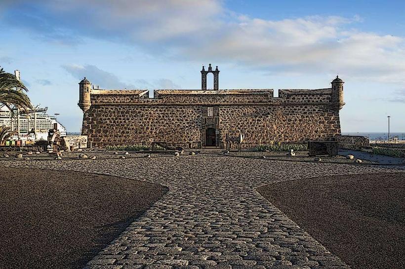
Nearby Landmarks
- Timanfaya National Park: 0km West (borders the park)
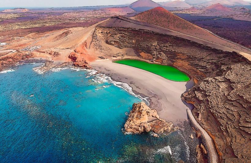
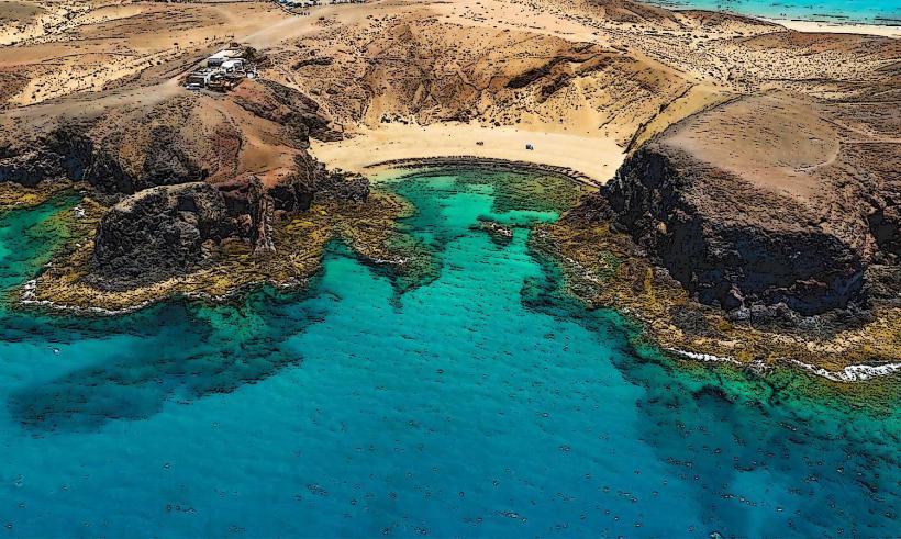
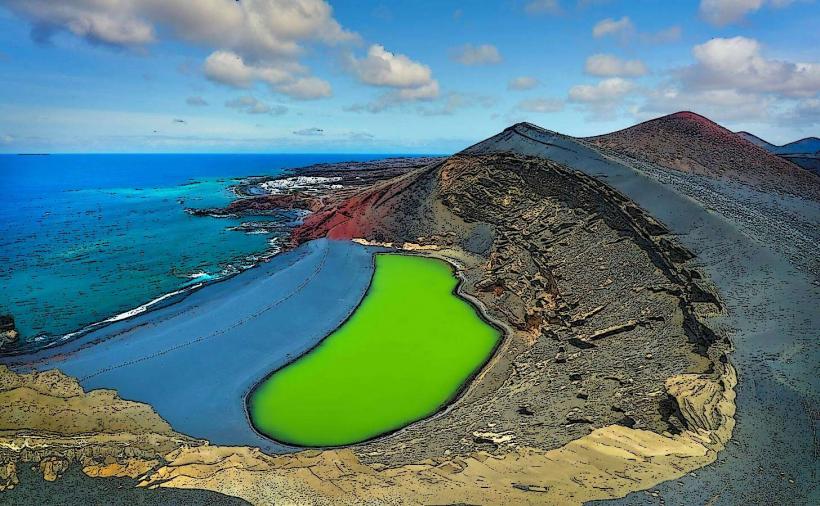
- El Golfo (Charco de los Clicos): 8km Southwest
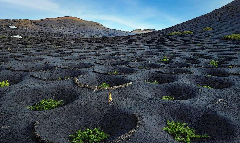
- La Geria (Wine Region): 5km East
- Monumento Natural de Los Ajaches: 15km South
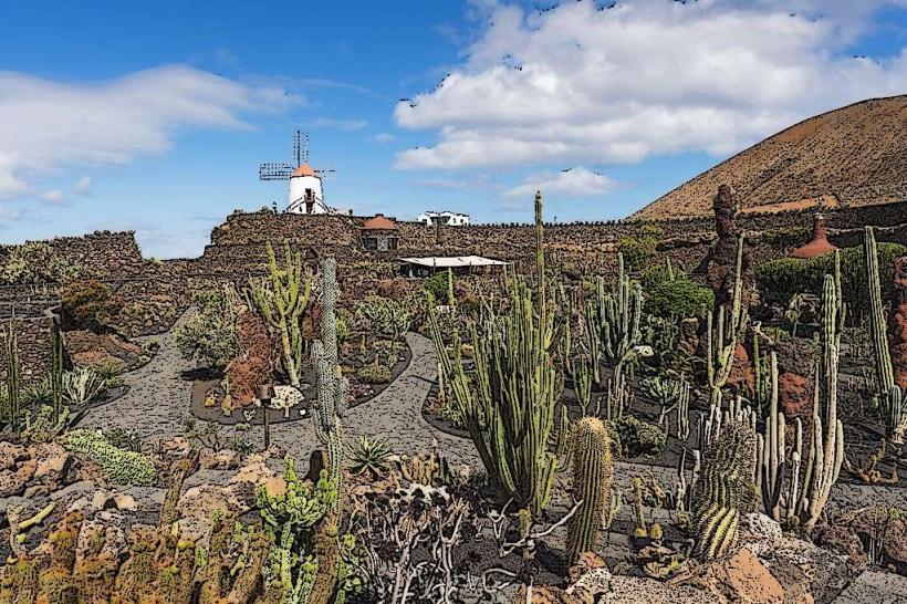
- Museo Agrícola El Patio: 7km Northeast