Information
Landmark: Manzanilla Bay MangrovesCity: Mayaro
Country: Trinidad and Tobago
Continent: North America
Manzanilla Bay Mangroves, Mayaro, Trinidad and Tobago, North America
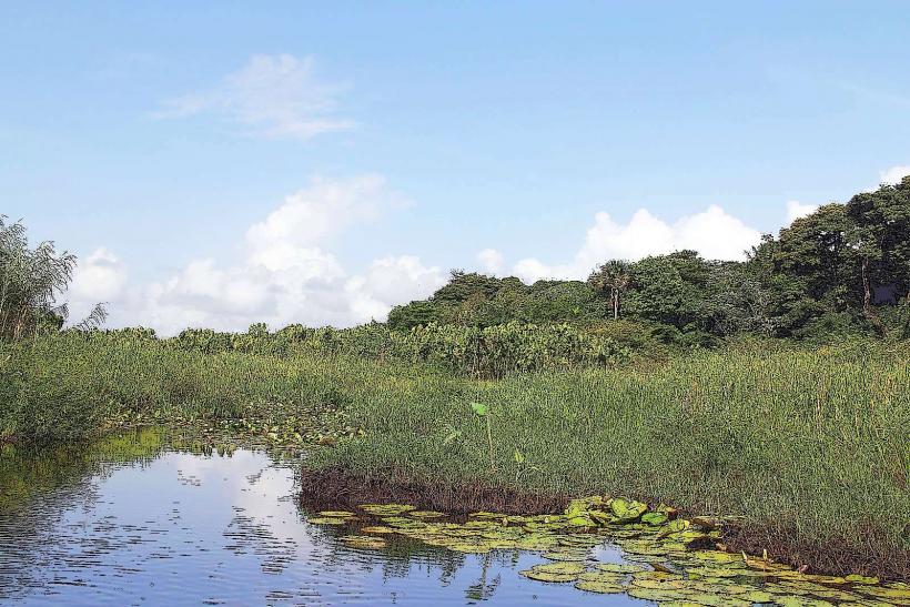
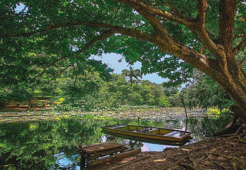
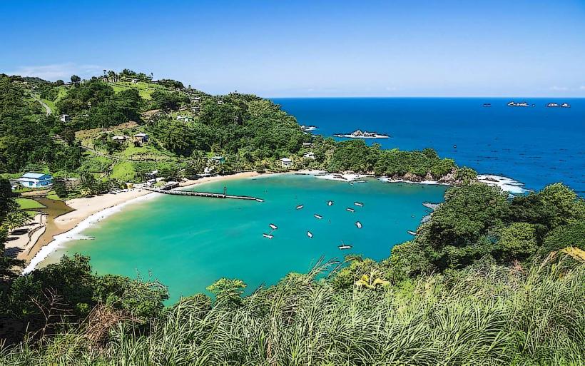
Manzanilla Bay Mangroves is a coastal wetland ecosystem located on the eastern coast of Trinidad, near the town of Mayaro, Trinidad and Tobago.
This area comprises a significant expanse of mangrove forest bordering the Atlantic Ocean.
Visual Characteristics
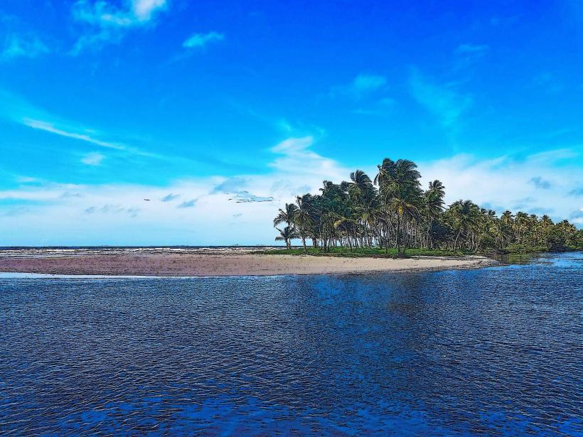
The mangrove forest is characterized by dense stands of red, black, and white mangrove trees. Their prop roots are visible, extending into the brackish water and mudflats. The water within the channels is typically dark brown due to tannins leached from decaying organic matter. Mudflats are exposed during low tide, revealing a substrate rich in sediment.
Location & Access Logistics
Manzanilla Bay Mangroves is situated approximately 70 kilometers east of Port of Spain. Access is primarily via the Manzanilla Road (Siparia-Mayaro Road), which runs along the coastline. Parking is available at designated pull-off points along the road adjacent to the mangrove fringe. Public transport options are limited; local maxi-taxis operate along the main road, but require transfers from Port of Spain.
Historical & Ecological Origin
The mangrove ecosystem at Manzanilla Bay is a natural formation, classified as a coastal mangrove forest. It developed over millennia as a result of sediment deposition and the adaptation of salt-tolerant tree species to the intertidal zone. These forests serve as critical nurseries for marine life and act as natural barriers against coastal erosion.
Key Highlights & Activities
Kayaking or canoeing through the mangrove channels is possible, particularly during high tide. Birdwatching is a primary activity, with numerous resident and migratory species present. Observing the root systems of the mangrove trees and the associated marine invertebrates is also a focus for visitors.
Infrastructure & Amenities
Basic amenities are minimal. There are no dedicated visitor centers or restrooms directly within the mangrove area. Shade is provided by the dense tree canopy. Cell phone signal (4G/5G) is generally available along the Manzanilla Road. Food vendors are typically found in the nearby town of Mayaro.
Best Time to Visit
The best time for birdwatching is generally during the early morning or late afternoon when avian activity is highest. The dry season, from January to May, offers more predictable weather. High tide is recommended for navigating the channels by boat or kayak to ensure sufficient water depth.
Facts & Legends
A local belief suggests that the spirits of ancient mariners sometimes appear as lights flickering within the mangrove depths on moonless nights. Scientifically, the mangrove roots create a complex habitat that supports a high biodiversity of fish, crustaceans, and mollusks, acting as a vital link in the coastal food web.
Nearby Landmarks
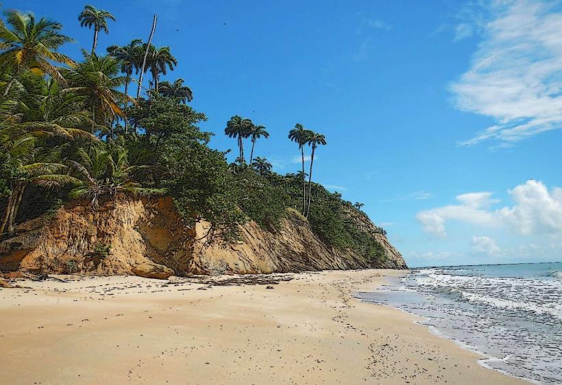
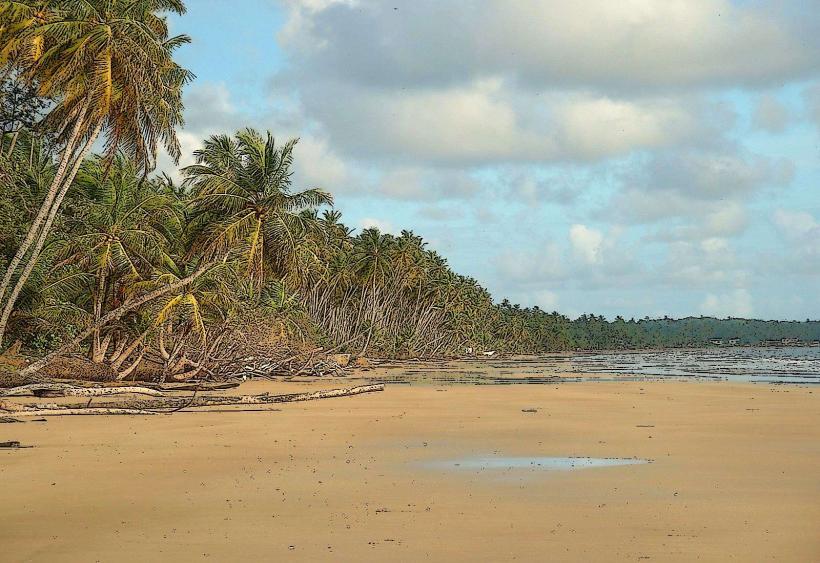
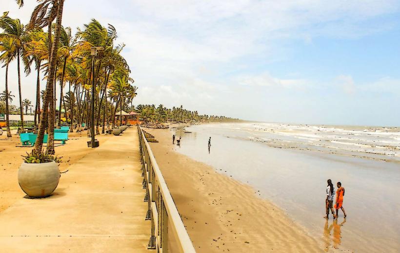
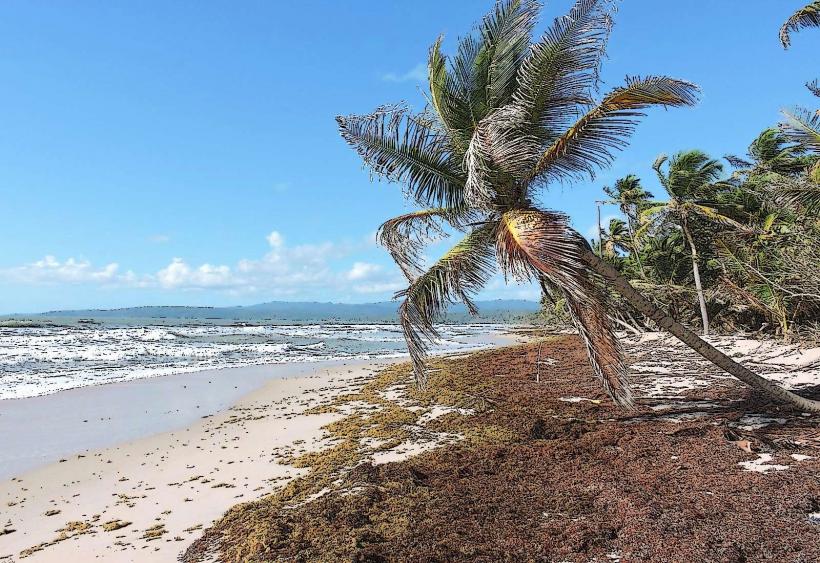
- Mayaro Beach (0.8km South)
- Nariva Swamp (5km West)
- Point Radix Lighthouse (4km East)
- Plum Mitan Village (3km Northwest)