Information
Landmark: Mayaro BeachCity: Mayaro
Country: Trinidad and Tobago
Continent: North America
Mayaro Beach, Mayaro, Trinidad and Tobago, North America
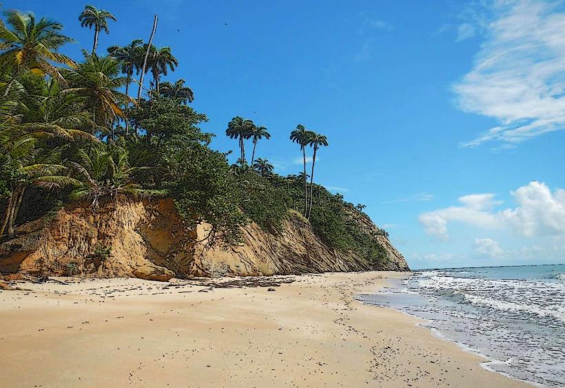
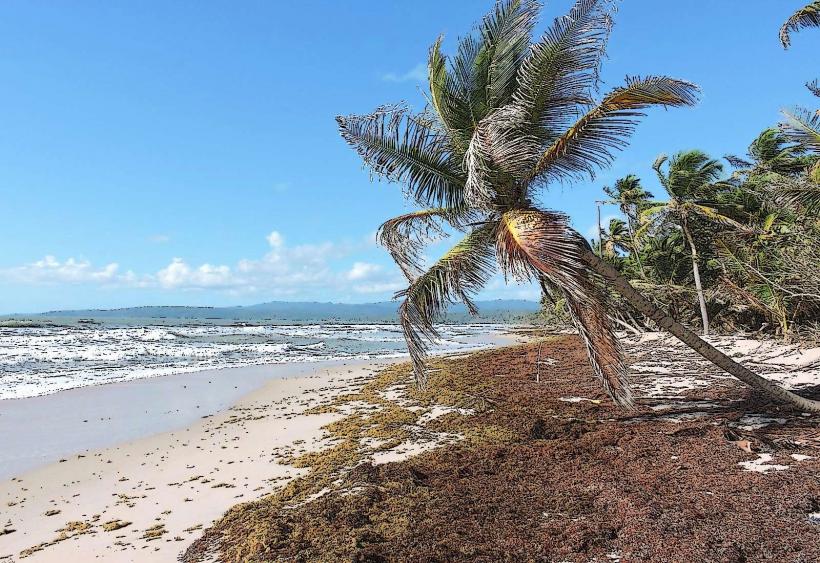
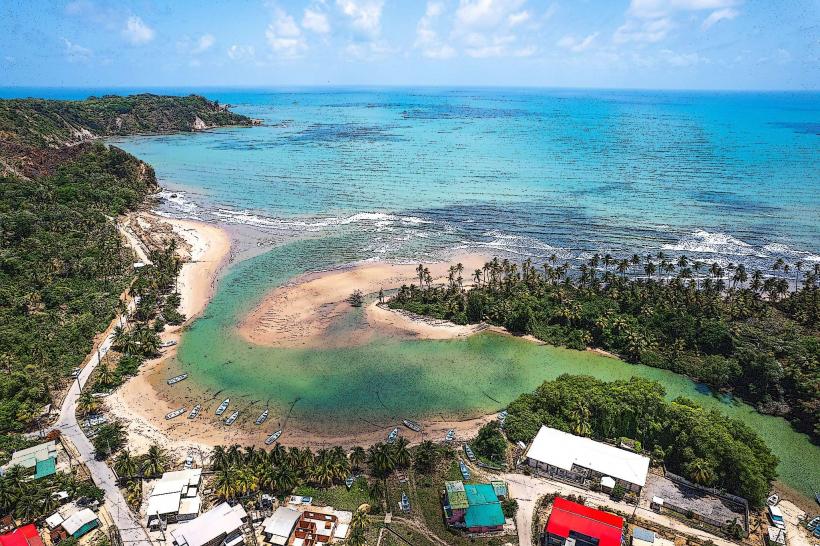
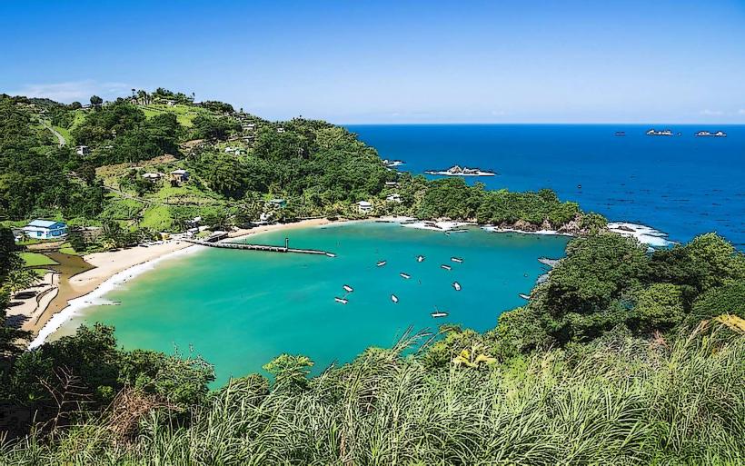
Mayaro Beach is a 12-kilometer stretch of coastline located on the southeastern tip of Trinidad, in the Republic of Trinidad and Tobago.
Visual Characteristics
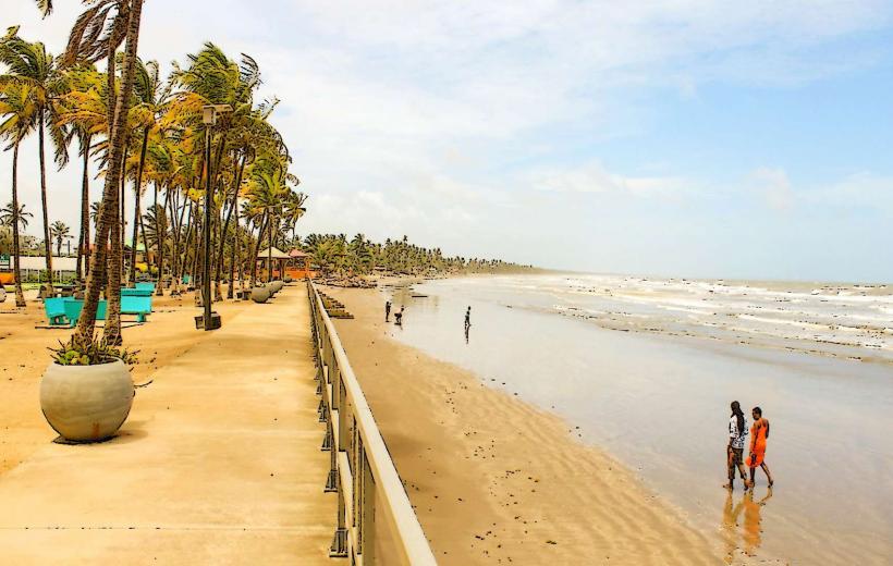
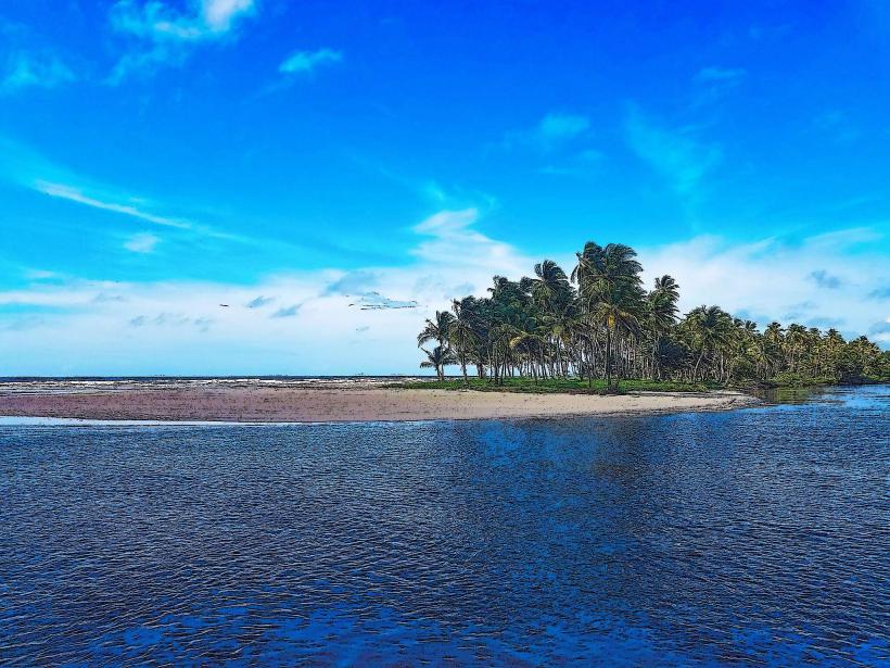
The beach features dark, coarse sand due to its iron content. The water is typically a deep blue-green. The shoreline is lined with coconut palms and other tropical vegetation. The beach is generally wide, with a moderate slope into the ocean.
Location & Access Logistics
Mayaro Beach is situated approximately 70 kilometers southeast of Port of Spain. Access is primarily via the Naparima-Mayaro Road (Siparia-Mayaro Road). From the city center of Mayaro, it is a direct drive east along the coast. Parking is available along the roadside and in designated informal areas. Public transport options are limited; local maxi-taxis operate on routes connecting Mayaro to other towns, but direct service to the beach itself is not guaranteed. Boat access is not a standard visitor option.
Historical & Ecological Origin
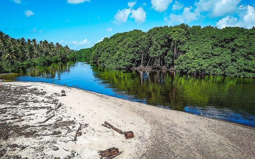
Mayaro Beach is a natural coastal formation, shaped by the Atlantic Ocean's currents and sediment deposition over millennia. Ecologically, it is part of the Guiana-Amazonian coastal plain, characterized by sandy beaches and coastal forests. Historically, the area has been utilized by indigenous populations and later by colonial settlers for fishing and agriculture.
Key Highlights & Activities
Swimming is possible, though caution is advised due to strong currents. Fishing from the shore is a common activity. Beachcombing for shells and driftwood is available. The area is known for turtle nesting during specific seasons (November to March for Leatherbacks and Hawksbills), with guided night tours sometimes available through local conservation groups. Birdwatching is also possible in the adjacent vegetation.
Infrastructure & Amenities
Restrooms are available at some public access points, though their condition can vary. Shade is provided by natural vegetation. Cell phone signal (4G) is generally available. Food vendors are often present, particularly on weekends and holidays, offering local snacks and drinks. There are no formal resorts or hotels directly on the beach, but guesthouses and rental properties are located in the surrounding Mayaro village.
Best Time to Visit
For optimal weather, the dry season from January to May is recommended. The best time of day for photography is generally early morning or late afternoon when the sun's angle creates softer light. Turtle nesting season (November to March) offers a specific reason to visit, with night tours requiring advance booking. High tide can reduce the available beach area.
Facts & Legends
A local legend speaks of a mythical sea creature, the "Sea Cow," said to inhabit the waters off Mayaro, though this is unsubstantiated. A verified historical oddity is the presence of iron deposits in the sand, giving it a darker hue than many other Caribbean beaches.
Nearby Landmarks
- Point Radix Lighthouse (2.5km East)
- Manzanilla Beach (15km Northwest)
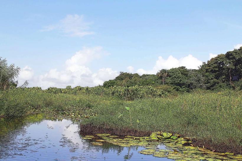
- Nariva Swamp (18km West)
- Galeota Point (4km East)