Information
Landmark: Ortoire RiverCity: Mayaro
Country: Trinidad and Tobago
Continent: North America
Ortoire River, Mayaro, Trinidad and Tobago, North America
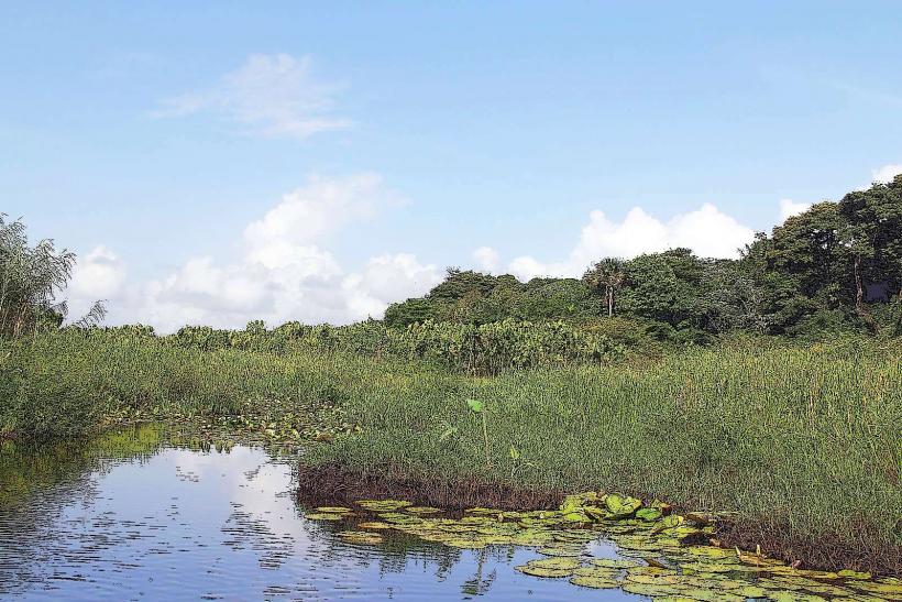
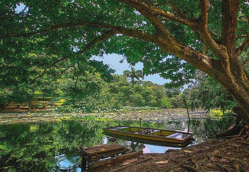
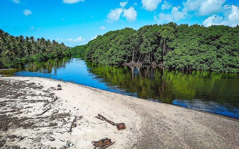
The Ortoire River is a significant waterway located in Mayaro, Trinidad and Tobago. It serves as a primary drainage channel for the southeastern region of the island.
Visual Characteristics
The river's water color varies from brown to dark brown, influenced by sediment load. The banks are characterized by dense tropical vegetation, including mangrove species and various palm trees. The river's width fluctuates, averaging approximately 30 meters in its lower reaches before it meets the Atlantic Ocean.
Location & Access Logistics
The Ortoire River is situated in the southeastern part of Trinidad, approximately 70 kilometers from the capital city, Port of Spain. Access is primarily via the Naparima-Mayaro Road (Siparia-Mayaro Road). Several unpaved access tracks lead directly to the riverbanks, suitable for 4x4 vehicles. Public transport options are limited; local maxi-taxis operate along the main road, requiring a walk to the river. Parking is informal and available along the access tracks.
Historical & Ecological Origin
The Ortoire River is a natural fluvial system, shaped by geological processes over millennia. Its ecological significance lies in its role as a habitat for diverse aquatic life and its contribution to the coastal mangrove ecosystem at its estuary. The river's drainage basin covers a substantial portion of the island's southeastern quadrant.
Key Highlights & Activities
Activities include fishing, particularly for species like snook and tarpon. Boat tours are available for exploring the river and its associated mangrove systems. Birdwatching is a common activity due to the presence of various resident and migratory species. Kayaking is possible in calmer sections of the river.
Infrastructure & Amenities
Basic amenities are scarce directly at the river. There are no public restrooms or designated shade structures along most of the riverbanks. Cell phone signal (4G/5G) is intermittent and generally weak away from the main road. Food vendors are typically found in the nearby town of Mayaro, not directly adjacent to the river.
Best Time to Visit
The best time for fishing is generally during the cooler, drier months, from December to May. For birdwatching, the early morning and late afternoon offer optimal viewing conditions due to animal activity. High tide can affect accessibility to certain fishing spots.
Facts & Legends
Local folklore suggests that the Ortoire River was once a route for indigenous peoples traveling inland. A specific point of interest is the confluence with smaller tributaries, where local fishermen report higher catch rates. The river's estuary is a critical nursery ground for several commercially important fish species.
Nearby Landmarks
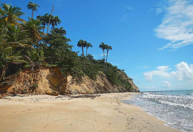
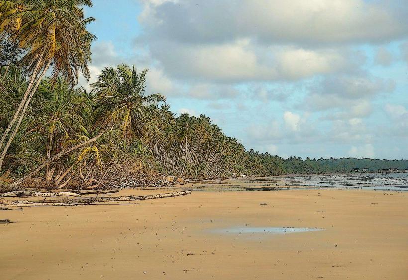
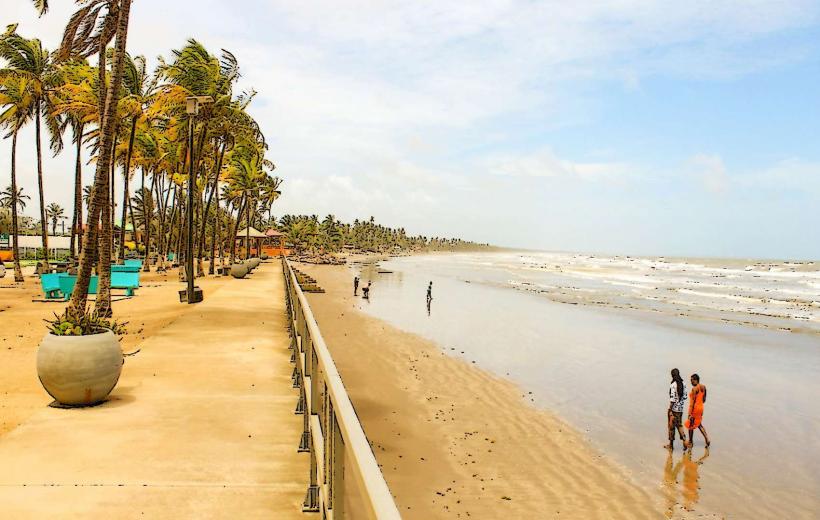
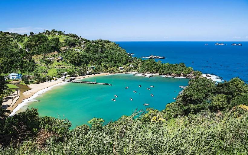
- Mayaro Beach (1.5km East)
- Nariva Swamp (10km Northwest)
- Point Radix (5km Southeast)
- Manzanilla Beach (15km North)