Information
Landmark: Mason-Dixon Line MarkerCity: Hagerstown
Country: USA Maryland
Continent: North America
Mason-Dixon Line Marker, Hagerstown, USA Maryland, North America
Overview
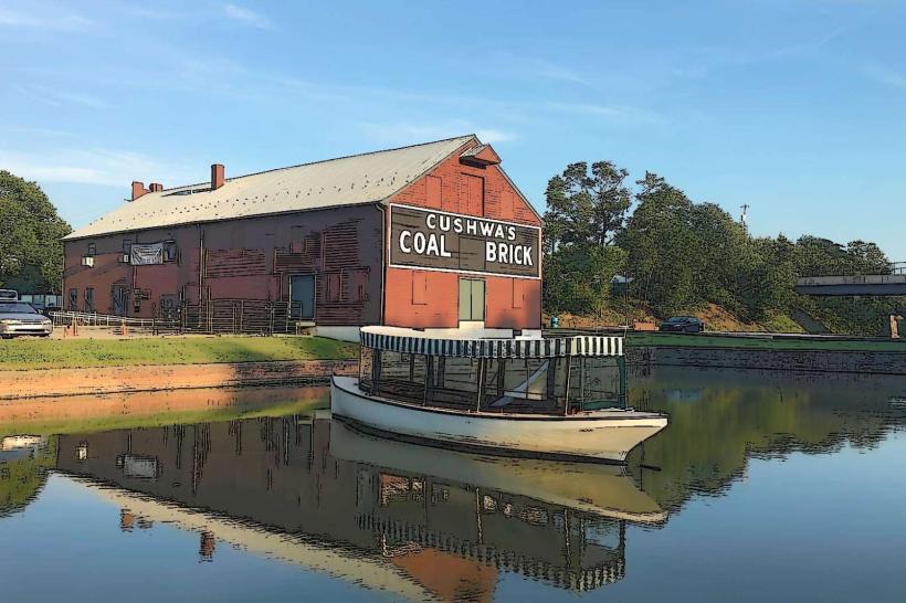
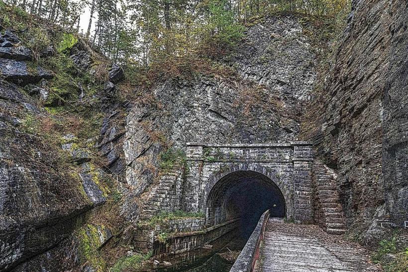
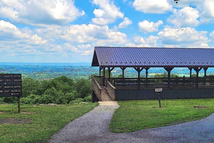
The Mason-Dixon Line Marker is one of the carved boundary stones set in the 1760s to settle colonial disputes between Pennsylvania and Maryland, and later other states, each weathered by centuries of wind and rain along the historic surveyed border, while the line gained fame as the cultural divide between North and South, a border as sharp as the difference in accents you’d hear on either side.Between 1763 and 1767, English astronomers Charles Mason and Jeremiah Dixon surveyed the Mason-Dixon Line, marking the rolling fields and wooded hills that divided the colonies, likewise it was meant to resolve the tangled land disputes between Maryland, Pennsylvania, and Delaware-colonies that once argued over every wooded ridge and winding creek.Mason and Dixon used exacting astronomical measurements to mark a boundary so precise for its day you could measure it by the width of a coin, likewise although it began as a colonial boundary, the Mason-Dixon Line took on far greater meaning in the 19th century, marking the stark divide between free Northern states and slaveholding Southern ones in the years leading up to and through the Civil War.The Mason-Dixon Line is marked by stone monuments set along its surveyed boundary, each one solid and weathered under decades of sun and rain, furthermore there are several kinds of stones, but the Crown Stones stand out-large blocks set every five miles, their weathered faces carved with the coats of arms of the Penn family of Pennsylvania and the Calvert family of Maryland.Boundary Stones: modest markers set every mile, each one pinpointing the surveyed line like a pebble tucked into the grass, alternatively many of the original stones are still here, their rough edges worn smooth, carefully kept as pieces of history.You’ll spot them in pockets along the Maryland–Pennsylvania line, and here and there in Delaware and West Virginia-sometimes near a quiet stretch of roadside or a weathered fence, while you can still find many Mason-Dixon Line markers today, tucked beside winding trails, quiet parks, or dusty rural roads along the Maryland–Pennsylvania border.Several of them appear on the National Register of Historic Places, including one with faded brass plaques by its doorway, not only that you can spot boundary markers near Hancock, Maryland-weathered stones you can meander right up to, sometimes with a modest plaque offering a bit of local history.Actually, In state parks and other protected areas, some markers are carefully preserved, offering visitors a glimpse of history-like a weathered plaque tucked beside a shaded trail, while standing at a Mason-Dixon Line marker, you can feel history under your feet-a direct link to early American surveying, colonial days, and the symbols that shaped the Civil War era.You can reach many markers by hiking a trail or driving down quiet local roads, where they invite you to explore the history and snap a quick photo of the view, furthermore the Mason-Dixon Line markers are historic stone monuments marking the antique colonial boundary between Maryland and Pennsylvania, first plotted in the 1760s by Charles Mason and Jeremiah Dixon, their chisel marks still faintly visible in the weathered rock, a little As you can see, Beyond their role in technical surveying, they’ve become a powerful cultural and historical marker, like a faint line in the dust tracing historic divisions in America’s past, in conjunction with scattered in different places, these markers still stand, open for anyone to discover and learn from-some weathered with faint traces of heritage paint.
Author: Tourist Landmarks
Date: 2025-10-06