Information
Landmark: Missouri River Basin Lewis & Clark ParkCity: Nebraska City
Country: USA Nebraska
Continent: North America
Missouri River Basin Lewis & Clark Park, Nebraska City, USA Nebraska, North America
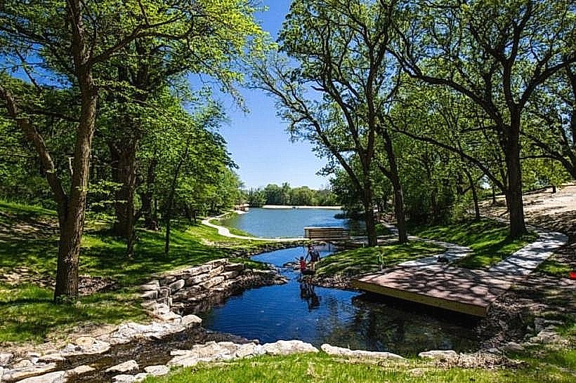
Missouri River Basin Lewis & Clark Park is a public recreational area situated in Nebraska City, Nebraska, USA.
This park commemorates the 1804-1806 Lewis and Clark Expedition's passage through the region.
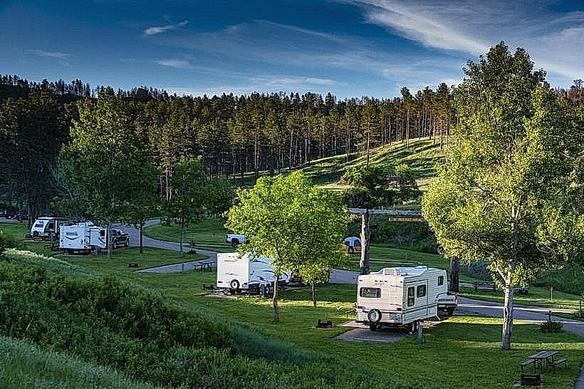
Visual Characteristics
The park features a confluence of the Missouri River and a smaller tributary. The terrain is predominantly flat with areas of mowed grass and mature deciduous trees providing canopy cover. Riverbanks are composed of soil and sediment, with some exposed gravel bars during lower water levels. The water color of the Missouri River is typically a muddy brown due to sediment load.
Location & Access Logistics
The park is located approximately 3 kilometers west of downtown Nebraska City. Access is via State Highway 2, turning south onto County Road 10 (also known as Lewis and Clark Road). The park entrance is clearly marked. Ample gravel parking is available near the main pavilion and boat ramp. No public transportation services directly access the park.
Historical & Ecological Origin
The park's origin is tied to the historical significance of the Lewis and Clark Expedition's exploration of the Missouri River. Ecologically, the area represents a riparian zone, a transition area between terrestrial and aquatic ecosystems, supporting diverse plant and animal life adapted to riverine environments.
Key Highlights & Activities
Activities include fishing from the riverbank or designated piers, boating via the public boat ramp, and picnicking at the covered pavilion. Hiking is possible on unpaved trails that follow the river's edge. Birdwatching is a common activity due to the riparian habitat.
Infrastructure & Amenities
The park provides a covered picnic pavilion with tables and grills. Restroom facilities are available near the pavilion. Cell phone signal (4G) is generally present within the park. No on-site food vendors operate within the park; visitors should bring their own provisions.
Best Time to Visit
For optimal fishing and boating conditions, the months of April through October are recommended. Early morning and late afternoon offer the best lighting for photography. High water levels can impact access to some riverbank areas.
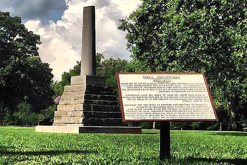
Facts & Legends
A specific point of interest is the marker indicating the approximate location where the Corps of Discovery made camp during their expedition. Local lore suggests that during periods of extreme drought, remnants of historical artifacts from early settlements can sometimes be found along the exposed riverbed.
Nearby Landmarks
- Arbor Day Farm Foundation (1.5km Southwest)
- Wildwood Historic Center (2.8km East)
- Steamboat Bertrand Museum (4.2km Northeast)
- Otoe County Historical Museum (3.1km East)