Information
Landmark: Riverside ParkCity: Nebraska City
Country: USA Nebraska
Continent: North America
Riverside Park, Nebraska City, USA Nebraska, North America
Riverside Park is a public recreational area situated along the Missouri River in Nebraska City, Nebraska, USA.
Visual Characteristics
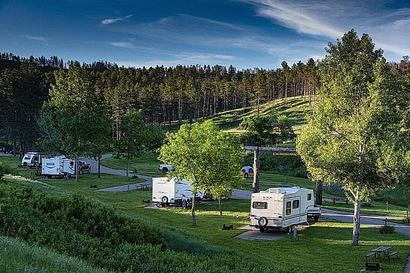
The park features a predominantly flat terrain with mature deciduous trees providing canopy cover. The Missouri River forms the eastern boundary, with a sandy bank transitioning to a muddy riverbed. Grassed areas are maintained for open use. The park's infrastructure includes paved pathways and picnic shelters constructed from concrete and wood.
Location & Access Logistics
Riverside Park is located at the eastern edge of Nebraska City, approximately 1.5 kilometers east of the city center. Access is via Riverside Boulevard, which connects to US Highway 75. Ample free parking is available in designated lots throughout the park. Public transport options are limited; the nearest bus stop is located on Central Avenue, approximately 2 kilometers from the park entrance.
Historical & Ecological Origin
Riverside Park was established in the early 20th century as a municipal park to provide public access to the Missouri River. Its ecological origin is tied to the alluvial plains of the Missouri River, characterized by fertile soil deposited by historical flooding events. The river itself is a major tributary of the Mississippi River.
Key Highlights & Activities
Activities include fishing from the riverbank, picnicking at designated sites, and walking or cycling on the paved trails. Boat launching facilities are available for river access. Birdwatching is a common activity due to the riparian habitat.
Infrastructure & Amenities
Restrooms are available in the central area of the park. Several picnic shelters offer shade. Cell phone signal (4G) is generally available within the park. No on-site food vendors are present, but convenience stores are located within 1 kilometer of the park entrance.
Best Time to Visit
For photography, early morning and late afternoon offer optimal lighting conditions due to the sun's angle relative to the river. The months of May through October provide the most favorable weather for outdoor activities. River conditions can vary; check local advisories for safe water access.
Facts & Legends
During the steamboat era, this section of the Missouri River was a critical transportation route. Local lore suggests that during periods of low water, remnants of old steamboat hulls can sometimes be observed along the riverbed.
Nearby Landmarks
- Arbor Day Farm (1.2km West)
- Nebraska City Museum of Firefighting (1.8km West)
- Wildwood Historic Home (2.0km West)
- Otoe County Historical Museum (2.2km West)