Information
Landmark: Mount PimardCity: Gros Islet
Country: Saint Lucia
Continent: North America
Mount Pimard, Gros Islet, Saint Lucia, North America
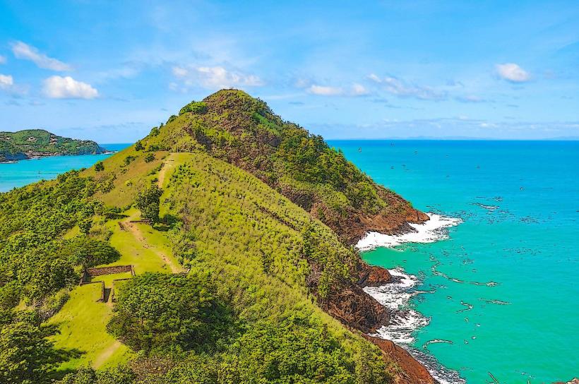
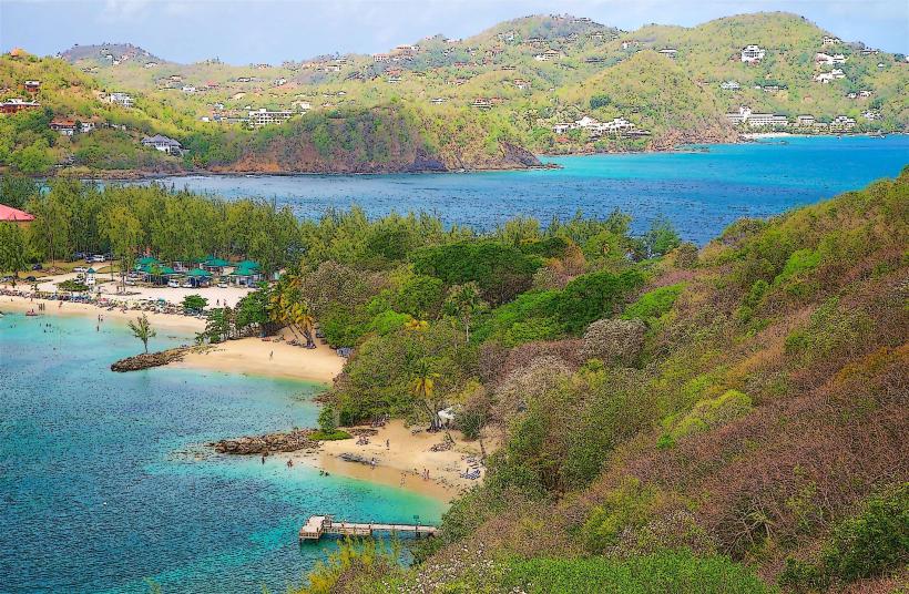
Mount Pimard is a prominent volcanic plug located on the northwestern coast of Gros Islet, Saint Lucia.
This geological formation rises approximately 315 meters (1,033 feet) above sea level.
Visual Characteristics
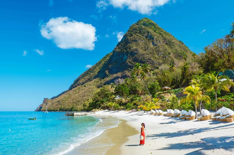
Mount Pimard presents a steep, conical profile. Its slopes are covered in dense tropical vegetation, primarily secondary forest. The exposed rock faces, particularly on the western side, are composed of dark, weathered volcanic rock. The summit area is characterized by a cluster of trees and scrub.
Location & Access Logistics
Mount Pimard is situated at the northern end of Rodney Bay, approximately 7 kilometers (4.3 miles) north of Castries. Access is via Pigeon Island Causeway, which connects to the mainland. Parking is available at the base of the mountain near the entrance to Pigeon Island National Park. Public transport, specifically bus route 1A (Castries to Gros Islet), stops near the causeway, requiring a short walk to the trailhead.
Historical & Ecological Origin
Mount Pimard is a remnant of volcanic activity that occurred millions of years ago. It is classified as a volcanic plug, formed when magma cooled and solidified within the vent of a volcano. The surrounding area is a tropical rainforest ecosystem, supporting a variety of plant and animal species.
Key Highlights & Activities
Hiking the designated trail to the summit is the primary activity. The trail is approximately 1.5 kilometers (0.9 miles) one way and involves a moderate to strenuous climb. Observation points along the trail offer views of Rodney Bay and the surrounding coastline. Birdwatching is also possible due to the diverse avian population.
Infrastructure & Amenities
Restrooms are available at the base of the mountain near the park entrance. Shade is limited on the hiking trail, with most cover provided by the forest canopy. Cell phone signal (4G/5G) is generally available at the base and intermittently along the trail. No food vendors are present directly at the trailhead; options are available in nearby Rodney Bay.
Best Time to Visit
The best time of day for hiking is early morning (between 7:00 AM and 10:00 AM) to avoid the midday heat and for optimal lighting conditions for photography. The driest months are typically from December to May, offering more favorable hiking conditions. No tide-dependent activities are associated with Mount Pimard.
Facts & Legends
Local folklore suggests that the shape of Mount Pimard resembles a sleeping giant. Historically, it served as a strategic lookout point during colonial times due to its commanding views of the coastline.
Nearby Landmarks
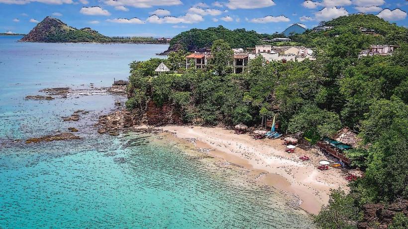
- Pigeon Island National Park (0.1km South)
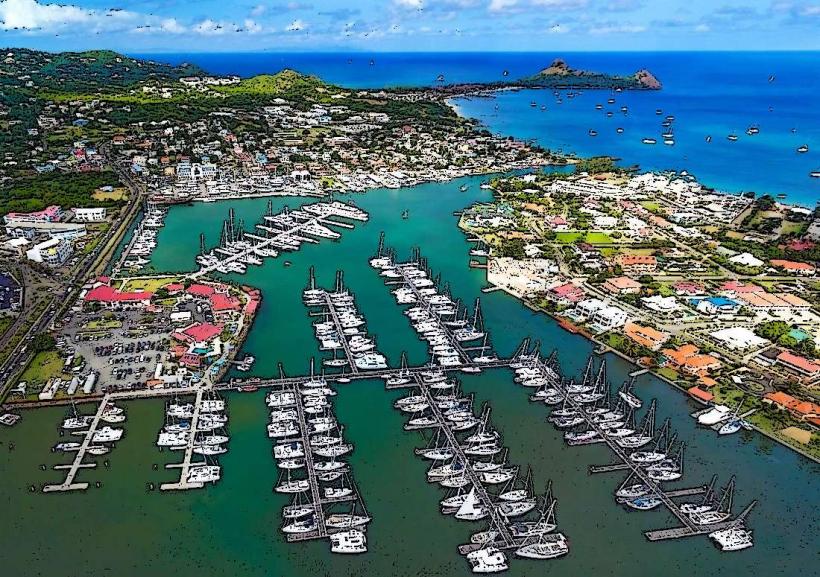
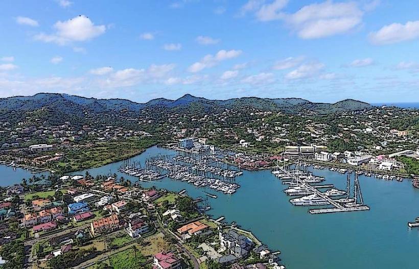
- Rodney Bay Marina (1.5km Southeast)
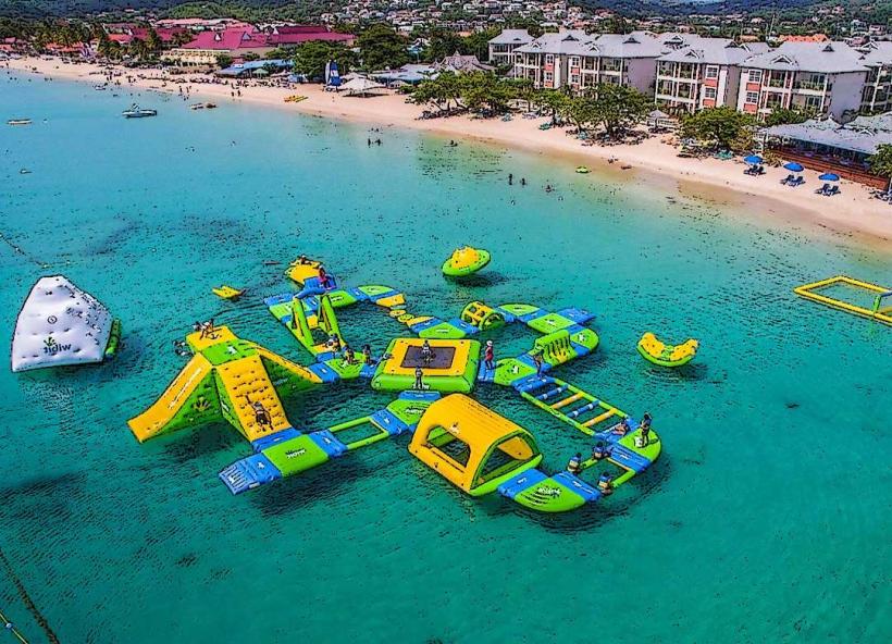
- Reduit Beach (2.0km Southwest)
- Fort Rodney (0.3km South)
- Cap Maison (3.5km Northwest)