Information
Landmark: Pigeon Island CausewayCity: Gros Islet
Country: Saint Lucia
Continent: North America
Pigeon Island Causeway, Gros Islet, Saint Lucia, North America
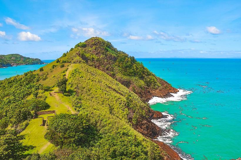
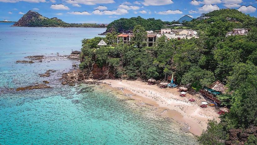
Pigeon Island Causeway is a man-made land bridge connecting the former island of Pigeon Island to the mainland of Saint Lucia. It is located north of Gros Islet.
Visual Characteristics
The causeway is constructed from compacted earth and aggregate, measuring approximately 800 meters in length and 15 meters in width. It is flanked by shallow, calm waters on either side, with mangrove vegetation visible along the western edge. The eastern side offers views of Rodney Bay.
Location & Access Logistics
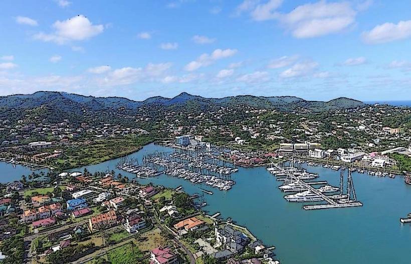
The causeway is situated at the northern tip of Saint Lucia, adjacent to Rodney Bay. Access is via Pigeon Island Road, which branches off the main A4 highway. The distance from Castries is approximately 25 kilometers. Parking is available at the Pigeon Island National Landmark entrance, located at the western end of the causeway. Public transport options include local buses (e.g., Route 2) that run along the A4 highway; disembark at the Rodney Bay intersection and walk approximately 1 kilometer to the causeway entrance.
Historical & Ecological Origin
The causeway was constructed in the 1970s to facilitate access to Pigeon Island, which was previously only reachable by boat. The island itself is a geological formation of volcanic origin. The construction aimed to integrate the island's historical sites and natural environment with the mainland infrastructure.
Key Highlights & Activities
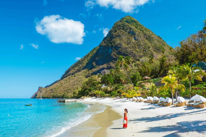
Walking or cycling across the causeway provides access to Pigeon Island National Landmark. Visitors can explore the ruins of Fort Rodney, hike to Signal Peak for panoramic views, and observe birdlife. Swimming is possible in designated areas on the western side during calm conditions.
Infrastructure & Amenities
Restrooms and shaded picnic areas are available within Pigeon Island National Landmark. Cell phone signal (4G/5G) is generally available. Food and beverage vendors operate within the national landmark's premises.
Best Time to Visit
The best time for photography is in the late afternoon, approximately 16:00 to 17:30, for optimal lighting conditions. The dry season, from December to May, offers the most favorable weather. High tide is not a critical factor for causeway access.
Facts & Legends
Pigeon Island was named by Admiral Rodney in the 18th century, reportedly because the shape of the island resembled a pigeon. A local legend suggests that the island was a favored meeting spot for smugglers due to its strategic position.
Nearby Landmarks
- Pigeon Island National Landmark (0.1km West)
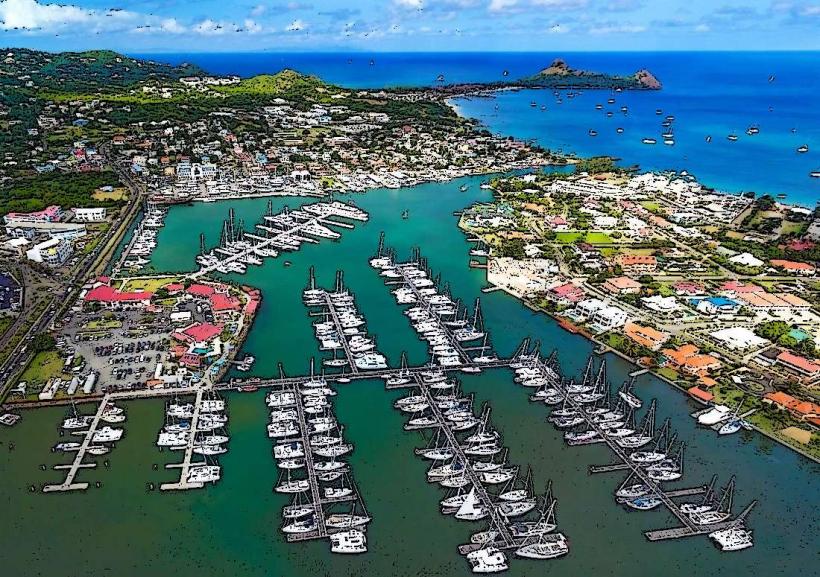
- Rodney Bay Marina (1.5km South)
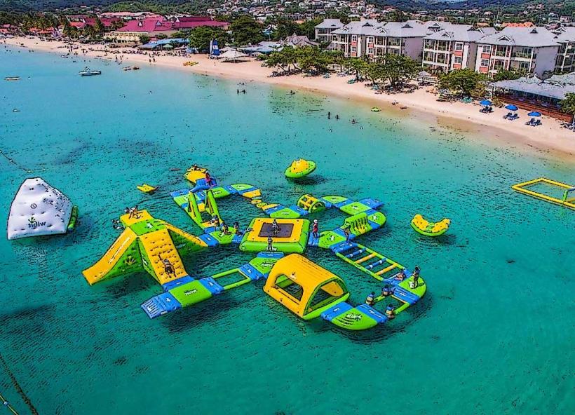
- Reduit Beach (2.0km Southwest)
- Cap Maison (3.5km Northwest)
- Fort Rodney (0.8km West)