Information
Landmark: Reduit BeachCity: Gros Islet
Country: Saint Lucia
Continent: North America
Reduit Beach, Gros Islet, Saint Lucia, North America
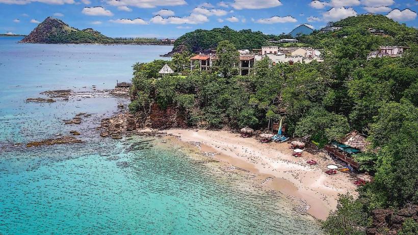
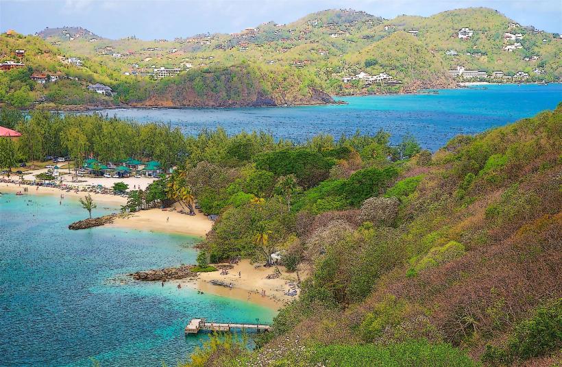
Reduit Beach is a 5km long sandy shoreline situated in Gros Islet, Saint Lucia.
It is a primary public beach on the island's northwest coast.
Visual Characteristics
The beach consists of light brown, fine-grained sand. The water is typically clear and exhibits shades of turquoise and blue. The shoreline is lined with coconut palms and other tropical vegetation. The beach extends approximately 5 kilometers in length.
Location & Access Logistics
Reduit Beach is located approximately 7 kilometers north of Castries, the capital city. Access is via the main coastal road, Marine Drive, which connects Castries to Gros Islet. Numerous parking areas are available along the roadside and in designated lots adjacent to the beach. Public bus routes, specifically bus numbers 001 and 002, run frequently between Castries and Gros Islet, with stops directly at the beach entrance.
Historical & Ecological Origin
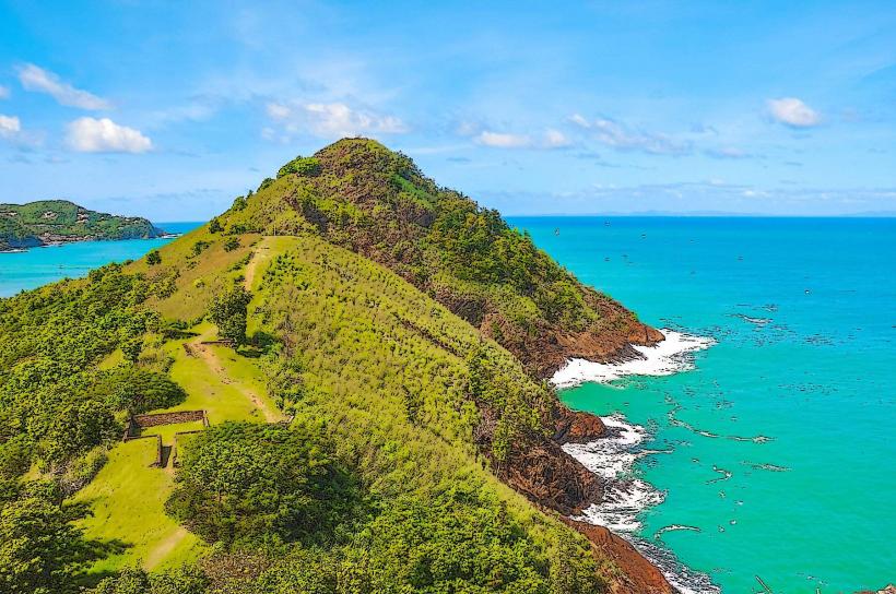
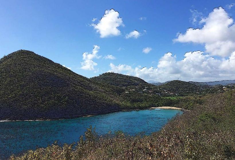
Reduit Beach is a natural coastal formation, part of the island's western coastline shaped by marine erosion and sediment deposition over millennia. Its ecological significance lies in its role as a habitat for various marine and coastal species.
Key Highlights & Activities
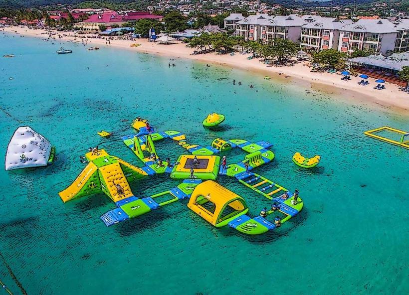
Swimming is a primary activity. Watersports equipment rental, including jet skis and paddleboards, is available. Beachfront restaurants and bars offer dining and refreshment options. Sunbathing and relaxation are common. The northern end of the beach is adjacent to Pigeon Island National Park.
Infrastructure & Amenities
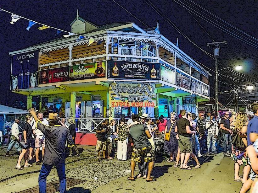
Public restrooms are located at intervals along the beach. Shade is provided by natural palm trees and some man-made structures. Cell phone signal (4G/5G) is generally strong. Food vendors and permanent food establishments are present along the beach promenade.
Best Time to Visit
For photography, early morning (7:00 AM - 9:00 AM) and late afternoon (4:00 PM - 6:00 PM) offer optimal lighting conditions with reduced glare. The driest months are typically from December to May, offering consistent sunny weather. High tide can reduce the visible sand area, while low tide exposes more of the shoreline.
Facts & Legends
During the colonial era, Reduit Beach served as a strategic defensive point. Local folklore suggests that during certain moon phases, the water near the northern end of the beach glows faintly due to bioluminescent plankton, though this is not a guaranteed occurrence.
Nearby Landmarks
- Pigeon Island National Park (0.2km North)
- Gros Islet Town Centre (1.5km North)
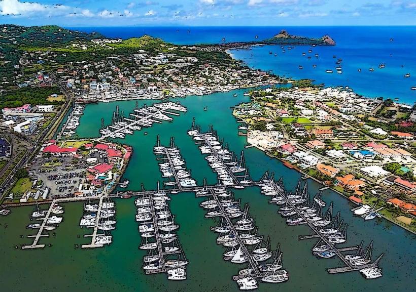
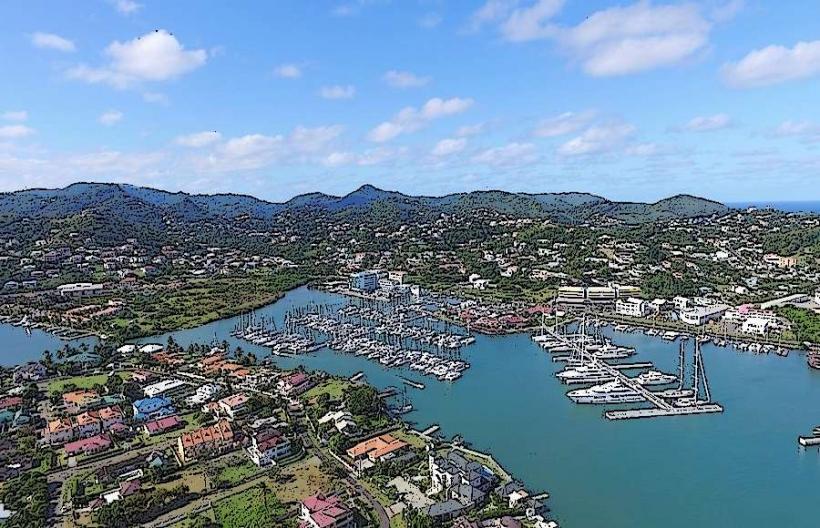
- Rodney Bay Marina (2.0km North)
- Cap Estate Golf Course (4.0km North)
- Fort Rodney (within Pigeon Island National Park, 0.2km North)