Information
Landmark: Múlagljúfur CanyonCity: Westfjords
Country: Iceland
Continent: Europe
Múlagljúfur Canyon, Westfjords, Iceland, Europe
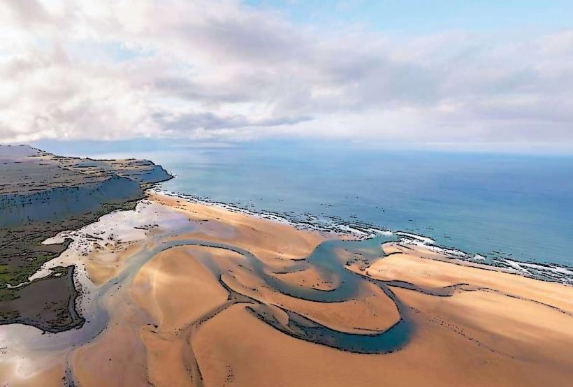
Múlagljúfur Canyon is a deep, narrow canyon characterized by steep moss-covered walls and multiple waterfalls. It is situated in Southeast Iceland, approximately 25 kilometers west of Höfn.
Visual Characteristics
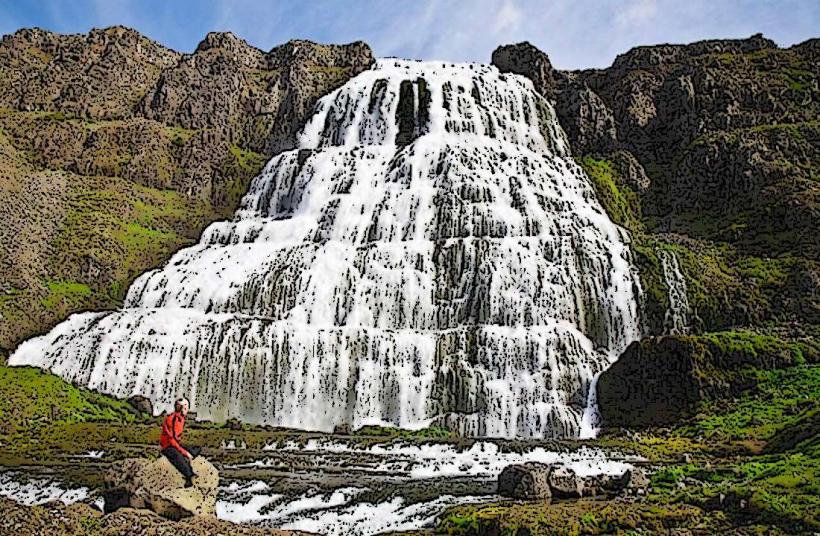
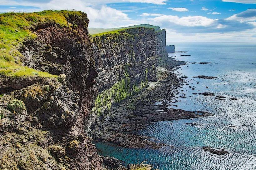
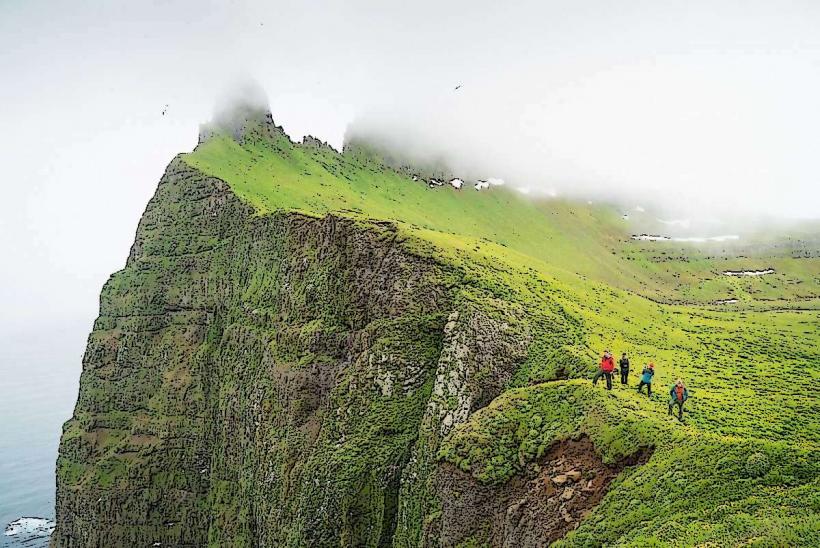
The canyon presents a deep, U-shaped profile, primarily composed of dark volcanic rock. Its walls are extensively covered in bright green moss and various vegetation. Two prominent waterfalls, Hangandifoss and Múlafoss, descend the canyon sides. A glacial river, often exhibiting a milky blue-grey hue, flows along the canyon floor. The canyon reaches depths of approximately 100 meters in certain sections.
Location & Access Logistics
Access to Múlagljúfur Canyon is via a gravel road, F-road F985, which diverges from the Ring Road (Route 1). The turn-off is located between Jökulsárlón and Höfn, approximately 10 kilometers east of the turn-off for Fjallsárlón. The gravel road extends for approximately 5 kilometers and necessitates a 4x4 vehicle, particularly during wet conditions. A small, unpaved parking area is available at the trailhead. Public transportation services do not extend to this specific location; private vehicle or guided tour arrangements are required.
Historical & Ecological Origin
Múlagljúfur Canyon is a geological formation primarily shaped by glacial erosion and meltwater over millennia. It is classified as a glacial canyon, formed during and subsequent to the last ice age as glaciers receded and rivers incised into the volcanic bedrock. The canyon's U-shape is characteristic of glacial valley formation, further deepened by fluvial action.
Key Highlights & Activities
Hiking constitutes the primary activity, following a marked trail from the parking area. The trail leads to designated viewpoints offering perspectives of Hangandifoss and Múlafoss. Photography of the waterfalls and the canyon landscape is a significant highlight. The round-trip hike to the main viewpoints typically requires 1.5 to 2 hours.
Infrastructure & Amenities
No permanent restrooms are available at the trailhead or along the hiking path. There are no designated shade structures. Cell phone signal (4G/5G) is intermittent and unreliable within the canyon itself, though generally accessible near the Ring Road. No food vendors or retail establishments are present at the site; visitors must supply their own provisions.
Best Time to Visit
The optimal period for visitation spans from June through September, when the trail is typically clear of snow and ice. Early morning or late afternoon hours provide favorable lighting conditions for photography, mitigating harsh shadows within the deep canyon. Access roads may be subject to closure during winter months due to snow accumulation.
Facts & Legends
The canyon experienced a notable increase in visitor numbers following its appearance in a major motion picture. A practical tip for visitors is to wear waterproof hiking boots, as sections of the trail can be muddy and involve crossing minor streams.
Nearby Landmarks
- Jökulsárlón Glacier Lagoon: 25km West
- Fjallsárlón Glacier Lagoon: 20km West
- Höfn: 25km East
- Vestrahorn Mountain (Stokksnes): 40km East