Information
Landmark: Vatnsfjörður Nature ReserveCity: Westfjords
Country: Iceland
Continent: Europe
Vatnsfjörður Nature Reserve, Westfjords, Iceland, Europe
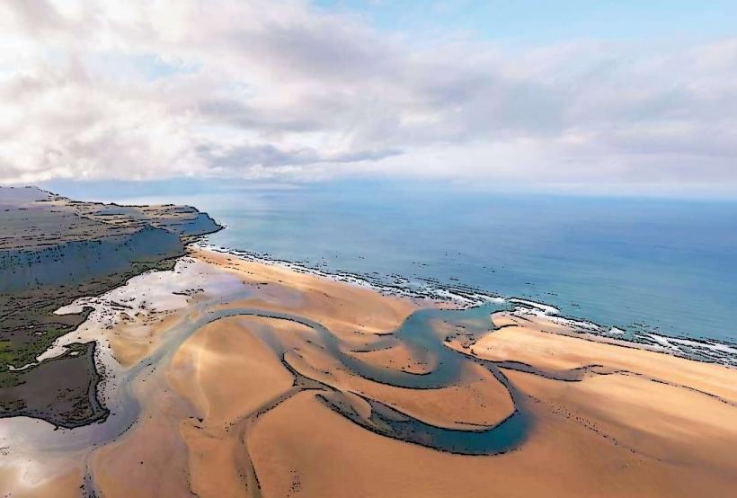
The Vatnsfjörður Nature Reserve is a protected area located on the southern coast of the Westfjords peninsula in Iceland. It encompasses a fjord, surrounding mountains, and one of the largest birch woodlands in the region.
Visual Characteristics
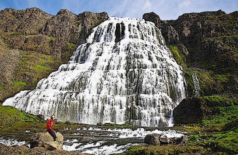
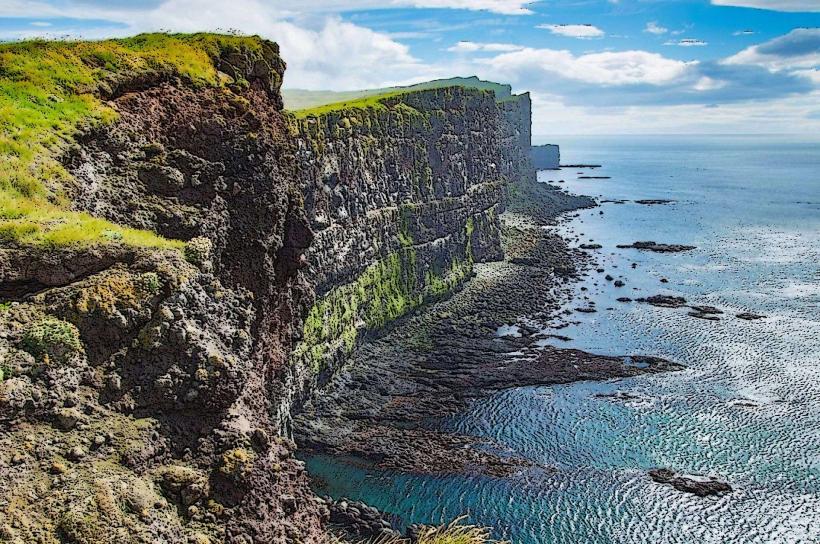
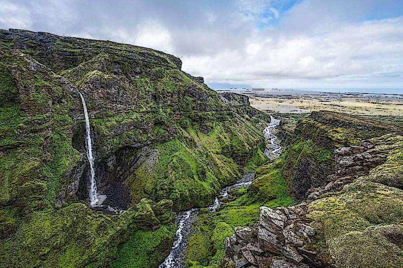
The reserve features a deep fjord bordered by steep, treeless mountains that rise directly from the water. Extensive birch forests cover the lower slopes and valleys, interspersed with heathland and wetlands. The coastline consists of rocky shores and small gravel beaches. Fjord waters are typically clear, reflecting the sky and surrounding geology.
Location & Access Logistics
The reserve is situated along Route 62 (Barðastrandarvegur), approximately 1 kilometer east of the settlement of Flókalundur. Access is primarily by private vehicle. Route 62 connects to Route 60 (Vestfjarðavegur), the main road through the Westfjords. Designated parking areas are available near the Flókalundur guesthouse and at various trailheads within the reserve. Public transportation services do not operate directly to the reserve; the nearest ferry terminal is Brjánslækur, located approximately 15 kilometers west, serving the Baldur ferry from Stykkishólmur.
Historical & Ecological Origin
Established as a nature reserve in 1975, Vatnsfjörður is ecologically significant for its extensive birch woodlands, which are remnants of Iceland's original forest cover. The area is a vital breeding ground for numerous bird species, including the Arctic Tern and Eider duck. Historically, Vatnsfjörður is mentioned in the Icelandic Sagas, particularly the Landnámabók (Book of Settlements), as the alleged landing site of Hrafna-Flóki Vilgerðarson, one of the first Norsemen to attempt settlement in Iceland.
Key Highlights & Activities
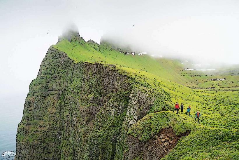
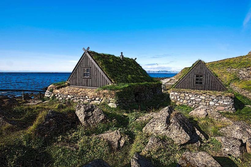
Marked hiking trails traverse the birch forests and coastal areas, offering opportunities for exploration. Bird watching is a primary activity, particularly during the nesting season from May to July. Camping is available at the designated site near Flókalundur. Visitors can also explore historical sites, including the ruins of old farmsteads and a church.
Infrastructure & Amenities
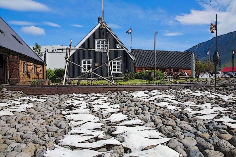
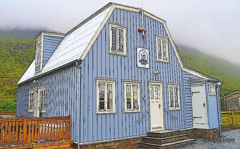
Basic facilities are available at the Flókalundur camping ground, including restrooms and cold water. Marked hiking trails are present with some informational signage. Shade is provided by the birch trees in forested areas. Cell phone signal (4G) can be intermittent, particularly in deeper valleys. A small guesthouse at Flókalundur offers limited food and beverage options; no dedicated food vendors operate within the reserve itself.
Best Time to Visit
The months of June, July, and August offer the mildest weather conditions and longest daylight hours, making them optimal for hiking and birdwatching. Peak bird nesting season occurs from late June to early July. For photography, the extended daylight of the summer months provides soft, low-angle light during early morning and late evening hours.
Facts & Legends
Vatnsfjörður holds historical significance as the location where Hrafna-Flóki Vilgerðarson, the Norse explorer, spent a winter and subsequently named the island "Iceland" after observing ice in the fjord. A specific tip for visitors is to maintain distance from nesting bird colonies, especially Eider ducks, to avoid disturbance.
Nearby Landmarks
- Flókalundur Guesthouse & Camping: 1 km West
- Vatnsfjörður Church Site (Ruins): 2 km East
- Hrafna-Flóki's Landing Site (Historical Marker): 0.5 km North