Information
Landmark: Nasese WaterfrontCity: Suva
Country: Fiji
Continent: Australia
Nasese Waterfront, Suva, Fiji, Australia
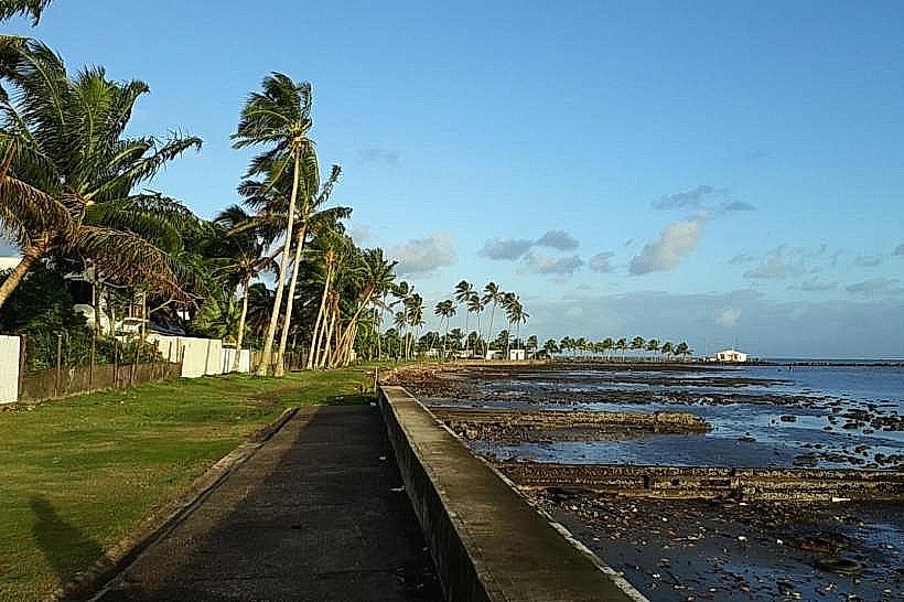
The Nasese Waterfront is a coastal recreational corridor extending along the southern edge of the Suva peninsula. It consists of a long seawall and a parallel pedestrian walkway that follows the curvature of the shoreline from the city center toward Suva Point.
Visual Characteristics
The waterfront is defined by a low concrete seawall constructed to prevent coastal erosion. To the seaward side, the environment consists of shallow mudflats, seagrass beds, and occasional mangrove clusters that become exposed at low tide. The landward side features wide, grassy verges and a paved asphalt path used for walking and cycling. The water in this area is generally silty and dark due to the volcanic nature of the sediment along the Suva coast.
Location & Access Logistics
The waterfront follows Queen Elizabeth Drive, starting approximately 1.5 kilometers south of the Suva CBD. It is easily accessible via the Nasese bus route, with multiple stops located along the length of the seawall. Taxi fares from the city center to various points along the waterfront typically range from FJD 3 to FJD 7. Pedestrians can access the path from Albert Park by heading south toward the coast.
Historical & Ecological Origin
The Nasese area was largely reclaimed or stabilized during the colonial era to facilitate the construction of government residences and military facilities. The seawall itself has undergone numerous reinforcements to protect the critical infrastructure of Queen Elizabeth Drive from storm surges and rising sea levels. The intertidal mudflats serve as a significant ecological habitat for migratory shorebirds and local marine invertebrates.
Key Highlights & Activities
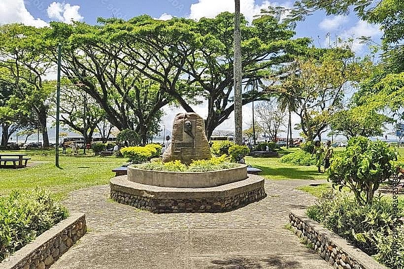
The primary activities are jogging, power walking, and cycling along the paved walkway. The waterfront is a designated site for outdoor exercise and features several sets of fixed outdoor gym equipment. At low tide, locals engage in gleaning for edible mollusks on the mudflats. It is a major location for viewing the sunset over the western mountains of Viti Levu.
Infrastructure & Amenities
Public restrooms and changing facilities are located at the My Suva Picnic Park, situated near the southern end of the waterfront. The path is illuminated by solar-powered streetlights for evening use. There are numerous concrete benches and small wooden gazebos providing shade and seating. Cellular coverage is consistently strong with 5G availability. Mobile food vendors frequently park along the drive during the late afternoon and weekends.
Best Time to Visit
The waterfront is most popular during the "cool" hours of 05:00 to 07:00 and 17:00 to 19:00. Late afternoon is the best time for photography to capture the silhouette of the mountains against the harbor. Low tide is necessary for birdwatching on the mudflats. The dry season (May–October) is the most suitable for outdoor exercise due to lower humidity and reduced rainfall.
Facts & Legends
The Nasese Waterfront is the site of the annual "Suva Marathon" and various charity walks. A local historical oddity is the presence of several old, decommissioned cannons along the drive, remnants of the coastal battery that protected Suva Harbour during the mid-20th century. During extreme high tides or storm surges, waves frequently crest the seawall, a phenomenon that has become more frequent in recent decades.
Nearby Landmarks
My Suva Picnic Park: 0.5km South
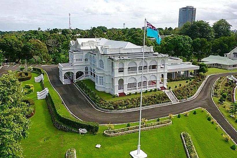
Government House: 0.3km North
Corpus Christi Teachers College: 0.4km East
Suva Point: 2.0km South
Albert Park: 1.5km Northwest