Information
Landmark: Suva PointCity: Suva
Country: Fiji
Continent: Australia
Suva Point, Suva, Fiji, Australia
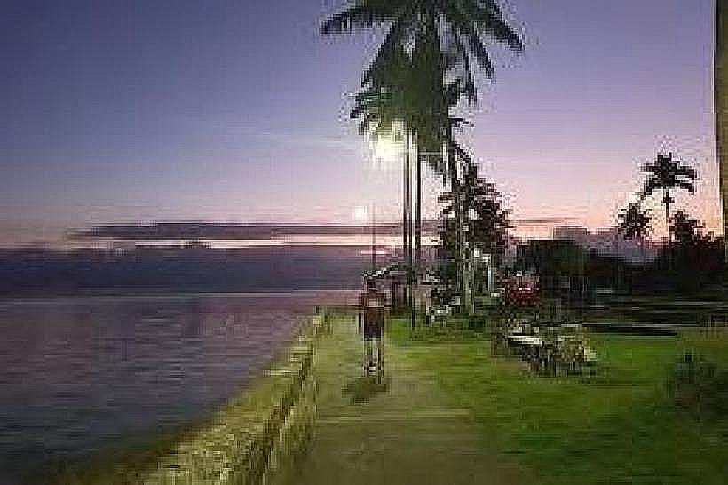
Suva Point is a coastal headland located at the southernmost tip of the Suva peninsula, marking the transition between Laucala Bay and the Suva Harbour entrance. The area serves as a critical residential and recreational zone, characterized by its long seawall and views of the surrounding reef and Nukulau Island.
Visual Characteristics
The shoreline features a concrete seawall that protects a narrow strip of dark, volcanic sand and silt. At low tide, extensive mudflats and seagrass beds are exposed, extending several hundred meters into Laucala Bay. The adjacent land is flat and grassy, populated by mangroves and salt-resistant shrubs. The water is generally shallow and calm, influenced by the protective outer reefs that break the Pacific swells.
Location & Access Logistics
The point is situated at the terminus of Laucala Bay Road and Queen Elizabeth Drive, approximately 4 kilometers southeast of the Suva city center. It is accessible via the Suva-Nasese bus route, which runs along the scenic coastal road. Pedestrians and cyclists utilize the paved pathway that parallels the seawall. On-site parking consists of several gravel pull-off areas and paved shoulders along Queen Elizabeth Drive.
Historical & Ecological Origin
Geologically, Suva Point sits on uplifted reef limestone and volcanic sedimentary rock. Historically, the area was utilized by the military during World War II for coastal defense due to its strategic vantage point over the bay. It has since transitioned into a high-end residential district and a public recreational space. The mangroves at the eastern edge are part of a remnant coastal ecosystem that provides a nursery for local fish species.
Key Highlights & Activities
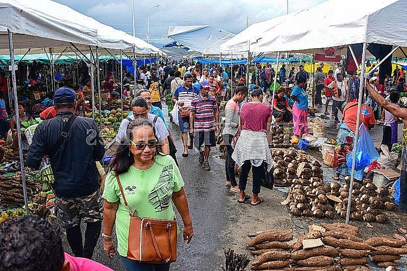
The most frequent activity is walking or jogging along the 5-kilometer seawall path that connects Suva Point to the city center. The mudflats are used by locals for subsistence gleaning of shellfish at low tide. Kitesurfing and windsurfing occur during periods of strong southeasterly trade winds. The area is a primary location for observing the sunset over the Suva Harbour.
Infrastructure & Amenities
The seawall area provides several concrete benches and basic street lighting for evening use. Public restrooms are located 1.2 kilometers north at the My Suva Picnic Park. There are no permanent food vendors at the point itself, but mobile canteen trucks frequently park along Queen Elizabeth Drive during weekends. Cellular signal is excellent with full 5G coverage from national providers.
Best Time to Visit
The best time for photography is during the "golden hour" before sunset, as the light aligns with the harbor entrance to the west. Low tide is required for those wishing to explore the mudflats or observe wading birds. The area is most popular on Sunday afternoons when local families congregate for recreation. The dry season (May–October) offers the lowest humidity for outdoor exercise.
Facts & Legends
Suva Point is a noted site for birdwatching, specifically for migratory waders that travel from the northern hemisphere. A local historical oddity is the presence of submerged structural remains from wartime coastal fortifications, some of which are visible only at extremely low tides. The point also marks the start of the traditional sailing route across Laucala Bay to the sandbanks of Nukulau.
Nearby Landmarks
My Suva Picnic Park: 1.1km North
University of the South Pacific (Laucala Campus): 2.5km North
Damodar City Centre: 2.8km North
Fiji Golf Club: 3.2km Northeast
Nukulau Island: 4.5km Southeast (via boat)