Information
Landmark: Otago HarbourCity: Dunedin
Country: New Zealand
Continent: Australia
Otago Harbour, Dunedin, New Zealand, Australia
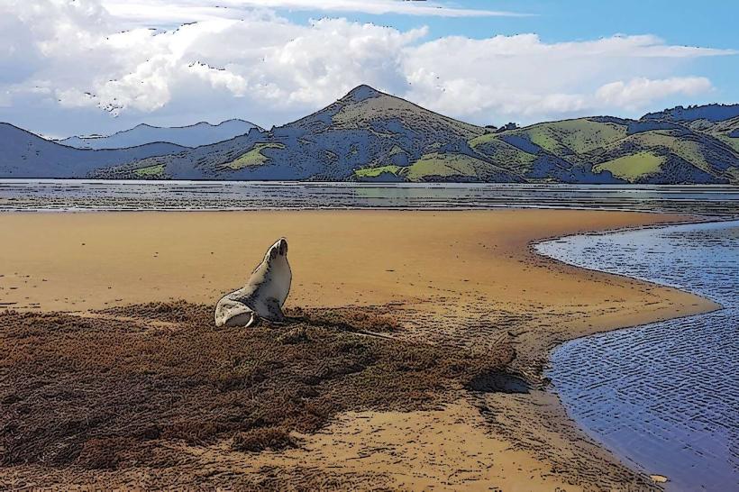
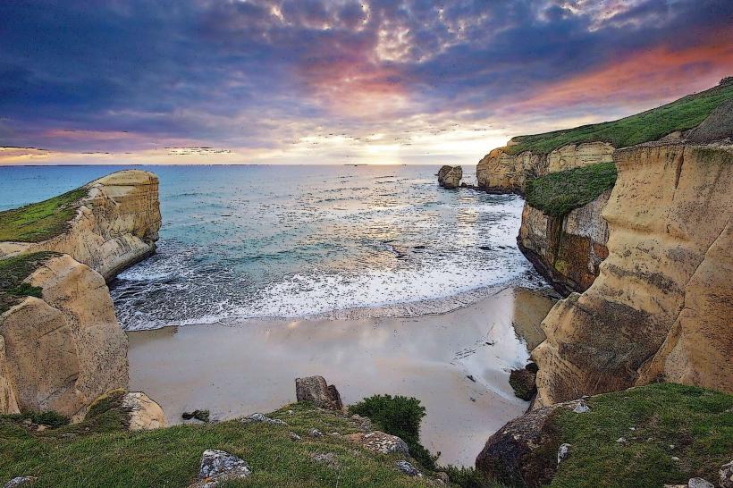
Otago Harbour is a large natural harbour located on the southeast coast of the South Island of New Zealand, adjacent to the city of Dunedin.
It is a significant marine ecosystem and a key entry point for the region.
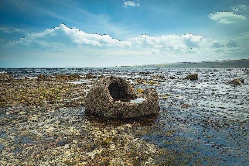
Visual Characteristics
The harbour is characterized by its deep, sheltered waters, with steep, bush-clad hills rising on either side. The water color varies from deep blue to grey depending on weather conditions and sediment load. The shoreline consists of a mix of rocky outcrops, sandy beaches, and mudflats, particularly in the upper reaches. Vegetation is dense on the surrounding slopes, primarily native forest and introduced pines.
Location & Access Logistics
Otago Harbour is situated approximately 30 kilometers east of Dunedin's central business district. Access is primarily via State Highway 88 (Port Chalmers Road), which runs along the northern shore. Several local bus routes, including the #57 and #58, service the communities along the harbour. Parking is available in Port Chalmers and other smaller settlements, with limited capacity during peak times. Boat access is common, with marinas and public jetties present.
Historical & Ecological Origin
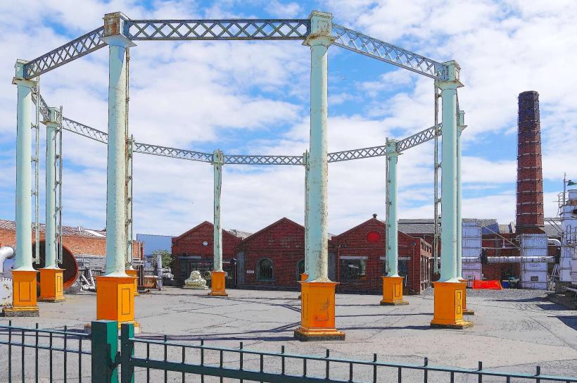
Otago Harbour is a drowned river valley, formed by glacial erosion and subsequent sea-level rise approximately 10,000 years ago. It is part of the larger Otago Peninsula, which is the eroded remnant of a large shield volcano. The harbour has been a significant site for Māori settlement for centuries, and later became a key port for European whalers, sealers, and settlers from the mid-19th century.
Key Highlights & Activities
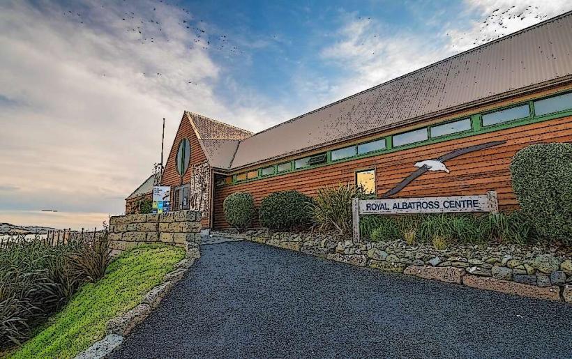
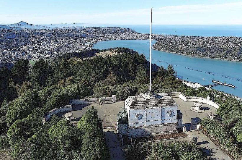
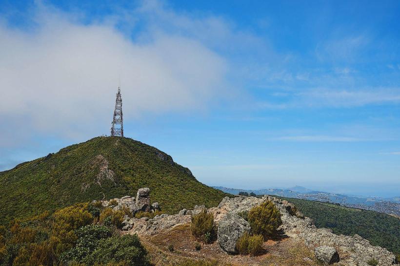
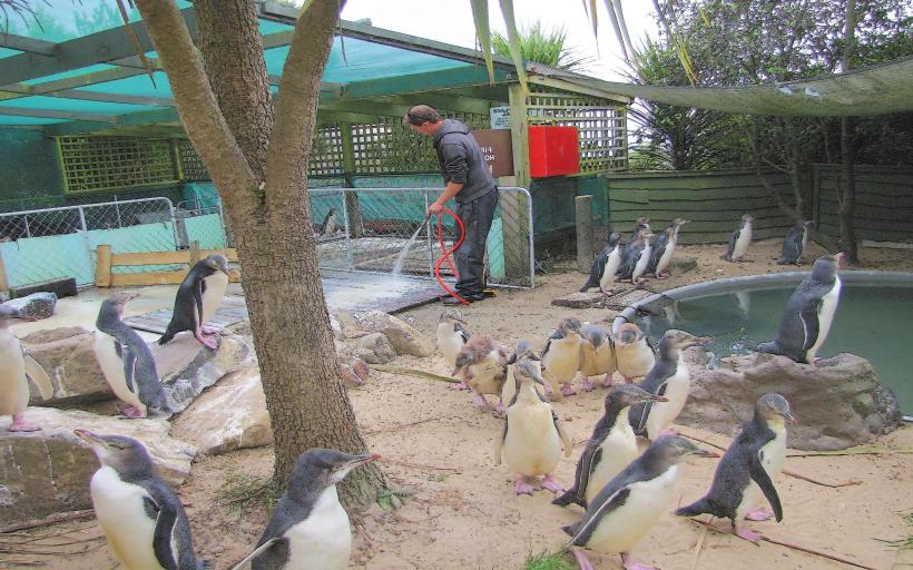
Activities include wildlife viewing (albatross, seals, penguins), kayaking, sailing, and fishing. Boat tours depart from Port Chalmers and Dunedin for harbour exploration and wildlife spotting. Hiking trails are present on the surrounding hills, offering elevated views of the harbour. The Otago Harbour entrance is a significant shipping channel.
Infrastructure & Amenities
Restrooms are available in Port Chalmers and other populated areas along the harbour. Shade is provided by natural vegetation on the hillsides and some picnic areas. Cell phone signal (4G/5G) is generally good along the main road and in settlements, but can be intermittent in more remote sections. Food vendors and cafes are located in Port Chalmers and Dunedin.
Best Time to Visit
For wildlife viewing, early morning and late afternoon offer the best opportunities. The months of December to February provide the warmest weather. High tide is generally preferable for deeper water activities and boat access. Lighting for photography is optimal during the golden hours of sunrise and sunset.
Facts & Legends
A notable historical oddity is the construction of the Taiaroa Head Lighthouse, which was automated in 1980, making it one of the last manned lighthouses in New Zealand to be decommissioned. Local Māori legends speak of the harbour being formed by the actions of ancient gods.
Nearby Landmarks
- Taiaroa Head (15km East)
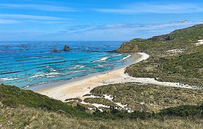
- Sandfly Bay (8km South)
- St Clair Beach (12km Southwest)
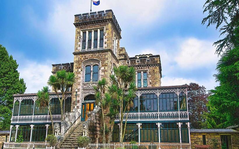
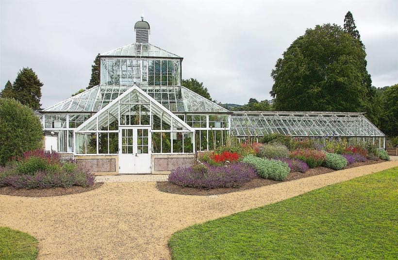
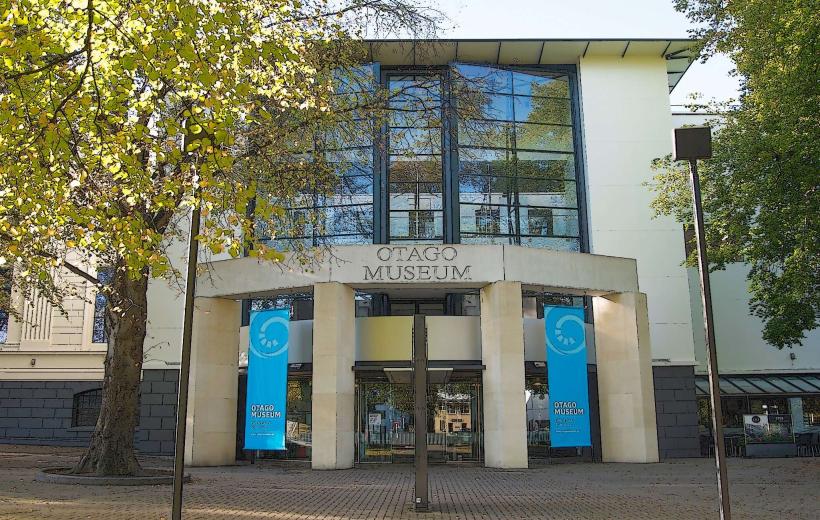
- Otago Museum (10km West)
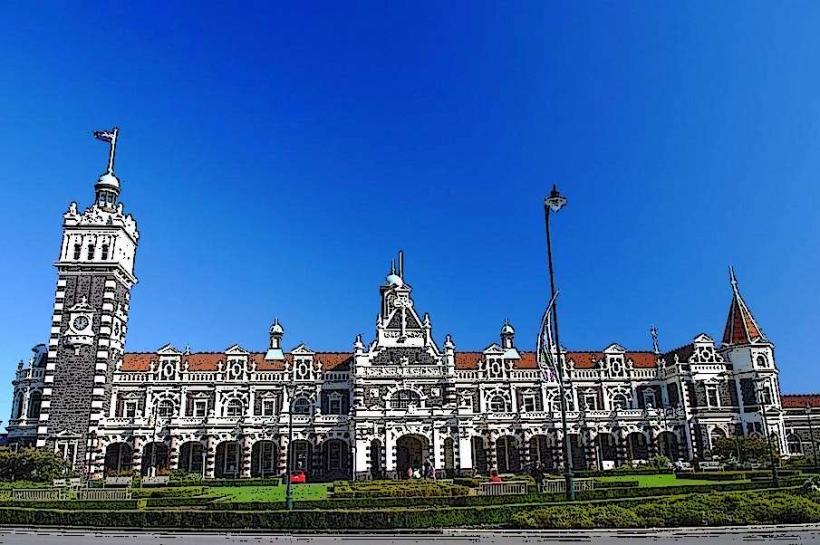
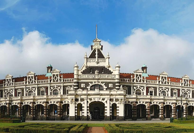
- Dunedin Railway Station (11km West)