Information
Landmark: Paro Airport ViewpointCity: Paro
Country: Bhutan
Continent: Asia
Paro Airport Viewpoint, Paro, Bhutan, Asia
Paro Airport Viewpoint is a designated observation area located in Paro, Bhutan, offering a specific vantage point for observing aircraft operations at Paro International Airport.
Visual Characteristics
The viewpoint is an elevated platform constructed from concrete and reinforced with metal railings. It is approximately 3 meters high and 10 meters long. The surface is paved with grey concrete. Surrounding the platform are low-lying shrubs and sparse pine trees. The primary visual element is the runway and terminal building of Paro International Airport, situated in the valley below.
Location & Access Logistics
The viewpoint is situated approximately 2 kilometers east of Paro town center. Access is via the Airport Road (DR1) for approximately 1.5 kilometers, then turning onto a smaller, unpaved access track for the final 0.5 kilometers. Parking is available for approximately 10 vehicles on a gravel area adjacent to the viewpoint. No public transport directly serves the viewpoint; taxis from Paro town are the primary mode of access.
Historical & Ecological Origin
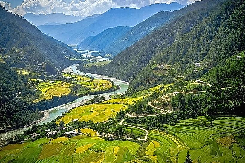
The viewpoint was established in the early 2000s by the Bhutanese Department of Civil Aviation to facilitate aircraft spotting and provide a safe observation area. The surrounding landscape is characterized by a river valley, formed by glacial erosion over millennia, with slopes covered in temperate forest vegetation.
Key Highlights & Activities
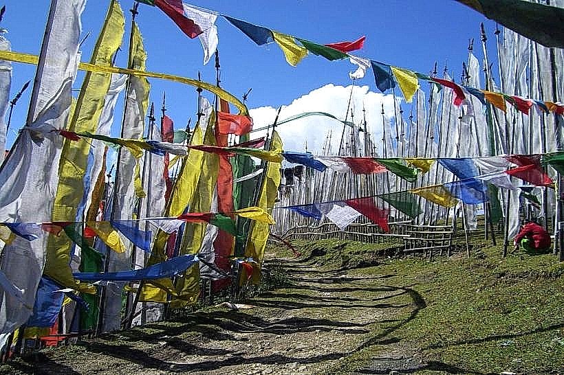
Observation of aircraft landings and takeoffs at Paro International Airport. Photography of aviation activities. Birdwatching in the surrounding scrubland.
Infrastructure & Amenities
The viewpoint has a concrete platform and metal railings. There are no restrooms, shade structures, or food vendors at the immediate site. Cell phone signal (4G) is generally available.
Best Time to Visit
For photography, the best time is between 10:00 AM and 2:00 PM when the sun is positioned to illuminate the runway and aircraft. The months of March to May and September to November offer the most stable weather conditions with clear skies.
Facts & Legends
Paro International Airport is one of the few airports in the world with a challenging approach, requiring pilots to navigate through mountainous terrain. The airport's runway is only 1,981 meters long, necessitating precise piloting skills.
Nearby Landmarks
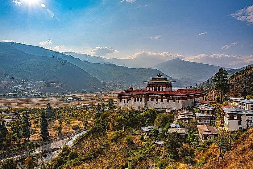
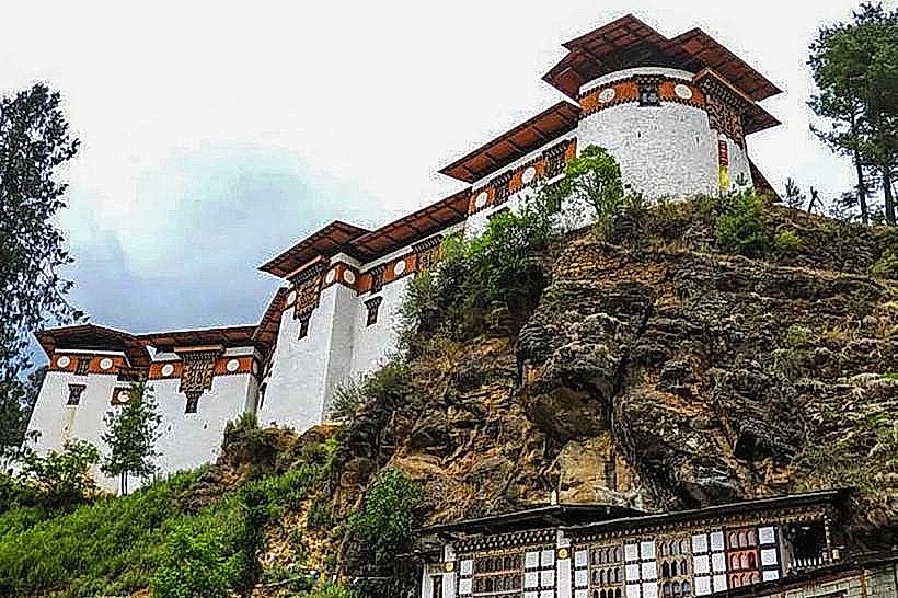
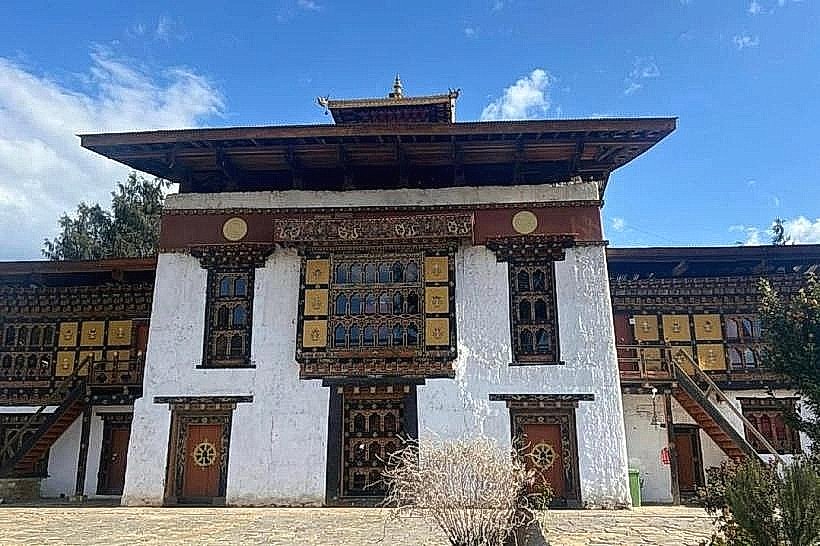
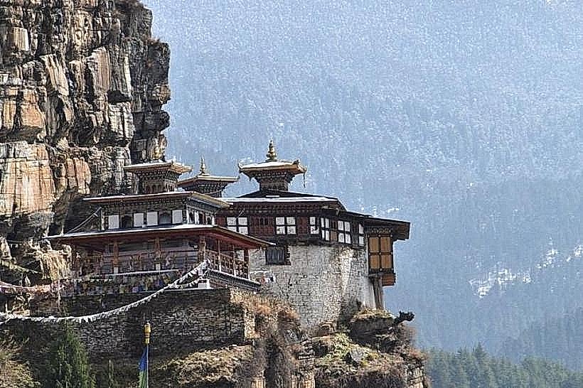
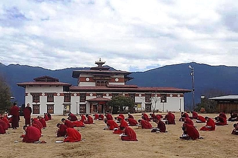
- Paro Dzong (Rinpung Dzong): 2.5km West
- National Museum of Bhutan: 2.8km West
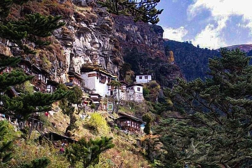
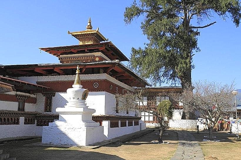
- Kyichu Lhakhang: 5km Northeast
- Tashichho Dzong (Thimphu): 45km Southeast (outside 5km radius, but significant)