Information
Landmark: Parque Nacional CotapataCity: La Paz
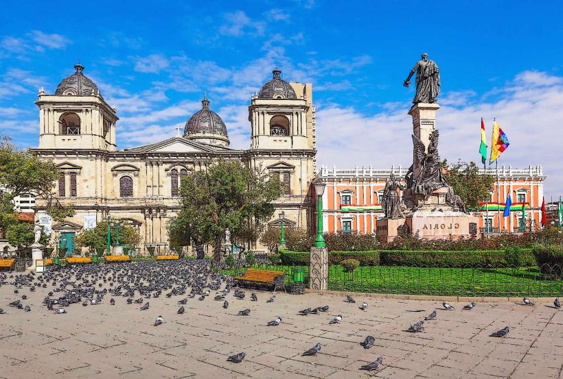
Country: Bolivia
Continent: South America
Parque Nacional Cotapata, La Paz, Bolivia, South America
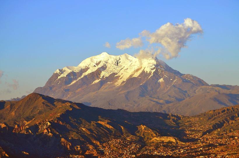
Parque Nacional Cotapata is a protected area located in the Yungas region of Bolivia, northwest of La Paz.
This national park encompasses a significant portion of the Andean mountain range and its transition into the Amazon basin.
Visual Characteristics
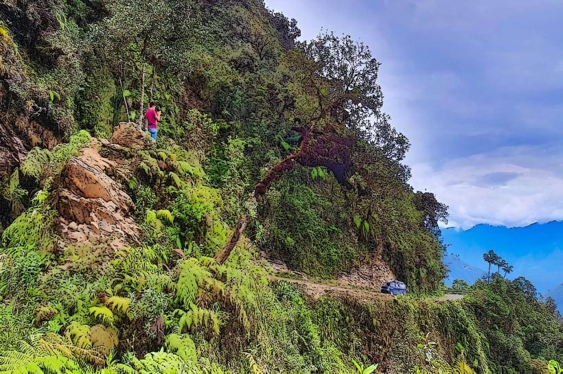
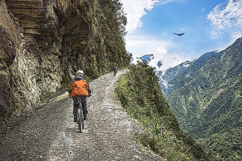
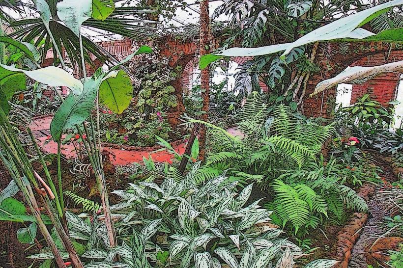
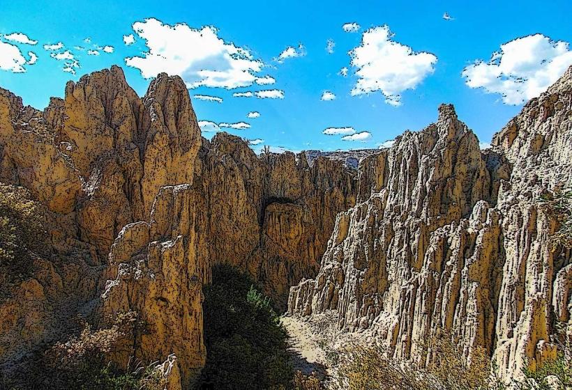
The park features steep mountain slopes covered in dense cloud forest vegetation. Elevations range from approximately 1,200 meters (3,900 ft) to over 4,700 meters (15,400 ft). The terrain is characterized by deep ravines, waterfalls, and rocky outcrops. Vegetation includes a high diversity of trees, ferns, and orchids, with mosses and lichens prevalent at higher altitudes.
Location & Access Logistics
The park is situated approximately 50 kilometers northwest of La Paz. Access is primarily via the La Paz-Coroico road (Ruta 3). The main entrance is near the town of Unduavi. Public transport options include shared taxis and buses traveling towards Coroico from La Paz's main bus terminal. Parking is available at designated points along the road, particularly near trailheads and ranger stations. Some areas require 4x4 vehicle access due to road conditions.
Historical & Ecological Origin
Parque Nacional Cotapata was established on April 9, 1993, to protect the diverse ecosystems and natural resources of the region. Ecologically, it represents a critical transition zone between the Altiplano and the Amazon, supporting a wide array of endemic species adapted to varying altitudes and humidity levels. The area has historically been used by indigenous communities for agriculture and resource extraction.
Key Highlights & Activities
Hiking is a primary activity, with trails such as the "El Choro" trek, a pre-Columbian path connecting the highlands to the Yungas. Birdwatching is significant due to the high biodiversity. Wildlife observation, including monkeys and various bird species, is possible. Photography opportunities exist for the varied landscapes and flora.
Infrastructure & Amenities
Basic infrastructure includes marked trails, some ranger stations, and limited signage. Restrooms are available at some entry points and ranger stations. Shade is abundant within the forest areas. Cell phone signal is intermittent and generally unavailable in remote sections of the park. Food vendors are typically found in nearby towns like Unduavi, rather than within the park itself.
Best Time to Visit
The dry season, from May to October, offers more stable weather conditions for hiking. The wet season (November to April) brings increased rainfall, which can make trails slippery and impact visibility. For photography, early morning and late afternoon provide optimal lighting conditions due to the angle of the sun and potential for mist in the cloud forest.
Facts & Legends
The "El Choro" trail, a significant part of the park, is believed to have been used by the Inca Empire for communication and troop movement. Local folklore speaks of guardian spirits protecting the ancient paths and sacred natural sites within the park.
Nearby Landmarks
- Coroico (10km Northeast)
- Yolosa (8km Northeast)
- Serranía de los Frailes (15km Southwest)
- Valle de las Ánimas (25km West)