Information
Landmark: Yungas RoadCity: La Paz
Country: Bolivia
Continent: South America
Yungas Road, La Paz, Bolivia, South America
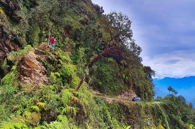
Yungas Road is a 64-kilometer (40 mi) road in Bolivia that connects the Amazon rainforest with the Andes mountains. It is located in the La Paz Department.
Visual Characteristics
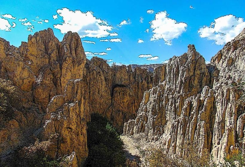
The road is primarily unpaved, consisting of compacted earth and gravel. It features steep inclines and sharp turns, with sections carved directly into cliff faces. The elevation changes dramatically, transitioning from high-altitude Andean terrain to dense cloud forest vegetation. The road's width varies, often accommodating only a single vehicle at a time.
Location & Access Logistics
Yungas Road begins approximately 20 kilometers northeast of La Paz. Access is typically via the highway connecting La Paz to the town of Coroico. Private vehicles and organized tour buses are the primary means of transport. Public transport options are limited and often involve multiple transfers. Parking is generally available at designated viewpoints and at the terminus in Coroico, though it can be scarce in certain sections.
Historical & Ecological Origin
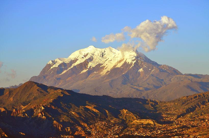
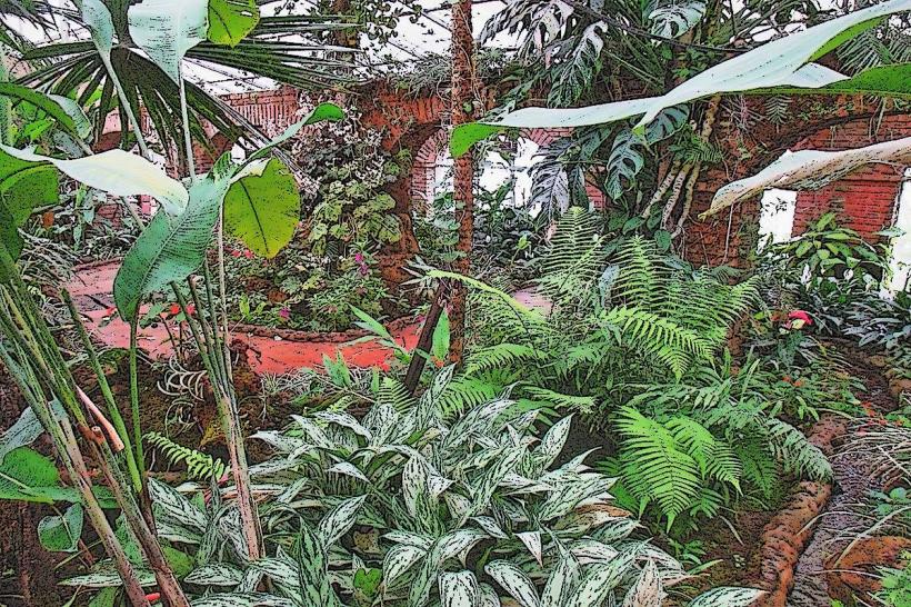
Construction of Yungas Road began in the 1930s, undertaken by Paraguayan prisoners of war during the Chaco War. Its original purpose was to establish a direct route connecting the agricultural region of the Yungas to the capital city, La Paz, facilitating trade and transport. Ecologically, the road traverses the transition zone between the Altiplano and the Amazon basin, supporting a diverse range of flora and fauna characteristic of cloud forest ecosystems.
Key Highlights & Activities
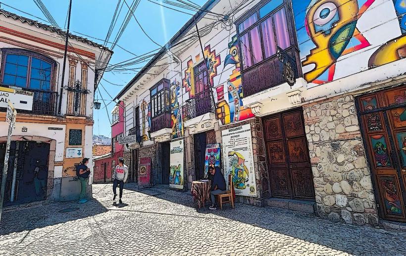
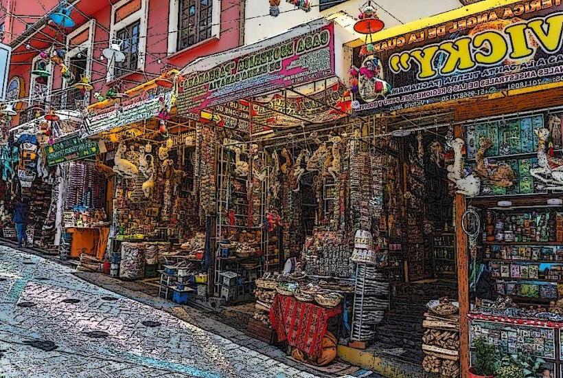
Activities include driving or cycling the road, with specific sections designated for downhill cycling tours. Observation points offer views of the changing landscape. Hiking trails are present in some areas adjacent to the road. The town of Coroico at the road's end provides accommodation and local markets.
Infrastructure & Amenities
Restroom facilities are minimal and primarily located in Coroico and at a few designated rest stops. Shade is provided by the dense forest canopy in many sections. Cell phone signal is intermittent and unreliable along most of the road. Food vendors are present in Coroico and at some popular viewpoints.
Best Time to Visit
The dry season, from May to October, is recommended for travel due to reduced rainfall and fewer landslides. Mid-morning offers optimal lighting for photography as the sun rises higher. High tide is not a relevant factor for this land-based landmark.
Facts & Legends
Yungas Road is infamously known as the "Death Road" due to its high accident rate, attributed to its narrowness, steep drops, and frequent fog. A specific tip for visitors is to travel with experienced local guides who are familiar with the road's conditions and traffic patterns.
Nearby Landmarks
- Coroico (Town) - 0km East
- Unduavi Waterfall - 15km West
- Serranía de Bellavista - 10km Southwest
- Yolosa Village - 5km East