Information
City: La PazCountry: Bolivia
Continent: South America
La Paz, Bolivia, South America
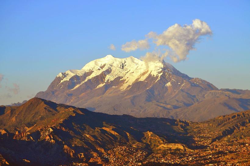
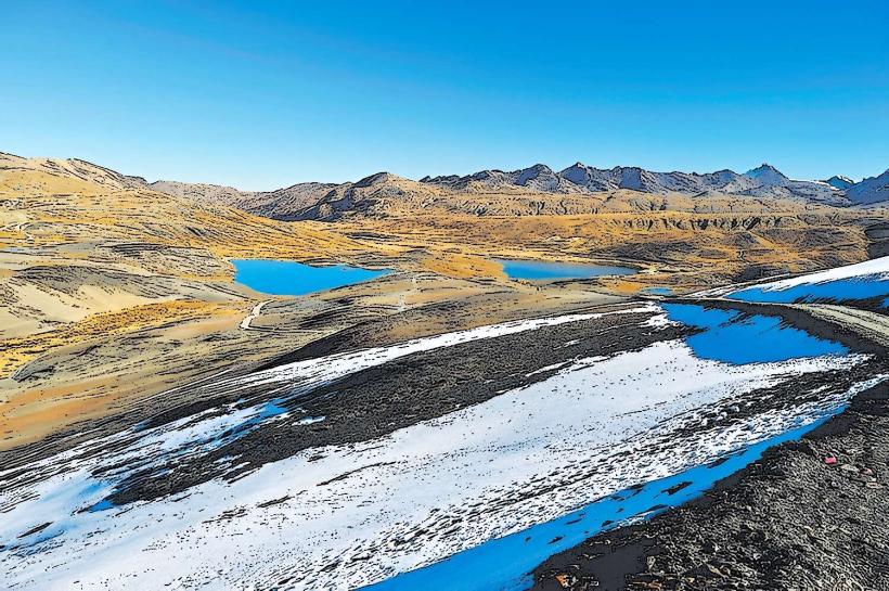
La Paz serves as the administrative capital of Bolivia and the seat of its national government. It is globally recognized as the highest administrative capital, situated in a canyon of the Andes’ Altiplano plateau at an elevation ranging from 3,200m to 4,100m.
Historical Timeline
The city was founded on October 20, 1548, by Spanish conquistador Alonso de Mendoza at Laja, then moved to its current location in the Chuquiago Marka valley. It served as a critical hub on the trade route between Potosí and Lima. In 1898, following the Federal War, La Paz became the de facto seat of government, while Sucre remained the constitutional capital. The most significant modern reconstruction occurred in the early 21st century with the massive expansion of the cable car network, which redefined the city’s vertical mobility.
Demographics & Population
The estimated metro area population for 2026 is 2,031,000, showing a steady annual growth of approximately 1.7%. The population is highly multiethnic, with roughly 70% identifying as indigenous (primarily Aymara and Quechua). The median age is approximately 26 years.
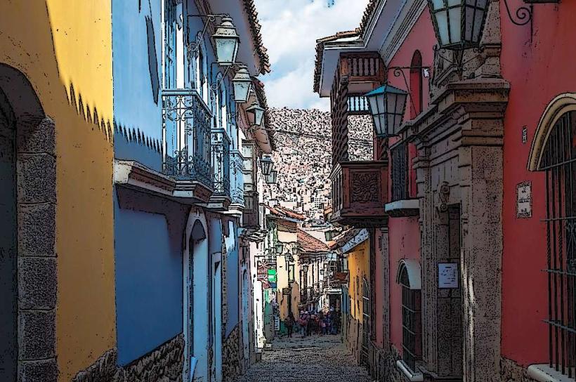
Urban Layout & Key Districts
The city's layout is determined by its steep topography; lower elevations generally correlate with higher socio-economic status.
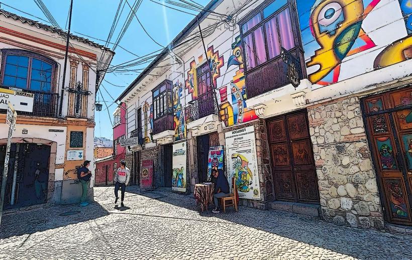
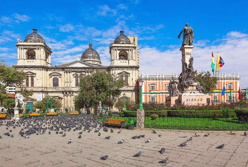
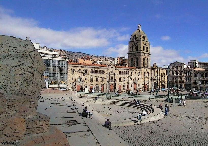
Casco Viejo (Historic Center): The colonial heart, containing Plaza Murillo and the main government buildings.
Sopocachi: A bohemian and residential district known for its nightlife, embassies, and cultural centers.
Zona Sur (Southern Zone): The lowest and most affluent part of the city (approx. 3,200m), housing high-end malls and residential towers.
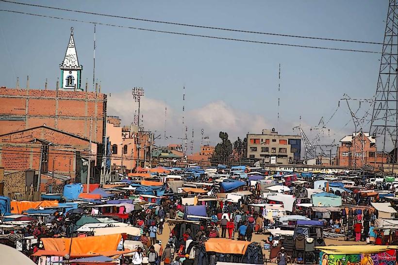
El Alto: While technically a separate city, this sprawling highland plateau (4,000m+) is functionally integrated with La Paz.
Top City Landmarks
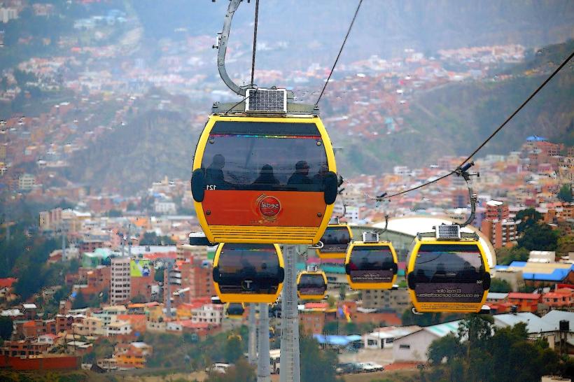
Mi Teleférico: The world’s longest and highest urban cable car system.
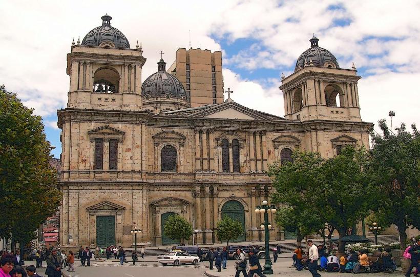
Plaza Murillo: The central plaza housing the Presidential Palace and National Congress.
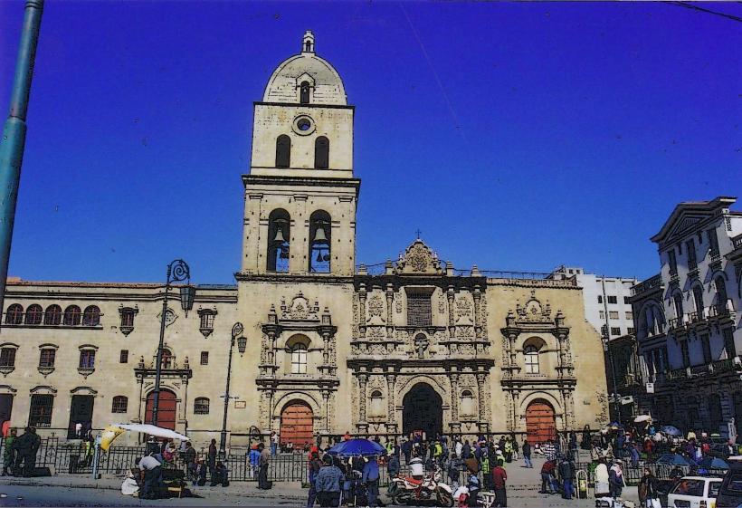
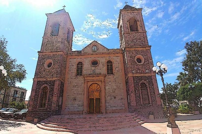
Basílica de San Francisco: A 16th-century church featuring unique "Baroque-Mestizo" architecture.
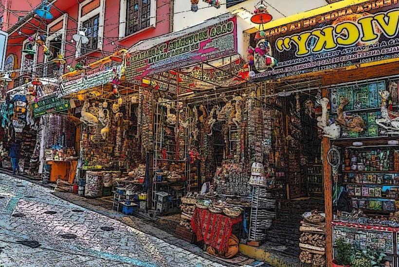
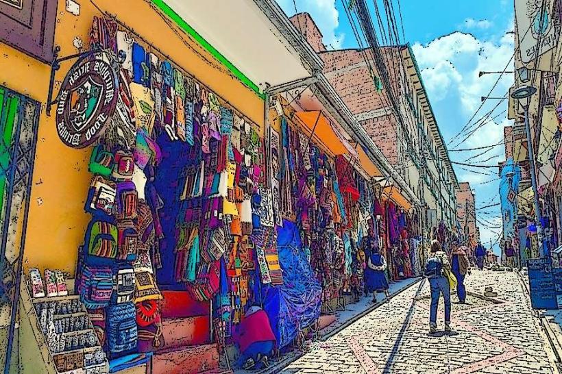
The Witches' Market (Mercado de las Brujas): Famous for traditional Aymara herbal medicine and ritual items.
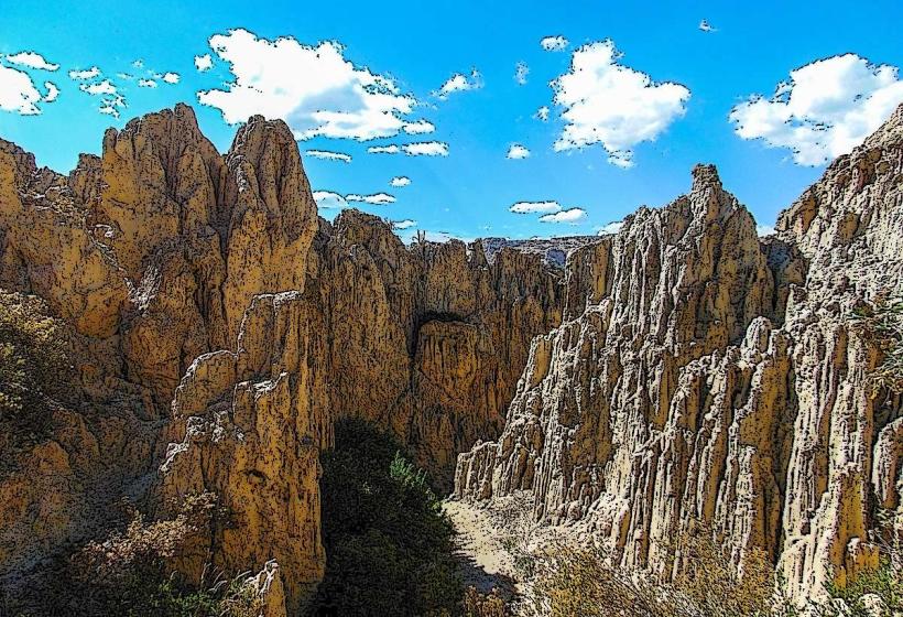
Valle de la Luna (Moon Valley): A surreal landscape of eroded clay spires on the outskirts of the city.
Transportation Network
La Paz lacks a metro system but is world-renowned for Mi Teleférico, a network of 10+ cable car lines that connect the canyon floor to the highlands. The PumaKatari municipal bus system provides high-quality overland transit. Traditional minibuses and "trufis" (shared taxis) handle high-volume, informal routes. El Alto International Airport (LPB) is one of the highest in the world. Traffic density is extreme, particularly in the city center.
Safety & "Red Zones"
As of early 2026, a high degree of caution is advised due to the risk of civil unrest and petty crime.
Red Zones: Areas around the main bus terminal and the market districts in El Alto (especially at night) are noted for pickpocketing and "express kidnappings."
Protests: Road blockades are frequent and can cut off the city from major highways to Oruro or Copacabana with little notice.
Digital & Financial Infrastructure
Average internet speed is 40-60 Mbps in the city center and Zona Sur. Major carriers include Entel, Tigo, and Viva. In December 2025, Bolivia officially moved toward mainstreaming digital assets, increasing crypto-infrastructure. Card acceptance is high in Zona Sur and Sopocachi, but the city remains heavily cash-reliant in markets. ATMs are abundant in central districts.
Climate & Health Risk
The climate is alpine and dry. Altitude sickness (soroche) is a critical risk for new arrivals. Air quality can deteriorate during the dry season (June–August) due to forest fires in the lowlands. Temperatures range from 0°C at night to 15°C–20°C during the day.
Culture & Social Norms
Tipping: 10% is customary in tourist-oriented restaurants.
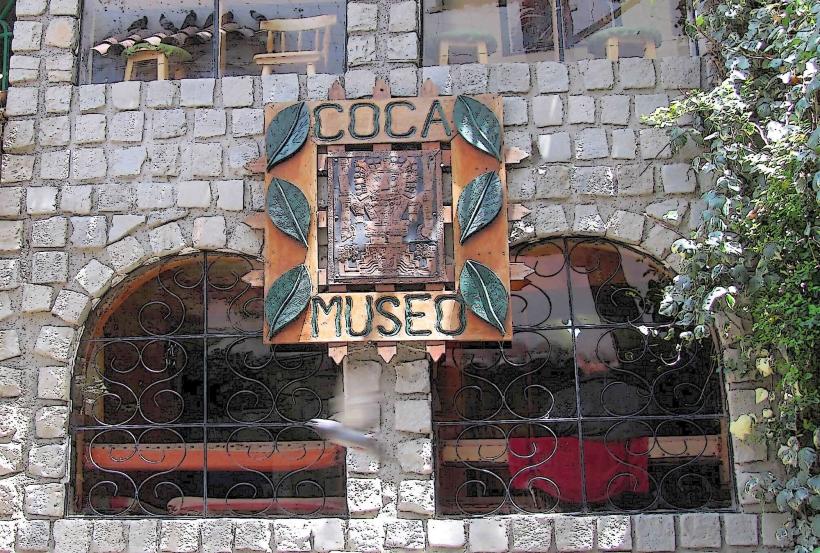
Social Norms: Polite greetings ("Buen día") are expected. Respect for indigenous traditions and the coca leaf is central to local life.
Legal: Legal bars close at 3:00 AM.
Accommodation Zones
Sopocachi: Best for a mix of safety, culture, and dining.
Zona Sur (Calacoto/Irpavi): Best for luxury, lower altitude (easier breathing), and high-end security.
Local Cost Index
1 Espresso: 15 BOB ($2.15 USD)
1 Standard Lunch (Almuerzo): 25–40 BOB ($3.60–$5.80 USD)
1 Cable Car Fare: 3 BOB ($0.45 USD)
Nearby Day Trips
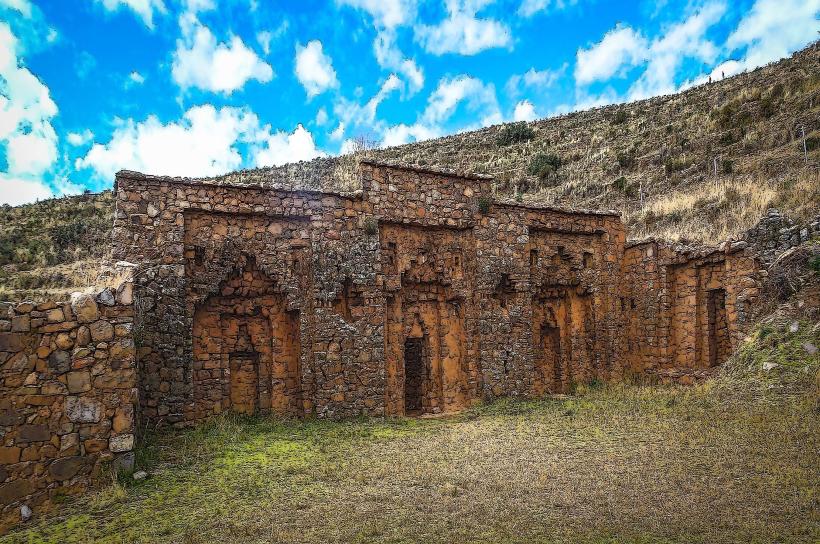
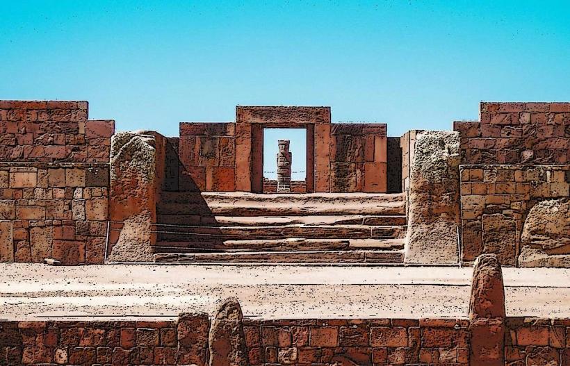
Tiwanaku: 70 km (UNESCO-listed pre-Columbian ruins).
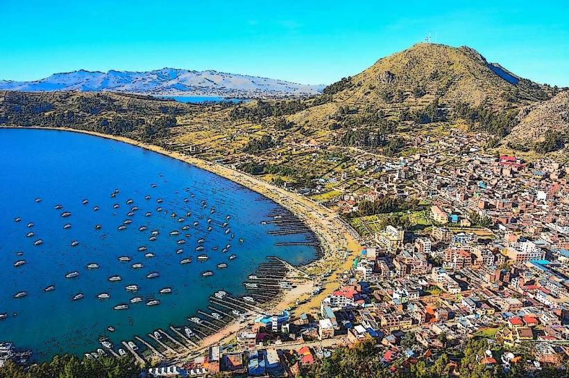
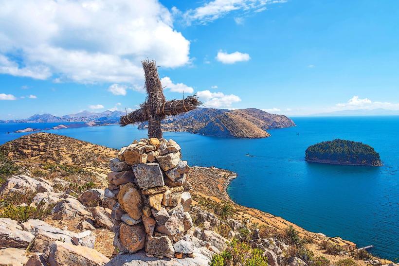
Lake Titicaca (Copacabana): 150 km (The highest navigable lake in the world).
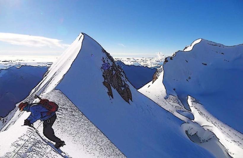
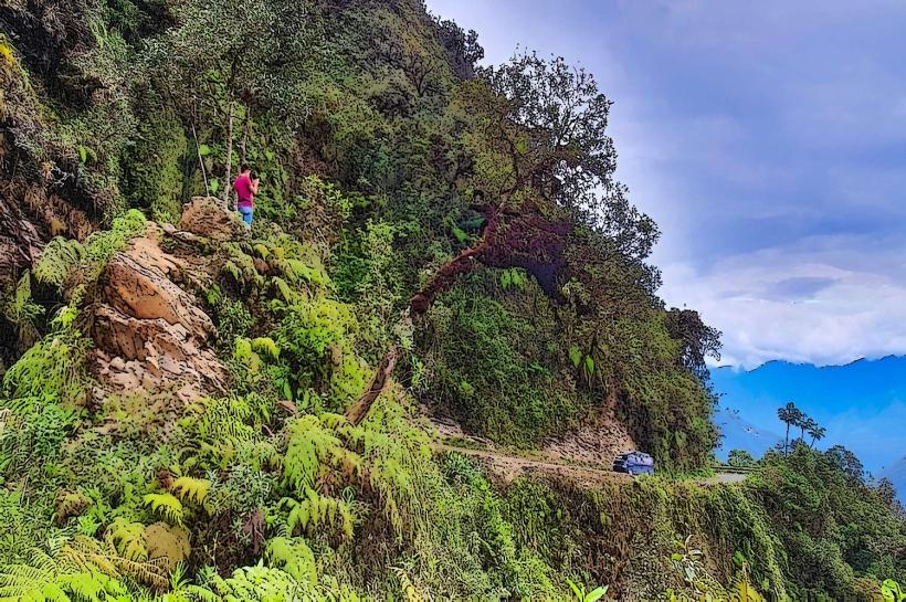
Huayna Potosí: 25 km (Popular 6,088m peak for mountaineering).