Information
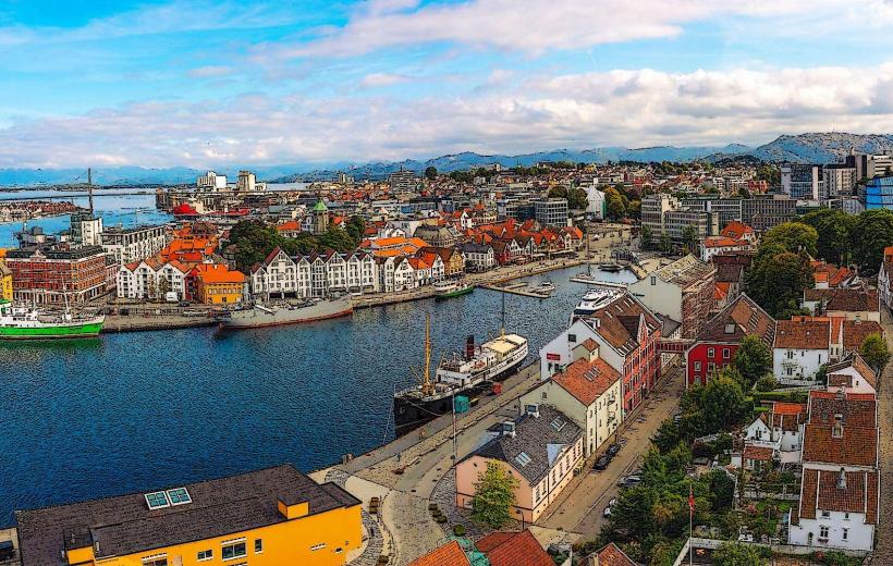
Landmark: Preikestolen (Pulpit Rock)City: Stavanger
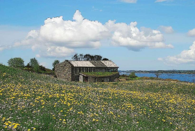
Country: Norway
Continent: Europe
Preikestolen (Pulpit Rock), Stavanger, Norway, Europe
Preikestolen, also known as Pulpit Rock, is a massive cliff formation located in Rogaland county, Norway, overlooking the Lysefjord. It is a prominent tourist attraction known for its flat top and dramatic vertical drop.
Visual Characteristics
Preikestolen is a large, rectangular granite rock formation with a relatively flat top measuring approximately 25 by 25 meters. The cliff face rises 604 meters directly above the Lysefjord. The rock is primarily light grey granite, exhibiting natural fractures and erosion patterns. Its distinctive shape is a result of glacial erosion during the last ice age.
Location & Access Logistics
Preikestolen is situated in Strand municipality, Rogaland, approximately 25 kilometers east of the city of Stavanger as the crow flies. Access typically involves a ferry from Stavanger (Lauvvik or Forsand) to Tau, followed by a bus connection to the Preikestolen trailhead (Preikestolen Fjellstue). Alternatively, a direct tourist ferry operates from Stavanger to Forsand during peak season, connecting with buses. Driving from Stavanger involves taking Rv13 to Tau, then following signs for Preikestolen. Parking is available at the Preikestolen Fjellstue trailhead for a fee. Public transport options include seasonal bus services from Tau ferry terminal directly to the trailhead.
Historical & Ecological Origin
Preikestolen is a natural geological formation, not man-made. Its origin is attributed to the expansion of ice during the last ice age, approximately 10,000 years ago. The edges of the glacier eroded the surrounding mountains, and water that froze in the mountain's crevices expanded, breaking off large, angular blocks of rock. The distinctive flat top was formed by the erosion of softer rock layers, leaving the harder granite exposed.
Key Highlights & Activities
The primary activity is hiking to the top of the cliff. The hike to Preikestolen is approximately 3.8 kilometers one way, with an elevation gain of about 500 meters, taking 2-3 hours per direction. Visitors can stand on the flat plateau and observe the panoramic views of the Lysefjord. Photography from the cliff edge is a popular activity. There are no guided tours on the rock itself, but organized transport and guided hikes are available from Stavanger.
Infrastructure & Amenities
At the Preikestolen Fjellstue (trailhead), there are restrooms, a restaurant, and accommodation options. Along the hiking trail, there are no permanent facilities. There is no shade on the open rock plateau. Cell phone signal (4G/5G) is generally available at the trailhead and intermittently along the trail, often strong at the top of Preikestolen. Food vendors are present at the trailhead, but not on the cliff itself; visitors must carry their own provisions for the hike.
Best Time to Visit
The best time to visit Preikestolen is during the late spring, summer, and early autumn months, specifically from May to October, when the trail is typically free of snow and ice. July and August offer the warmest weather. For photography, early morning or late afternoon provides softer light and fewer crowds. The visit is not dependent on high or low tide, as the cliff is significantly above the fjord.
Facts & Legends
A local legend suggests that the cliff will fall into the Lysefjord the day seven sisters marry seven brothers from the Lysefjord area. Geologists have observed a deep crack across the plateau, which is monitored for stability. A verified historical oddity is that the first tourist ascent was recorded in 1900 by Thomas Peter Randulff, a local entrepreneur who recognized its potential.
Nearby Landmarks
- Preikestolen Fjellstue (trailhead) - 0.1km South
- Lysefjord - Directly below (0km)
- Revsvatnet Lake - 0.5km West (visible from parts of the trail)