Information
Landmark: Vågen BayCity: Stavanger
Country: Norway
Continent: Europe
Vågen Bay, Stavanger, Norway, Europe
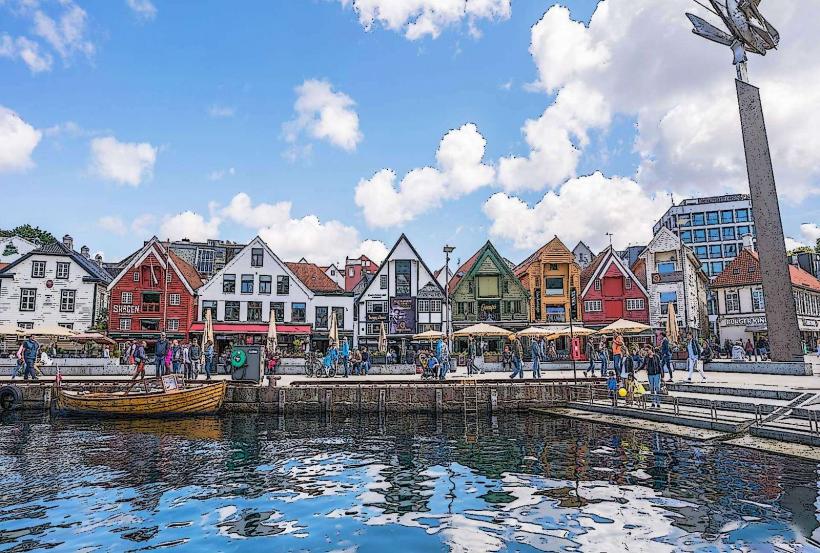
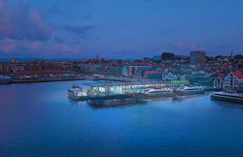
Vågen Bay is a natural harbor basin located in the heart of Stavanger, Norway. It functions as the city's primary waterfront, serving as a historical port and a central point for maritime and urban activities.
Visual Characteristics
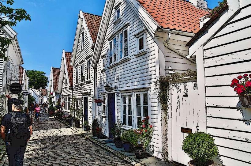
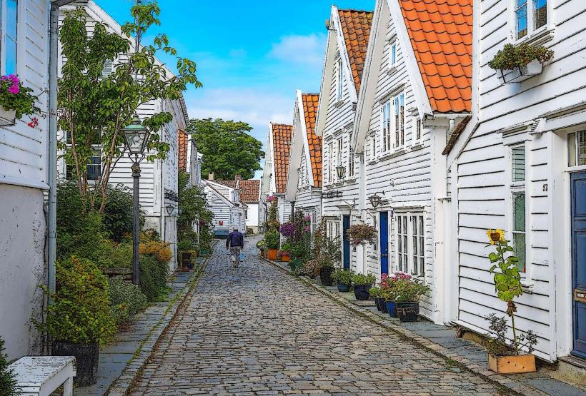
Vågen Bay is an elongated natural inlet, approximately 1.5 kilometers in length, extending from the main fjord into the city center. It is bordered by a continuous line of historic wooden buildings, predominantly painted white or light pastel colors, featuring traditional red tile roofs. These structures represent 18th and 19th-century Norwegian architectural styles. The water within the bay is typically calm, providing reflections of the surrounding architecture and the various vessels moored along the quays.
Location & Access Logistics
Vågen Bay is centrally situated in Stavanger, directly accessible from the main city streets including Strandkaien and Skagenkaien. It is located within 0.5 kilometers walking distance of the city center's commercial district and the main train station. Public parking facilities, such as Stavanger P-hus Jernbanen and Stavanger P-hus St. Olav, are available within 0.5 kilometers. Multiple local bus lines, including routes 1, 2, 3, 4, 6, and 7, have stops within 200 meters of the bay, connecting to various city areas. Ferry services to nearby islands also operate from quays along the bay.
Historical & Ecological Origin
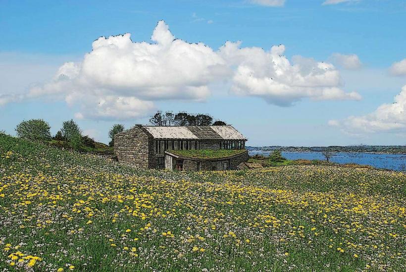
Vågen Bay is a natural geological formation, a deep inlet carved by glacial erosion during the last ice age, extending from the Boknafjord. Its original function was to provide a sheltered natural port for fishing, trade, and maritime activities, with its use documented since the Viking Age. The surrounding quays and urban infrastructure developed over centuries, with significant expansion occurring during the 18th and 19th centuries.
Key Highlights & Activities
Visitors can observe diverse maritime traffic, including fishing vessels, pleasure craft, and passenger ferries. Dining options are available at numerous restaurants and cafes situated along the waterfront. Boat tours to destinations such as the Lysefjord and Preikestolen depart from various quays within the bay. The area is suitable for walking along the designated promenade.
Infrastructure & Amenities
Public restrooms are accessible at several points along the waterfront, often integrated within commercial establishments or as dedicated facilities. Natural shade is limited, primarily provided by buildings; however, some cafes offer outdoor seating with umbrellas. Consistent 4G and 5G cell phone signal coverage is available throughout the area. Numerous food vendors, restaurants, and cafes are directly adjacent to the bay.
Best Time to Visit
The optimal time for photography is during the late morning or late afternoon, when the sun's lower angle provides softer illumination on the historic buildings. The months of May through September offer the mildest weather conditions and extended daylight hours. Tidal variations within Vågen Bay are minimal and do not significantly affect access or activities.
Facts & Legends
A historical fact is that the area around Skagenkaien on Vågen Bay served as Stavanger's central fish market for centuries, a vital hub for local commerce. A practical tip for visitors is to explore the narrow alleyways, known as smau, that branch off the main quays, as these often reveal hidden courtyards and preserved historical architectural details not visible from the primary promenade.
Nearby Landmarks
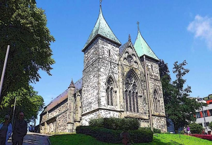
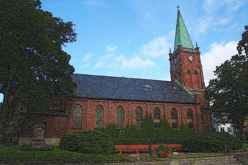
- Stavanger Cathedral: 0.3km East
- Gamle Stavanger (Old Stavanger): 0.2km West
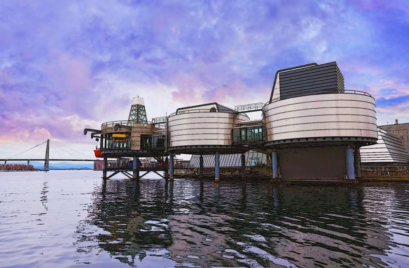
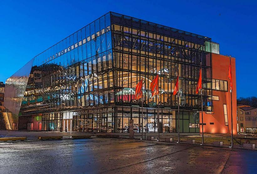
- Norwegian Petroleum Museum: 0.4km Southwest
- Valbergtårnet (Valberg Tower): 0.1km North
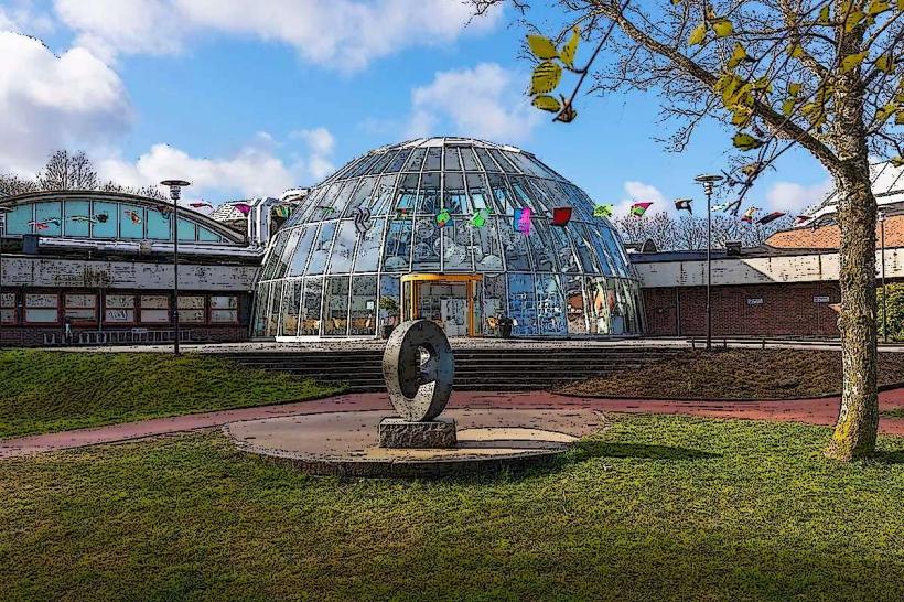
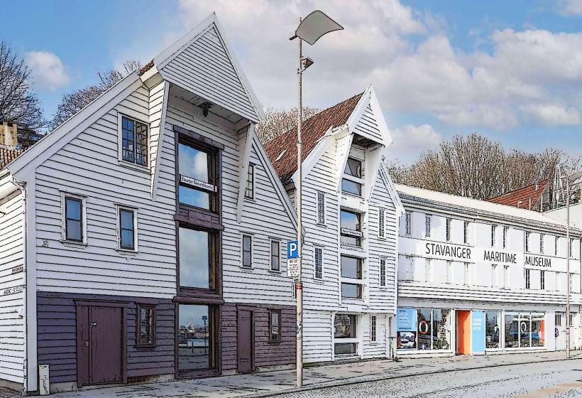
- Stavanger Maritime Museum: 0.05km North