Information
Landmark: Vågen HarborCity: Stavanger
Country: Norway
Continent: Europe
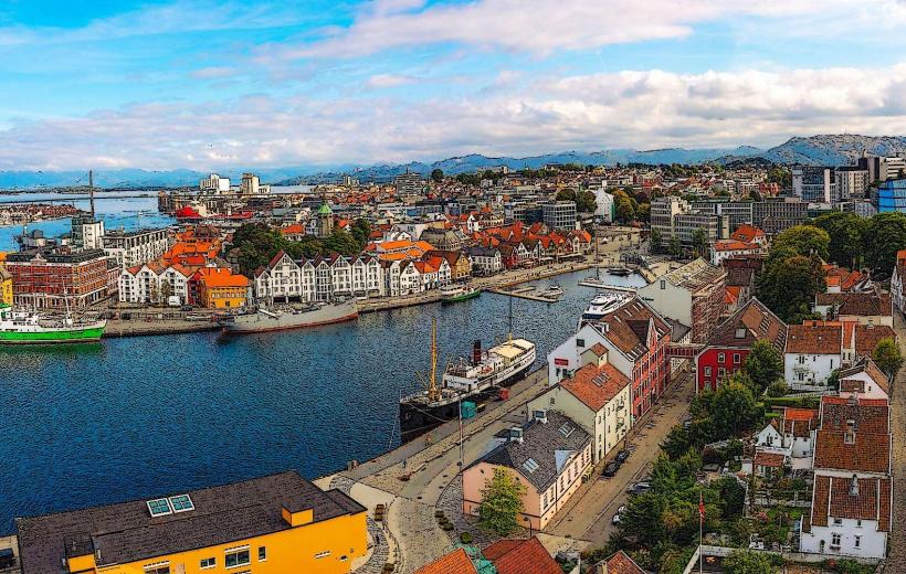
Vågen Harbor, Stavanger, Norway, Europe
Visual Characteristics
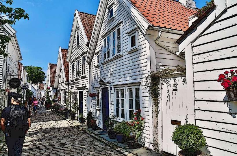
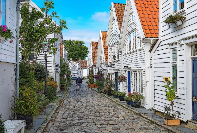
The harbor is an elongated arm of the fjord, characterized by dark blue-green water. It is bordered by quays lined with historic wooden buildings, predominantly painted white, with some featuring pastel colors. The structures range from two to four stories in height, displaying traditional Norwegian architectural styles from the 18th and 19th centuries. Various vessels, including fishing boats, leisure craft, and tourist ferries, are typically moored along the quays.
Location & Access Logistics
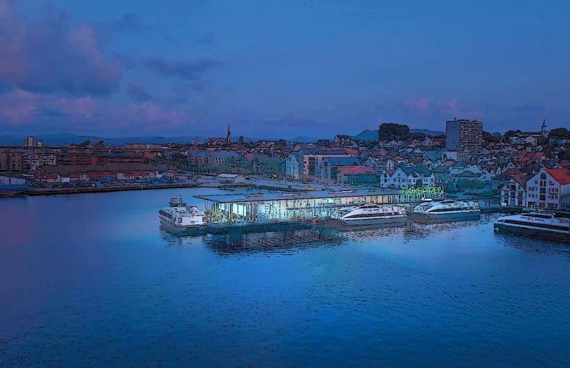
Vågen Harbor is located in the heart of Stavanger. Access is primarily by foot from the city center. Major roads such as Strandkaien and Skagenkaien run along its eastern and western edges, respectively. Public parking is available in multi-story garages like Stavanger P-hus Jernbanen, approximately 0.4km southeast, and Stavanger P-hus St. Olav, 0.6km south. The main bus terminal, Stavanger Byterminal, is 0.5km south, serving numerous local and regional bus lines. Express boat services to nearby islands and fjord tours depart directly from the harbor quays.
Historical & Ecological Origin
Vågen Harbor is a natural fjord arm, a geological formation resulting from glacial erosion during the last ice age. Its historical significance dates back to the Viking Age, serving as a natural deep-water port. The city of Stavanger developed around this harbor, which became a crucial hub for trade, fishing, and shipping from the 12th century onwards. Its original purpose was to facilitate maritime commerce and provide shelter for vessels.
Key Highlights & Activities
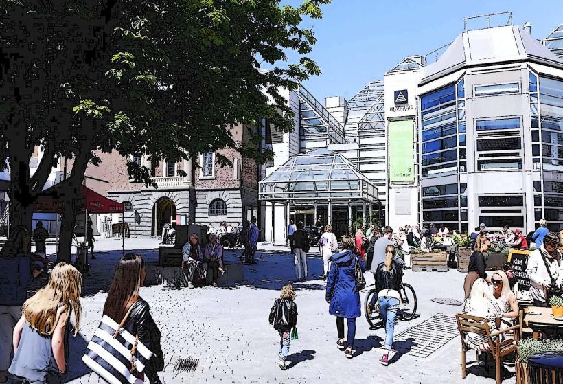
Walking along the quays of Strandkaien and Skagenkaien is a primary activity. Dining at the numerous waterside restaurants and cafes is possible. Guided fjord cruises, including trips to the Lysefjord and Preikestolen, depart regularly. Observing historic vessels and the daily operations of a working harbor is common. Attending seasonal events such as the Gladmatfestivalen (food festival) in July is also an option.
Infrastructure & Amenities
Public restrooms are available at the nearby Stavanger Byterminal and within many of the restaurants and cafes lining the harbor. Shade is limited along the open quays but can be found under awnings of buildings. Cell phone signal is strong, with reliable 4G and 5G coverage throughout the area. Numerous food vendors, including full-service restaurants, cafes, and kiosks, are directly adjacent to the harbor.
Best Time to Visit
The best time for photography is during the morning hours for the eastern side (Skagenkaien) to capture direct sunlight on the buildings, and late afternoon/evening for the western side (Strandkaien). The months of June, July, and August offer the mildest weather and longest daylight hours, making them ideal for general visits. May and September also provide pleasant conditions with fewer crowds. Tidal variations do not significantly impact general harbor access or activities.
Facts & Legends
The name "Vågen" is derived from the Old Norse word "vágr," meaning "bay" or "inlet," directly describing its geographical form. Historically, the area around Skagenkaien was the primary landing point for goods and passengers, making it the commercial heart of old Stavanger. A practical tip for visitors is to explore the narrow alleys leading up from Skagenkaien to discover smaller, independent shops and cafes away from the main promenade.
Nearby Landmarks
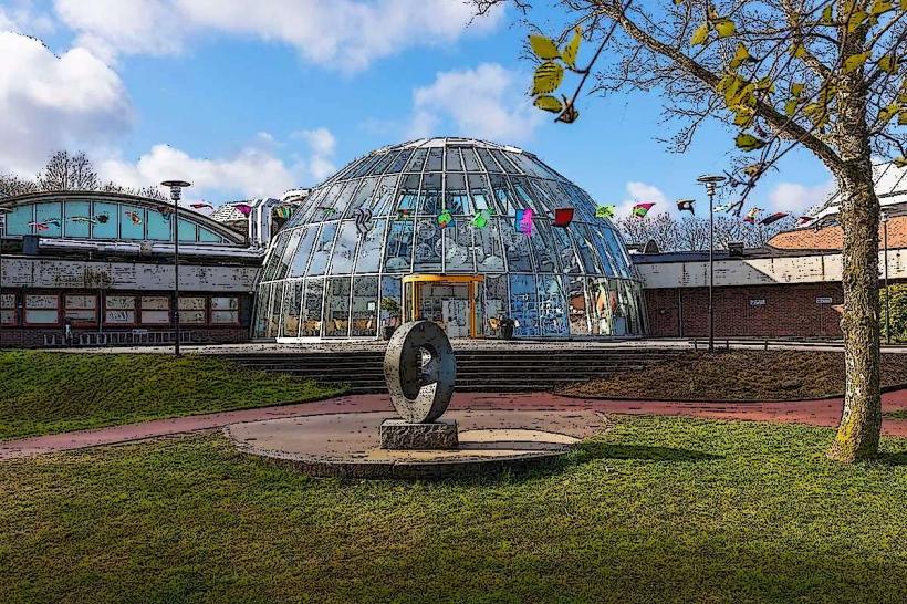
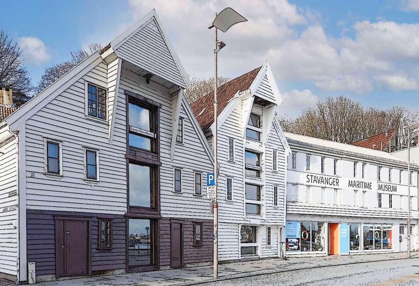
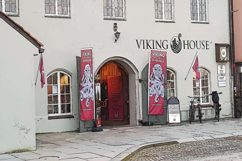
- Stavanger Maritime Museum: 0.1km East
- Valbergtårnet (Valberg Tower): 0.1km Southwest
- Gamle Stavanger (Old Stavanger): 0.2km West
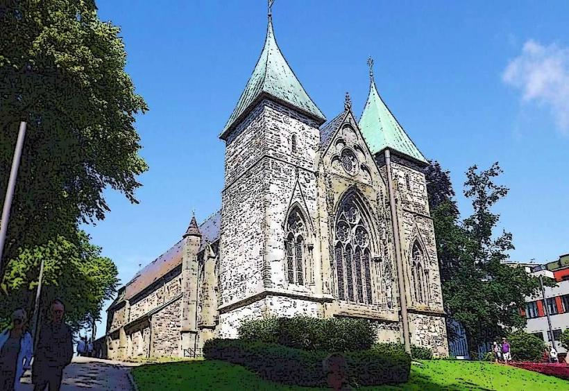
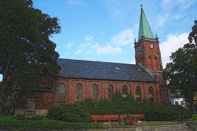
- Stavanger Cathedral: 0.3km South
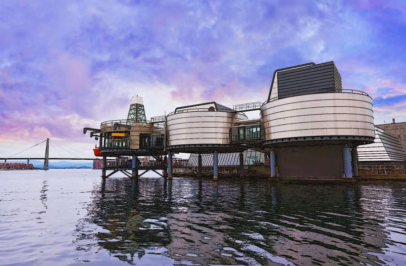
- Norwegian Petroleum Museum: 0.5km North