Information
Landmark: Ria Formosa Natural ParkCity: Algarve
Country: Portugal
Continent: Europe
Ria Formosa Natural Park, Algarve, Portugal, Europe
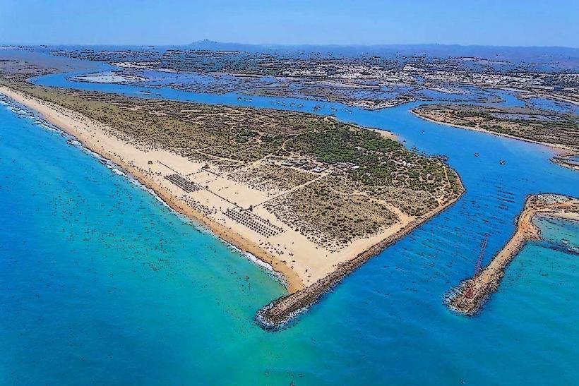
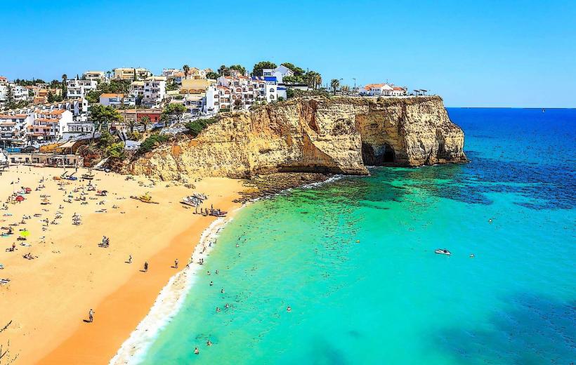
The Ria Formosa Natural Park is a 170-square-kilometer coastal lagoon system in the eastern Algarve, extending 60km along the municipalities of Loulé, Faro, Olhão, Tavira, and Vila Real de Santo António. It is a designated Ramsar site and one of the "Seven Natural Wonders of Portugal."
Visual Characteristics
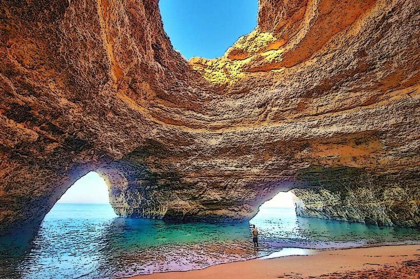
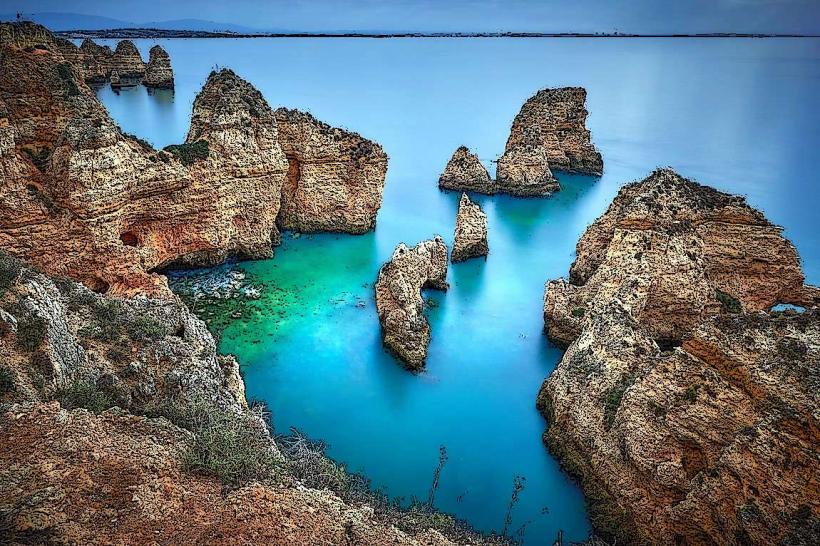
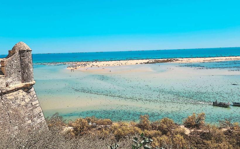
The park is a complex labyrinth of salt marshes, tidal inlets, channels, and islands. Its geography is defined by five barrier islands (Barreta, Culatra, Armona, Tavira, and Cabanas) and two peninsulas (Anção and Manta Rota). The landscape shifts dramatically with the tides, revealing expansive mudflats and sandbanks. The water ranges from shallow, dark emerald lagoons to the clear turquoise of the Atlantic beachfronts.
Location & Access Logistics
The park’s headquarters and primary Environmental Education Center (CEAM) are located at Quinta de Marim, near Olhão. Access to the barrier islands is primarily via ferry or water taxi departing from the piers in Faro, Olhão, Fuseta, and Tavira. The Ludo and Quinta do Lago areas near Faro Airport offer land-based access via walking trails and wooden boardwalks.
Historical & Ecological Origin
Formed by a major tsunami in 1755 and shaped by ongoing oceanic sediment transport, the Ria Formosa is a dynamic barrier system. It serves as a critical wetland for migratory birds traveling between Europe and Africa. It is a primary breeding ground for the European chameleon and hosts one of the world's largest populations of seahorses (Hippocampus guttulatus and Hippocampus hippocampus).
Key Highlights & Activities
Birdwatching: Observation of flamingos, purple swamphens, and spoonbills.
Boat Tours: Navigating the channels to visit traditional fishing communities on Culatra Island.
Hiking & Cycling: The Ludo Trail and Quinta de Marim circuits.
Shellfish Observation: Observing local "mariscadores" (shellfish harvesters) working the tidal flats for clams and oysters.
Infrastructure & Amenities
Visitor centers provide maps and educational exhibits. Major access points and islands feature public restrooms and seasonal restaurants. 4G/5G cellular coverage is consistent across the lagoons but may weaken in remote dune areas. Wooden boardwalks are installed in sensitive ecological zones like Quinta do Lago to ensure wheelchair accessibility and dune protection.
Best Time to Visit
Autumn and spring are optimal for birdwatching due to migration patterns. For boating and beach activities, June through September offers stable weather and warm water. Low tide is essential for observing the mudflats and the distinct flora and fauna of the salt marshes.
Facts & Legends
The Ria Formosa is the source of approximately 80% of Portugal's clam exports. A local historical fact is that the islands once housed self-governing seasonal fishing camps; Culatra remains one of the few islands with a year-round resident population that traditionally lived without cars or paved roads.
Nearby Landmarks
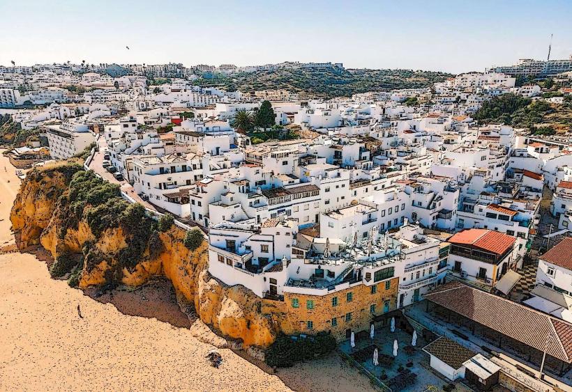
Faro Old Town: 2km West
Olhão Fish Market: 1km North
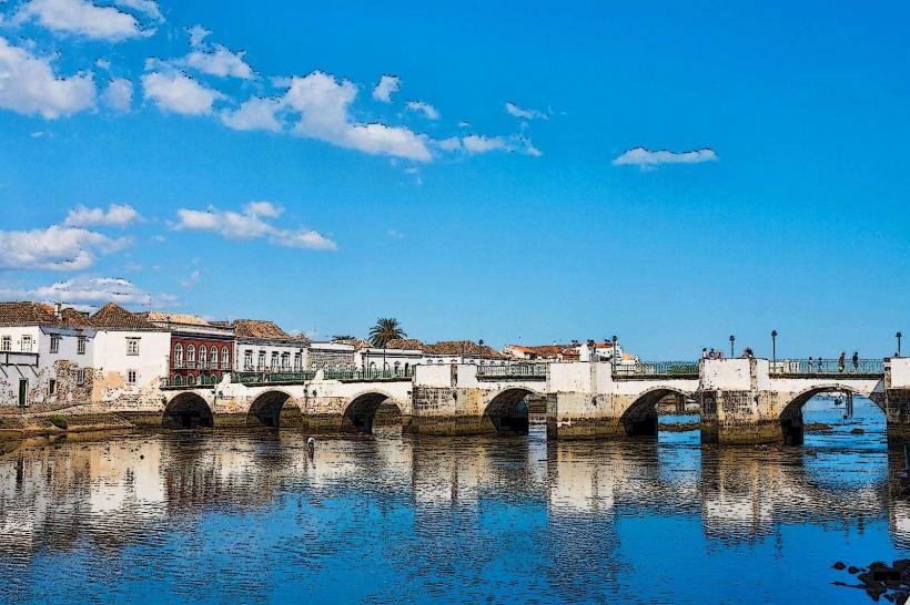
Tavira Island: 20km East
Faro Airport: 1km North (of the Ludo trails)
Santa Luzia: 18km East