Information
Landmark: Río BeniCity: Beni
Country: Bolivia
Continent: South America
Río Beni, Beni, Bolivia, South America
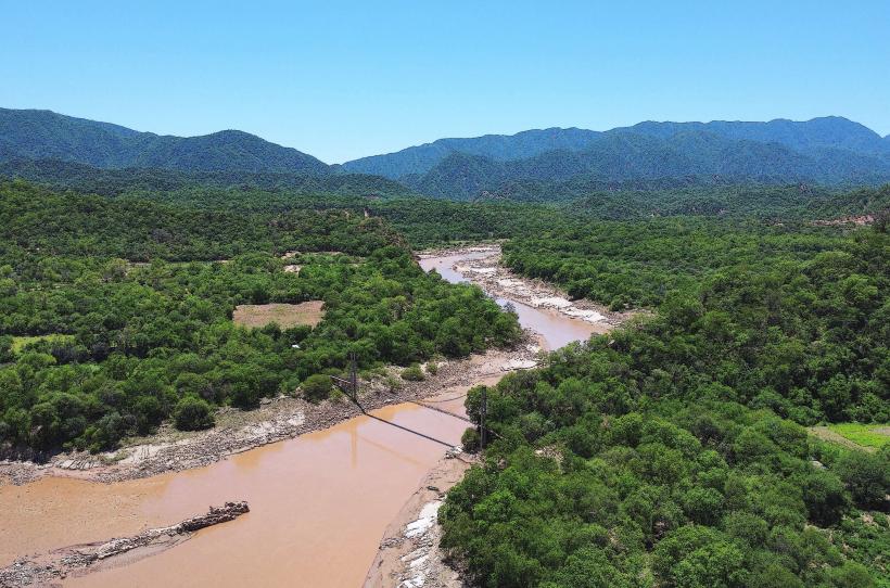
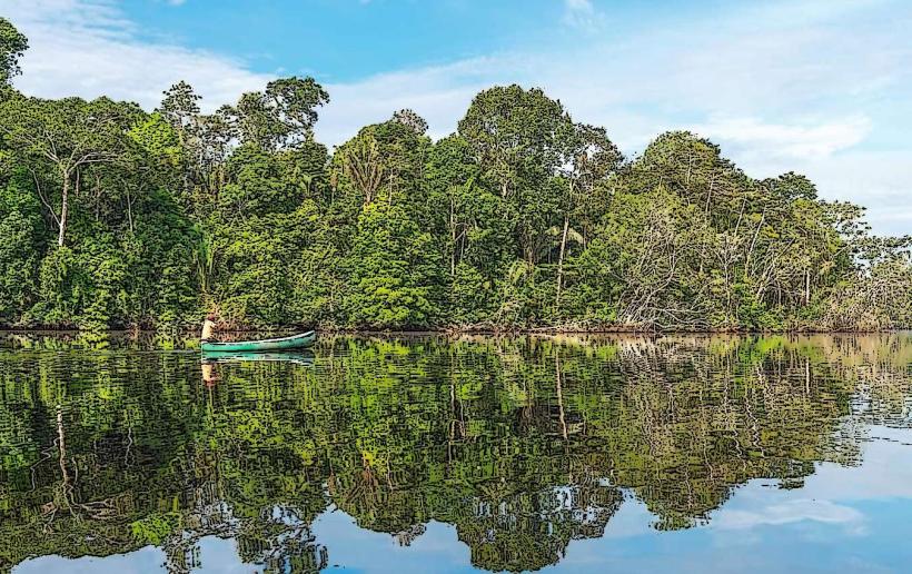
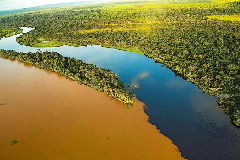
The Río Beni is a major river in the Amazon Basin, flowing through the Beni Department of Bolivia.
It is a significant tributary of the Madeira River, itself a major tributary of the Amazon River.
Visual Characteristics
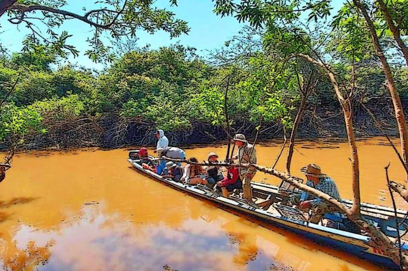
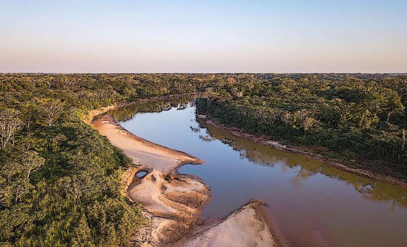
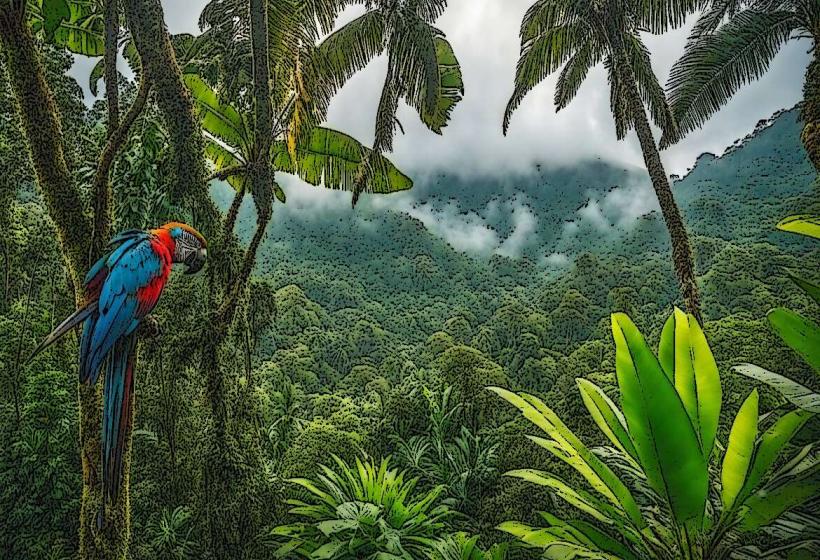
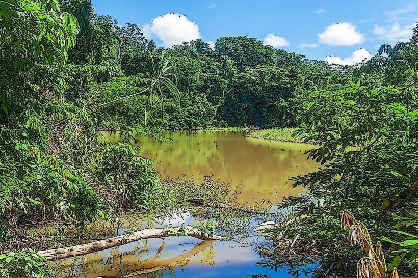
The river's water color varies from a muddy brown to a darker, tea-like hue depending on sediment load and seasonal rainfall. Its width can range from 500 meters to over 2 kilometers in certain sections. The riverbanks are characterized by dense tropical rainforest vegetation, including tall trees, palms, and a thick undergrowth. During the wet season, the river can expand significantly, inundating surrounding low-lying areas.
Location & Access Logistics
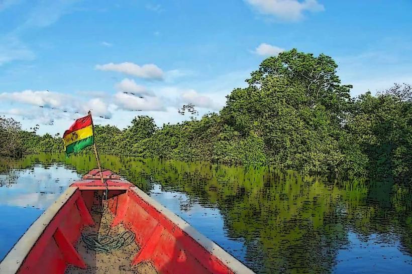
The Río Beni flows through the Beni Department in northeastern Bolivia. Access points are primarily via the city of Trinidad, the departmental capital. From Trinidad, river transport is the most common method of accessing different parts of the river. Local boat operators offer services, often requiring negotiation for specific routes. Road access to the river is limited and often unpaved, particularly outside of major settlements. The nearest major airport is Teniente Jorge Henrich Airport (TJA) in Trinidad.
Historical & Ecological Origin
The Río Beni is a fluvial system formed by the confluence of numerous smaller rivers originating in the Andes Mountains. Its geological origin is tied to the erosion and sediment transport processes of the Andean foothills and the subsequent formation of the Amazon Basin. Ecologically, it is classified as a lowland tropical rainforest river system, supporting a high level of biodiversity.
Key Highlights & Activities
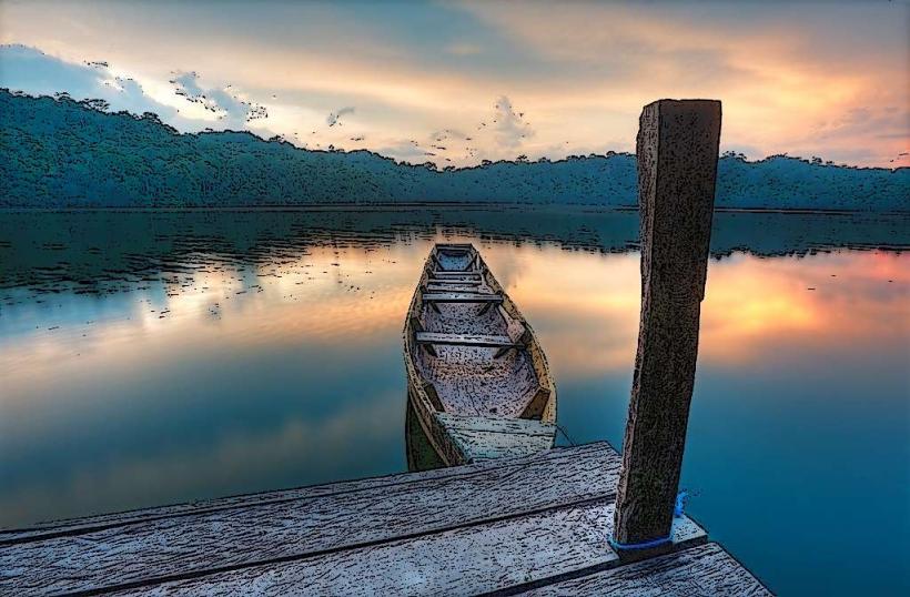
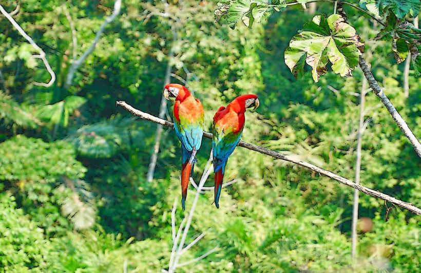
Boat excursions along the river are the primary activity, offering opportunities for wildlife observation. Birdwatching is prominent, with species such as macaws, toucans, and various water birds present. Fishing is a common local activity. Guided jungle treks along the riverbanks can be arranged to observe flora and fauna. Kayaking or canoeing is possible in calmer sections of the river.
Infrastructure & Amenities
Infrastructure is minimal along most of the river. Basic lodges or eco-camps may be found in specific tourist areas, offering rudimentary accommodation. Cell phone signal is generally absent outside of larger towns like Trinidad. Food vendors are typically found only in populated areas along the river or at departure points. Restrooms are not standard along the river itself but are available at departure points and in settlements.
Best Time to Visit
The dry season, from May to October, is generally preferred for river travel due to lower water levels and more predictable conditions. This period also offers better visibility for wildlife. The wet season (November to April) sees higher water levels, which can facilitate access to more remote areas but also increases the risk of flooding and insect activity. The best time of day for photography is early morning and late afternoon for softer light.
Facts & Legends
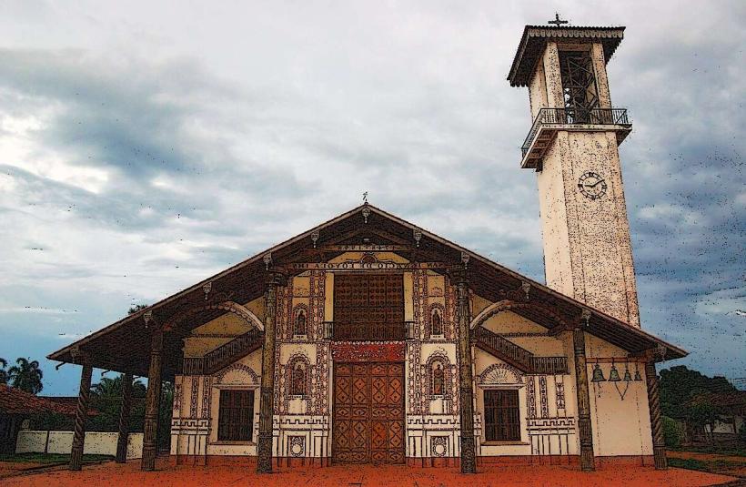
The river is known for its significant seasonal fluctuations, with water levels rising dramatically during the rainy season. Local indigenous communities have long relied on the Río Beni for sustenance and transportation, with many traditional practices still in place. A notable historical fact is its role in early exploration and trade routes within the Amazon.
Nearby Landmarks
- Parque Nacional Isiboro Sécure (Approx. 50km Southwest)
- Laguna Colorada (Approx. 30km Southeast)
- San Borja (Approx. 70km Northwest)
- Reyes (Approx. 40km West)
- Santa Ana del Yacuma (Approx. 60km East)