Information
Landmark: RurrenabaqueCity: Beni
Country: Bolivia
Continent: South America
Rurrenabaque, Beni, Bolivia, South America
Rurrenabaque is a municipality and town located in the Beni Department of Bolivia. It serves as a primary gateway to the Amazon rainforest and the pampas regions of northern Bolivia.
Visual Characteristics
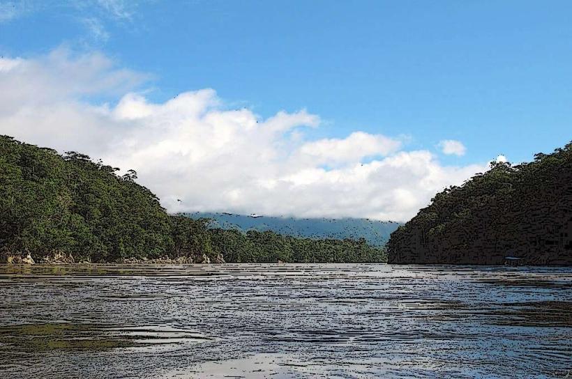
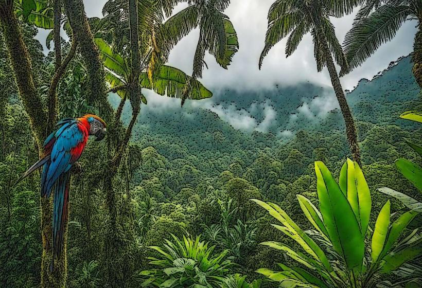
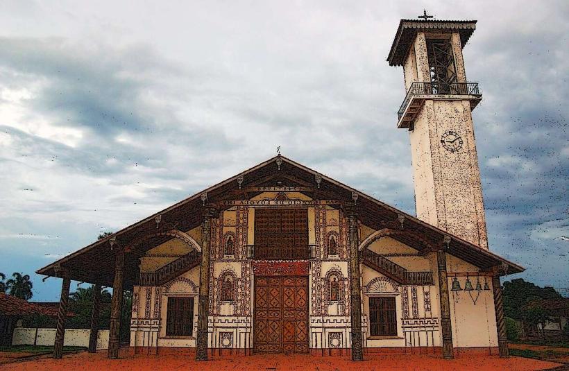
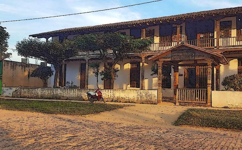
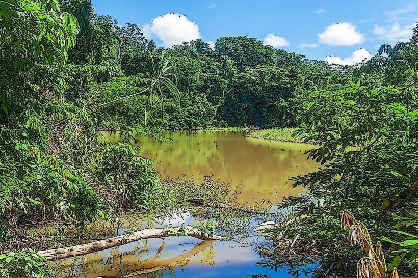
The town itself is characterized by low-rise buildings, predominantly constructed from brick and concrete, with corrugated metal roofs. Streets are largely unpaved, with a central paved area around the main plaza. The surrounding landscape transitions from savanna-like plains to dense tropical rainforest as one moves towards the rivers and protected areas.
Location & Access Logistics
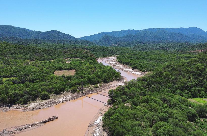
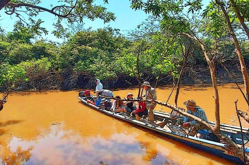
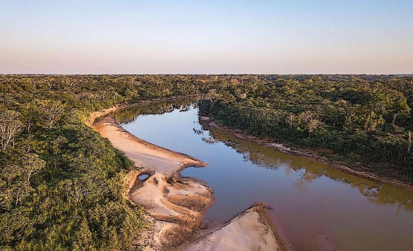
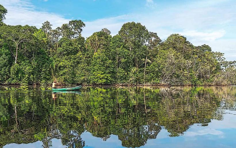
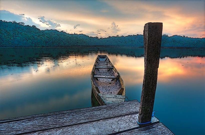
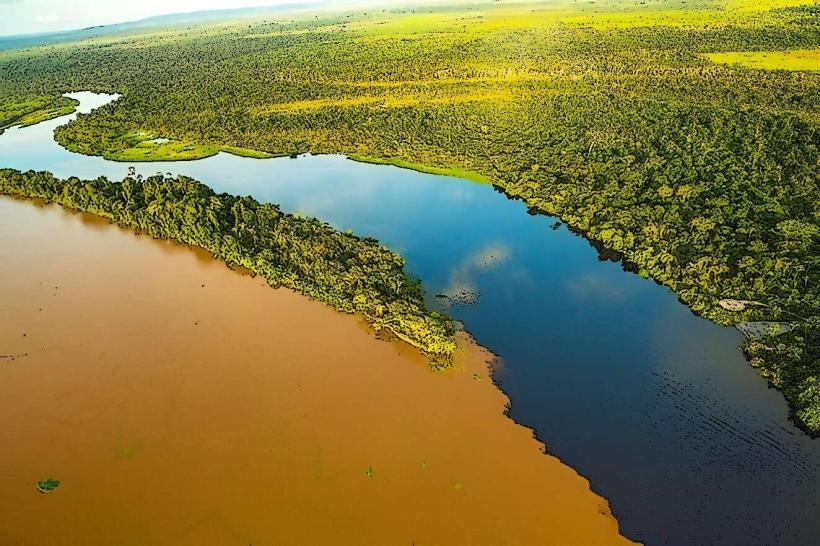
Rurrenabaque is situated on the Beni River. Access is primarily via air from La Paz (El Alto International Airport - LPB) to Rurrenabaque Airport (RBQ), a flight duration of approximately 45 minutes. Road access from La Paz is possible but involves a multi-day journey over unpaved and often impassable roads, particularly during the rainy season. There is no direct public transport from La Paz by road. Within Rurrenabaque, local transport consists of mototaxis and taxis. Boat transport is essential for accessing many surrounding ecological reserves.
Historical & Ecological Origin
Rurrenabaque was founded in 1844 by Colonel Manuel de la Concha. Its original purpose was to serve as a port and administrative center for the region. Ecologically, the area is a transition zone between the Andean foothills and the Amazon basin, featuring diverse ecosystems including tropical rainforest, savanna, and wetlands, supporting a high level of biodiversity.
Key Highlights & Activities
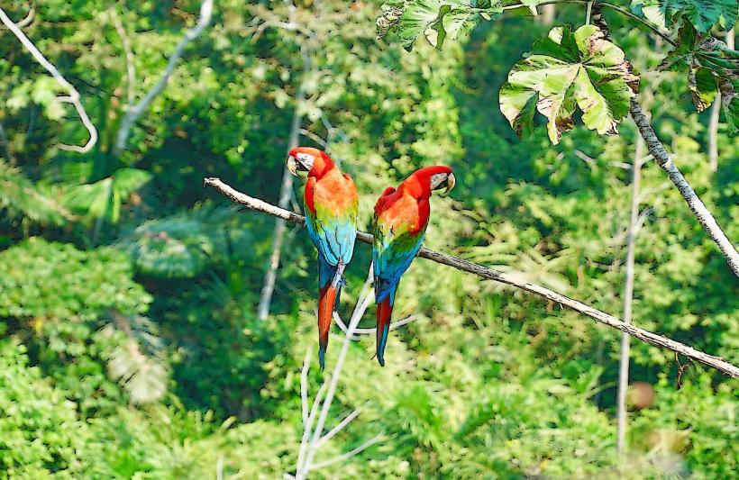
Activities include boat tours on the Beni and Tuichi rivers for wildlife observation (monkeys, caimans, capybaras, birds). Jungle treks into Madidi National Park are available, focusing on flora and fauna identification. Pampas tours offer opportunities to see pink river dolphins, anacondas, and piranhas. Night walks in the jungle are also offered.
Infrastructure & Amenities
Basic tourist infrastructure is present, including a range of hostels and small hotels. Several restaurants and small shops are located in the town. Restrooms are available in accommodations and restaurants. Cell phone signal (primarily 2G/3G) is inconsistent and often weak outside the immediate town center. Shade is available in the town's plaza and under dense tree cover in surrounding natural areas. There are no formal food vendors within the natural reserves, requiring visitors to carry supplies.
Best Time to Visit
The dry season, from June to October, is generally considered the best time to visit due to more stable weather and easier access to remote areas. During this period, wildlife is often more concentrated around water sources. The wet season (November to May) can lead to flooded roads and trails, impacting accessibility. For photography, early morning and late afternoon offer optimal lighting conditions for wildlife viewing.
Facts & Legends
A local legend speaks of the "Isla de los Micos" (Monkey Island) on the Tuichi River, where it is said that monkeys were once trained by indigenous tribes to steal from passing boats. A verified fact is that Rurrenabaque is one of the lowest-lying towns in Bolivia, contributing to its warm climate year-round.
Nearby Landmarks
- Madidi National Park (15km Northwest)
- Serranía de Chalalan (30km West)
- Tuichi River (Adjacent)
- Beni River (Adjacent)
- San Borja (150km South)