Information
Landmark: Río MamoréCity: Beni
Country: Bolivia
Continent: South America
Río Mamoré, Beni, Bolivia, South America
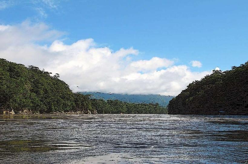
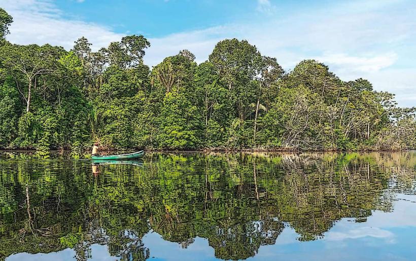
The Río Mamoré is a major river located in the Beni Department of Bolivia. It is one of the principal headwaters of the Amazon River system.
Visual Characteristics
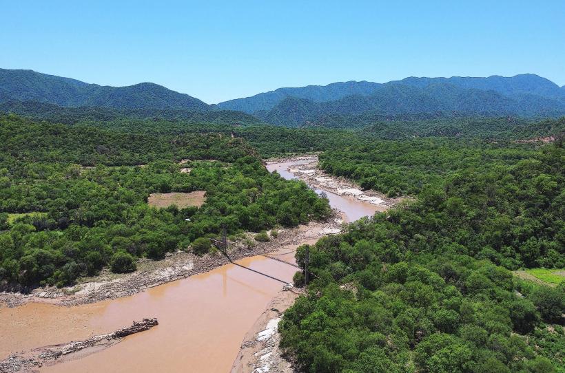
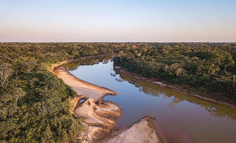
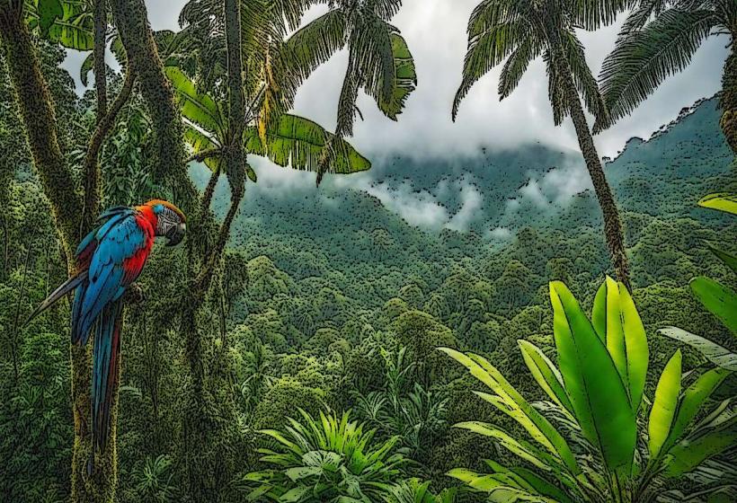
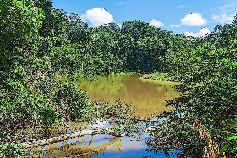
The river's width varies significantly, ranging from approximately 500 meters in narrower sections to over 2 kilometers during flood periods. The water color is typically brown, indicative of high sediment load from the Andes. The riverbanks are characterized by dense tropical rainforest vegetation, including a variety of hardwood trees and palm species. During the dry season, exposed sandbars become visible along the river's course.
Location & Access Logistics
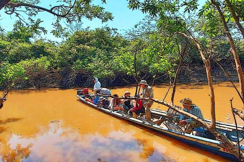
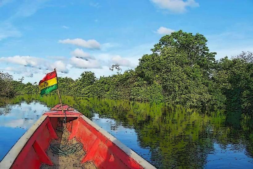
The Río Mamoré flows through the Beni Department, with major access points near the cities of Trinidad and Guayaramerín. From Trinidad, the main access is via the RN9 highway heading north towards Guayaramerín. The journey to Guayaramerín is approximately 200 kilometers. Boat travel is the primary mode of transport along the river itself. Limited road access exists directly to the riverbanks in some areas, often requiring 4x4 vehicles. Parking is generally informal and available at port towns like Guayaramerín.
Historical & Ecological Origin
The Río Mamoré is a fluvial system formed by the confluence of several smaller rivers originating in the Andes. Its current course is a result of ongoing geological processes, including erosion and sediment deposition over millennia. Ecologically, it is part of the Amazon basin, supporting a rich biodiversity of aquatic life and riparian ecosystems. Historically, the river served as a crucial transportation route for indigenous populations and later for colonial explorers and rubber tappers.
Key Highlights & Activities
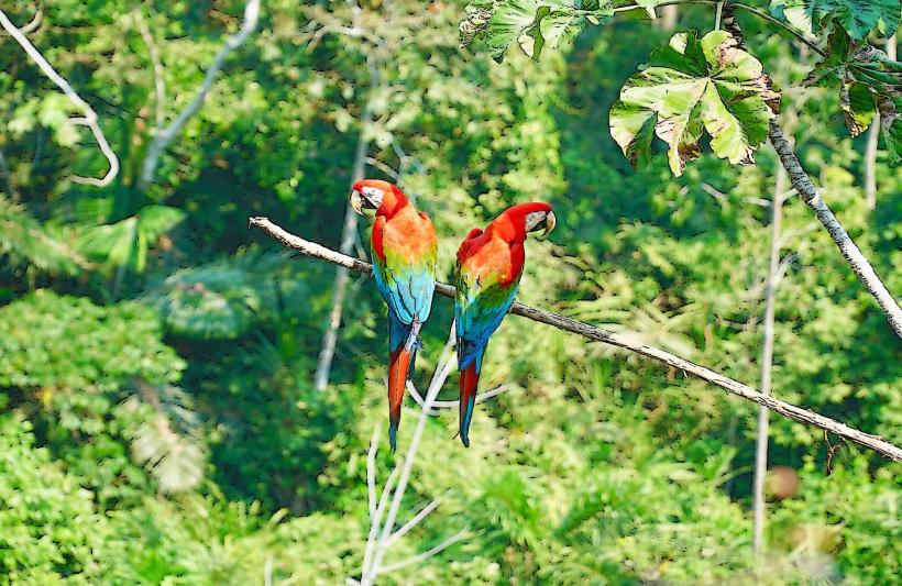
Riverboat excursions are the primary activity, offering opportunities to observe wildlife and local communities. Fishing is permitted in designated areas. Kayaking and canoeing are possible in calmer tributaries during the dry season. Wildlife observation, particularly of river dolphins, caimans, and various bird species, is a significant draw.
Infrastructure & Amenities
Basic infrastructure is present in port towns such as Guayaramerín, including small hotels and restaurants. Restrooms are available at these service points. Shade is abundant along the riverbanks due to the dense forest canopy. Cell phone signal is generally unreliable outside of major settlements. Food vendors are typically found in port towns.
Best Time to Visit
The dry season, from June to October, offers the most stable river conditions and easier access to riverbanks. During this period, water levels are lower, exposing more sandbars. The wet season (November to May) sees significantly higher water levels, which can impact accessibility but also increase the visibility of certain wildlife. The best time of day for wildlife observation is typically early morning and late afternoon.
Facts & Legends
The Río Mamoré is known for its significant seasonal fluctuations in water level, which can alter the river's width by several kilometers. Local folklore speaks of the "Boto," a mythical pink river dolphin that can transform into a handsome man to seduce women.
Nearby Landmarks
- Parque Nacional Isiboro Sécure: 80km Southwest (Access via boat or specialized transport)
- Trinidad: 200km Southwest (Major city and transport hub)
- Guayaramerín: Adjacent to the river (Port town)
- Río Beni: Confluence point, approximately 150km Northwest