Information
City: BeniCountry: Bolivia
Continent: South America
Beni, Bolivia, South America
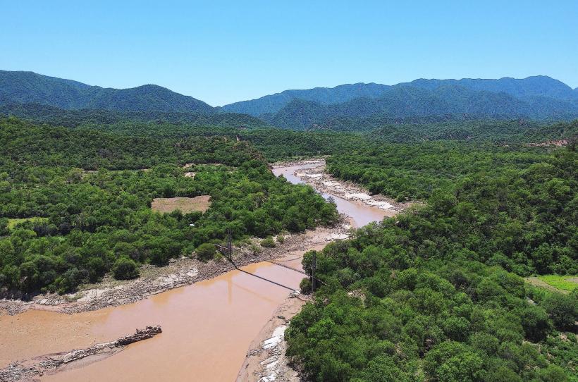
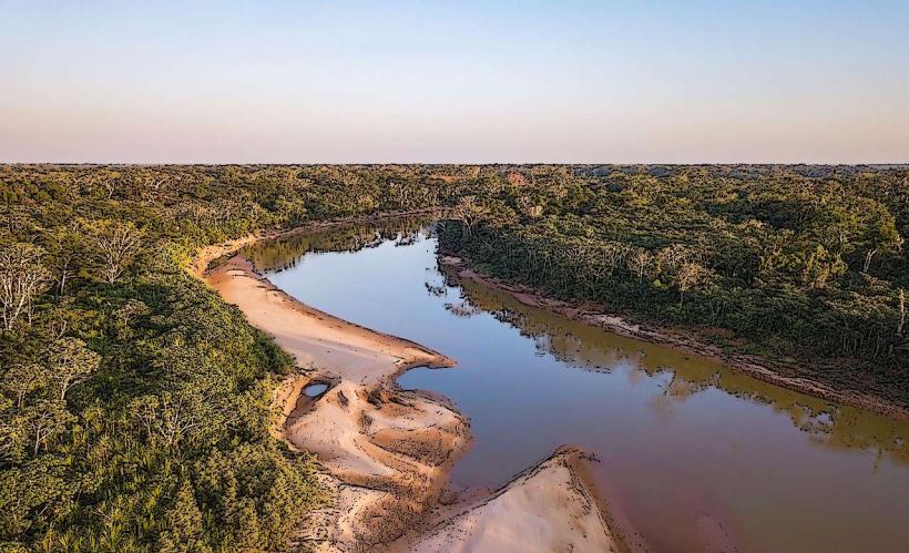
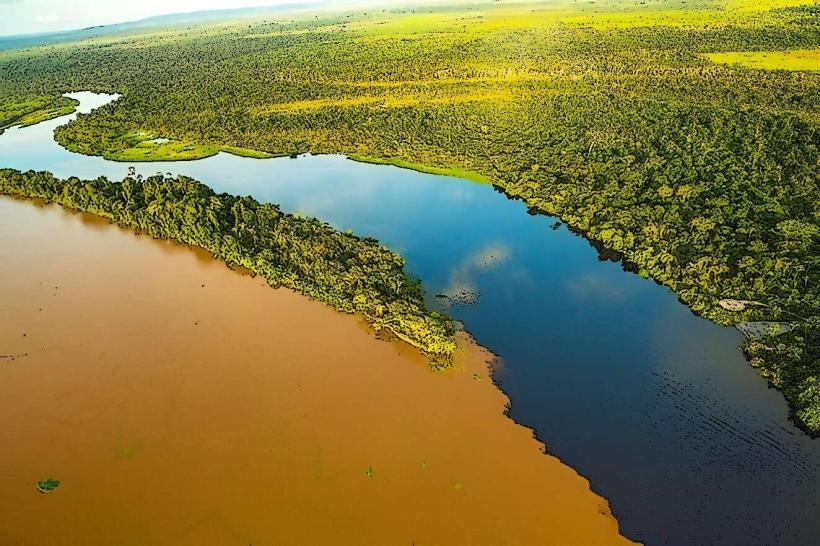
Trinidad serves as the administrative capital of the Beni Department and is the primary hub for Bolivia's tropical livestock industry. Situated in the Llanos de Moxos at an elevation of 155m, it is characterized by extensive wetlands, pampas, and a network of Amazonian rivers.
Historical Timeline
The city was founded in June 1686 by Father Cipriano Barace as the second Jesuit mission in the region. Its governance transitioned from a missionary outpost to a departmental capital in 1842 under the administration of José Ballivián. The most significant architectural change was the construction of the Anillo de Circunvalación, a massive stone and concrete defensive wall built to protect the city from the seasonal flooding of the Mamoré River. The late 20th-century expansion of the cattle industry remains the primary event that defined its modern economic structure.
Demographics & Population
The estimated 2026 population of Trinidad is 135,000, while the Beni Department totals approximately 488,000. The demographic profile is a blend of Mestizo and indigenous Moxos (Moxeño) and Trinitario peoples. The median age is approximately 23.1 years, reflecting a young population typical of the Bolivian lowlands.
Urban Layout & Key Districts
Trinidad is organized on a traditional grid, but its growth is physically constrained by the surrounding floodplains.
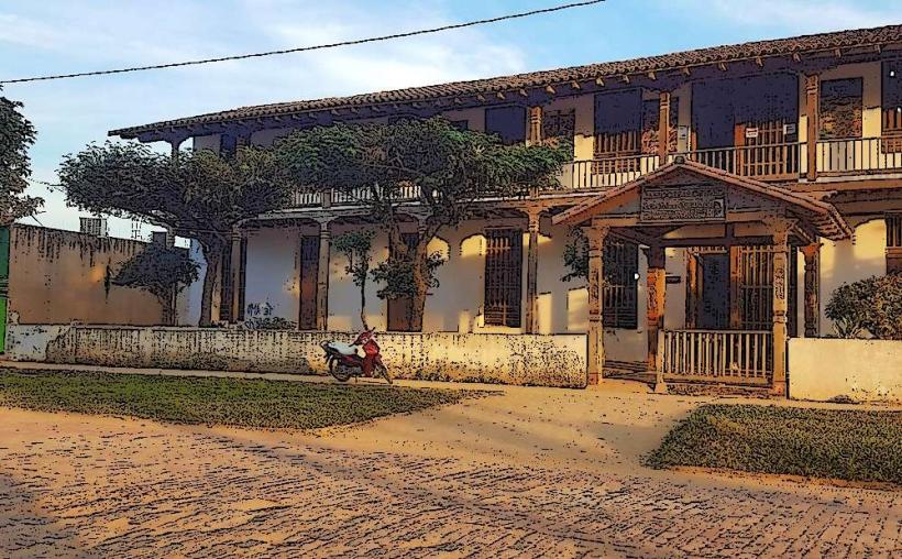
The Center: Focused on Plaza José Ballivián, containing the Cathedral and government buildings.
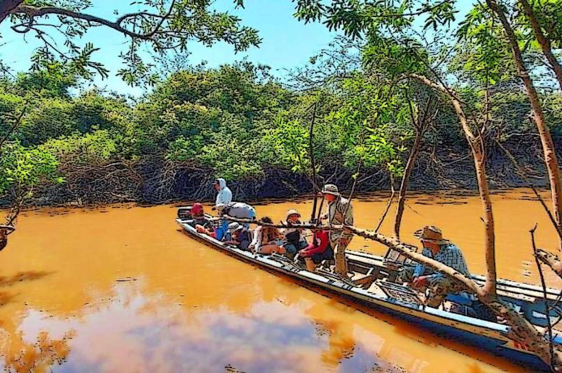
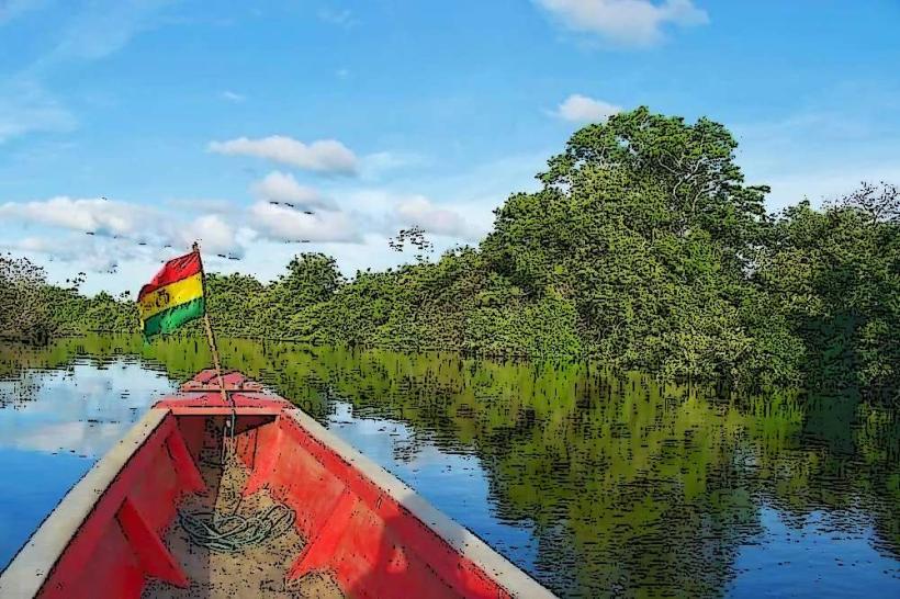
Puerto Varador / Puerto Almacén: Peripheral river ports located 8–10 km from the center, acting as the city's functional link to the Mamoré River.
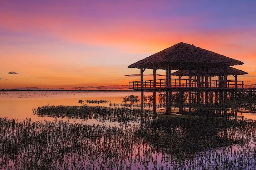
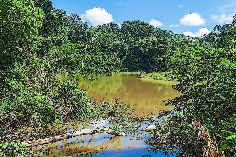
Laguna Suárez: A residential and recreational district to the south, centered around a large artificial lagoon.
Top City Landmarks
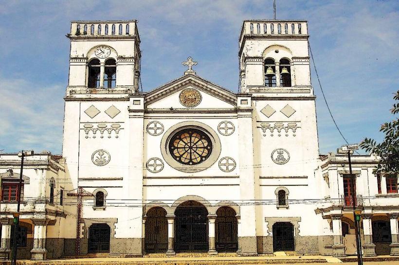
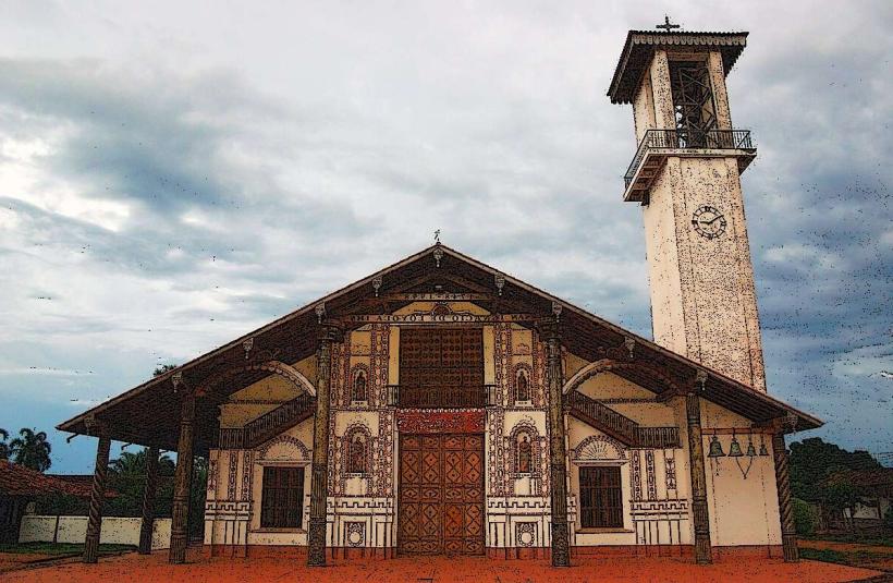
Trinidad Cathedral: An academic-style structure built in 1931, housing valuable colonial-era religious art.
Etno-Archaeological Museum (Kenneth Lee): Showcases the sophisticated hydraulic engineering and pottery of the pre-Columbian Moxos civilization.
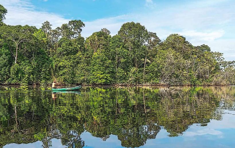
Laguna Suárez: A popular swimming and birdwatching site located 5 km from the city.
The Circunvalación Wall: The city’s primary flood defense and a common route for local motorcyclists.
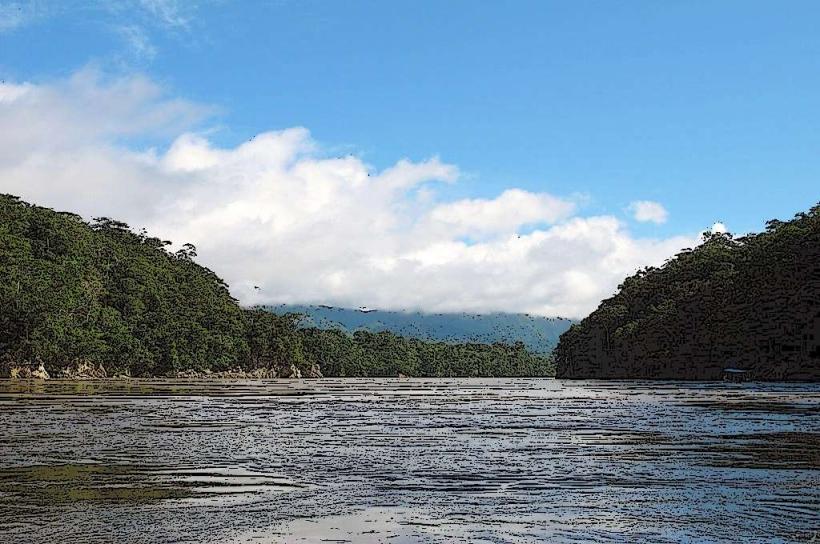
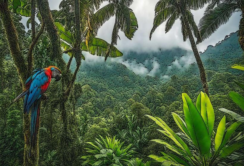
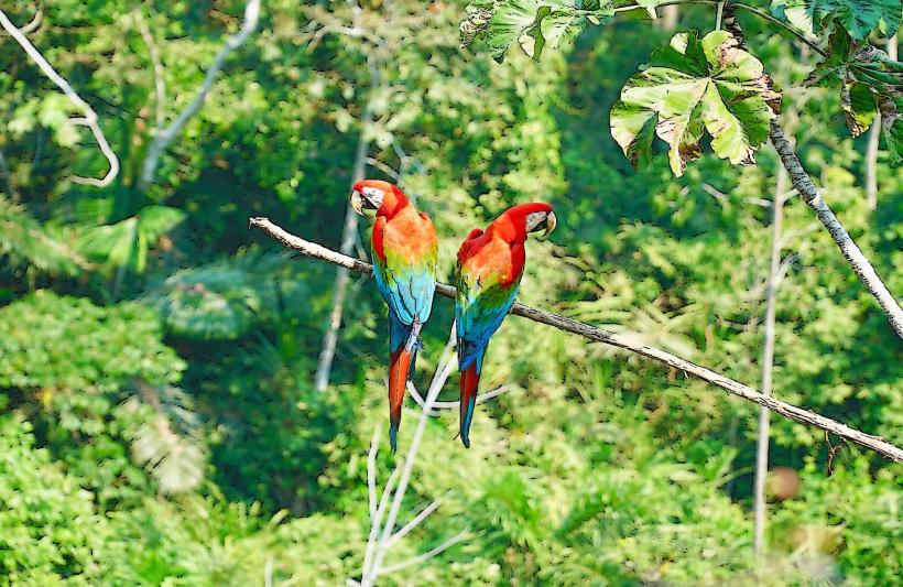
Pantanal de Moxos: The vast surrounding wetlands, often visible from the city’s outskirts.
Transportation Network
There is no metro or cable car system. The city is famous for having one of the highest densities of motorcycles per capita in South America; "mototaxis" are the primary mode of public transit. Teniente Jorge Henrich Arauz Airport (TDD) provides critical daily links to Santa Cruz and La Paz. Road transit to other departments is highly dependent on the season; Route 3 to La Paz and Route 9 to Santa Cruz can become impassable during the rainy season. Traffic is dominated by small-engine motorbikes.
Safety & "Red Zones"
Trinidad is generally safer than Bolivia’s larger metropolises. There are no strictly defined "red zones," but standard caution is required at the river ports at night. The primary safety risks are environmental: severe flooding during the rainy season and poor air quality during the burning season. "Express kidnappings" are rare, but petty theft from motorcycles is a persistent risk.
Digital & Financial Infrastructure
Average internet speed is 30-50 Mbps. Main mobile carriers are Entel and Tigo. While card acceptance is standard in major hotels and supermarkets, the local economy remains extremely cash-dependent. ATMs are concentrated around the main plaza. Digital infrastructure is expanding, but the region remains the least connected major department in Bolivia.
Climate & Health Risk
The climate is tropical and humid. Temperatures range from 22°C to 34°C year-round. Dengue, Zika, and Yellow Fever are endemic risks due to the surrounding wetlands; vaccinations and insect repellent are mandatory. Smoke inhalation is a significant health risk in August and September due to regional agricultural fires (quemas).
Culture & Social Norms
Identity: Residents identify as Benianos, characterized by a relaxed, river-based lifestyle.
Cuisine: The diet is centered on beef, freshwater fish (pacú and surubí), and "masaco" (mashed plantains or cassava with jerky).
Pace: The "siesta" is heavily observed; most activity ceases between 12:00 and 15:30 due to extreme heat.
Accommodation Zones
City Center: Recommended for business and access to restaurants.
Laguna Suárez: Recommended for travelers seeking eco-lodges and a quieter, resort-style environment.
Local Cost Index
1 Standard Lunch: 25–35 BOB ($3.60–$5.00 USD)
1 Mototaxi Fare (Within city): 5–10 BOB ($0.75–$1.45 USD)
1 Espresso: 12 BOB ($1.75 USD)
Nearby Day Trips
Loma Suárez: 12 km (A historical hill with views of the Ibare River).
Chuchini Wildlife Reserve: 14 km (An eco-reserve known for caimans and pre-Columbian mounds).
Mamoré River Tours: Accessible via Puerto Varador (Pink dolphin watching).
Facts & Legends
A local legend involves the "Jichi", a mythical serpent protector of the water and wetlands that is said to live in the deepest parts of the lagoons. A verified historical oddity is that the city’s surrounding plains contain thousands of "Lomas" (artificial mounds) built by pre-Columbian inhabitants to stay above the floodwaters, representing one of the most advanced examples of ancient landscape engineering in the Amazon.