Information
Landmark: Samaria GorgeCity: Crete
Country: Greece
Continent: Europe
Samaria Gorge, Crete, Greece, Europe
Samaria Gorge is a National Park and World Biosphere Reserve located in the White Mountains (Lefka Ori) of western Crete. It is one of the longest canyons in Europe, stretching 16 km from the Omalos plateau to the Libyan Sea.
Visual Characteristics
The landscape is defined by sheer limestone cliffs rising up to 500 meters. The gorge transitions from high-altitude cypress and pine forests at the entrance to a narrow, rocky riverbed. The most iconic section is the "Iron Gates" (Sideroportes), where the canyon walls are only 4 meters apart.
Location & Access Logistics
Entrance (Xyloskalo): Located at an altitude of 1,227 meters on the Omalos Plateau.
Exit (Agia Roumeli): A coastal village accessible only by boat or on foot.
Transit: Most visitors arrive via organized bus from Chania or Rethymno. After the hike, a ferry transports visitors from Agia Roumeli to Sougia or Sfakia, where buses return to the cities.
Operating Season: Typically open from May 1 to October 31, depending on weather conditions and river water levels.
Entry Fee: A small admission fee is required (retain the ticket for exit verification).
Historical & Ecological Origin
The gorge was formed by the Tarraios River eroding the limestone over millions of years. It was declared a National Park in 1962 to protect the endemic Kri-Kri (Cretan wild goat). Historically, the gorge served as a natural fortress for Cretan resistance fighters during both Ottoman and Nazi occupations. The abandoned village of Samaria, located halfway through the hike, was inhabited until the park's creation.
Key Highlights & Activities
The Descent: The first 2 km involve a steep series of wooden-railed switchbacks known as Xyloskalo.
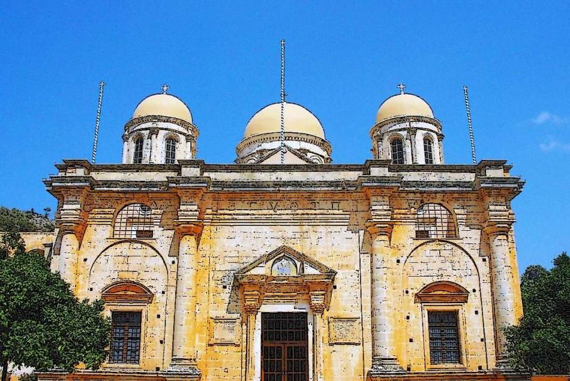
St. Nicholas Church: A small Byzantine chapel surrounded by ancient cypress trees.
The Iron Gates: The narrowest and most photographed point of the gorge.
Wildlife Observation: Opportunities to see the Kri-Kri goats and rare raptors like the Bearded Vulture.
Infrastructure & Amenities
Trail Condition: Rugged, rocky, and demanding. High-top hiking boots are recommended to prevent ankle injuries.
Water: Natural spring water fountains are located at regular intervals (approx. every 1–2 km).
Facilities: Basic toilet facilities are available at designated rest areas. There is a medical post in the abandoned Samaria village.
Safety: Forest rangers with mules patrol the trail to assist injured hikers.
Best Time to Visit
07:00–08:00: Arrival at the entrance is critical to finish the 5–7 hour hike before the peak heat and to catch the afternoon ferry.
May & September: Optimal temperatures. July and August can exceed 35°C within the canyon walls.
Facts & Legends
A verified geological fact is that the gorge is still deepening due to the tectonic uplift of the island. Local lore suggests the gorge was created by a giant's axe strike. More modern history notes that the village of Samaria remained one of the most isolated communities in Europe until the 1960s, having no road access.
Nearby Landmarks
Omalos Plateau: The starting region, known for traditional mountain dairy.
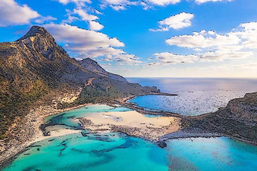
Agia Roumeli: The finish point, featuring a black pebble beach.
Sougia/Sfakia: The transit hubs for the return journey.