Information
Landmark: San BartoloméCity: Lanzarote
Country: Canary Islands
Continent: Europe
San Bartolomé, Lanzarote, Canary Islands, Europe
San Bartolomé is a municipality situated in the geographical center of Lanzarote, one of the Canary Islands. It functions as an important agricultural and administrative center for the island.
Visual Characteristics
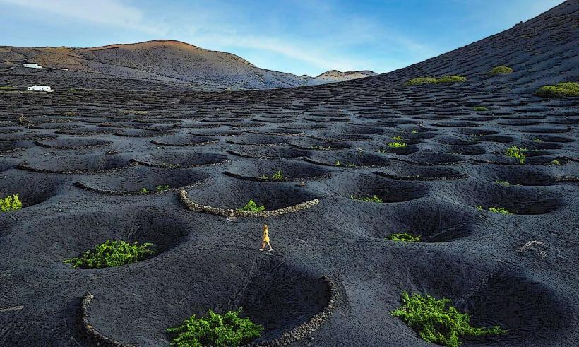
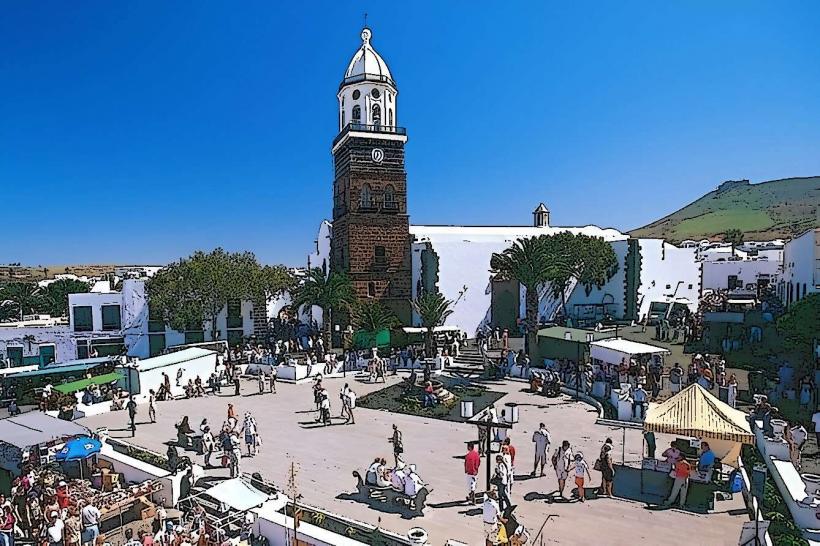
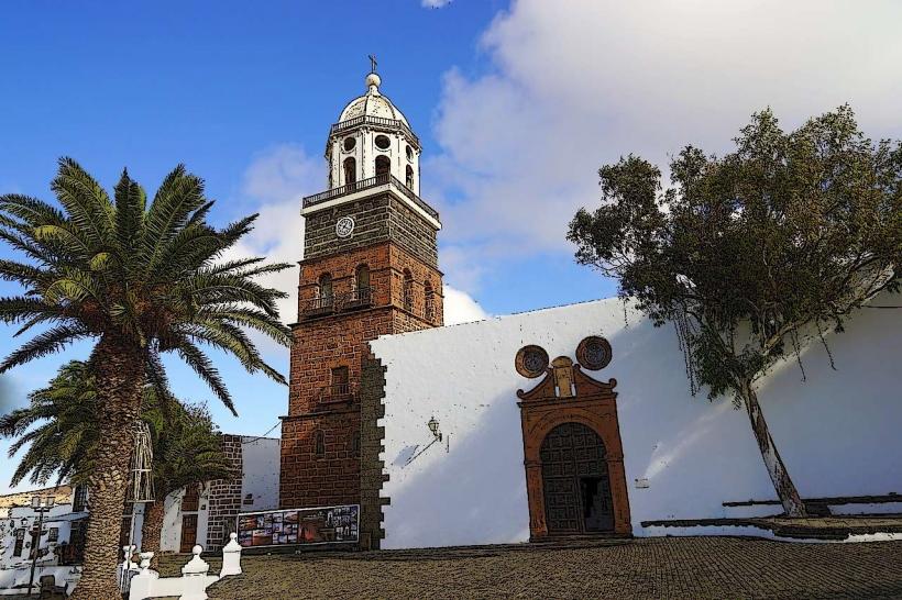
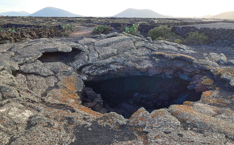
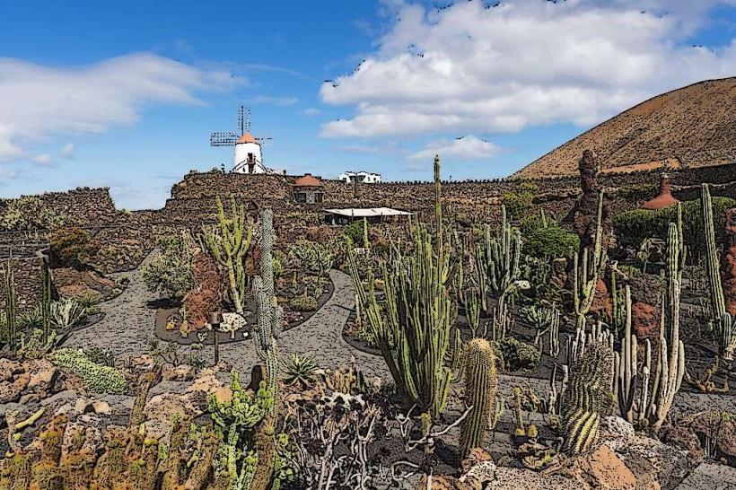
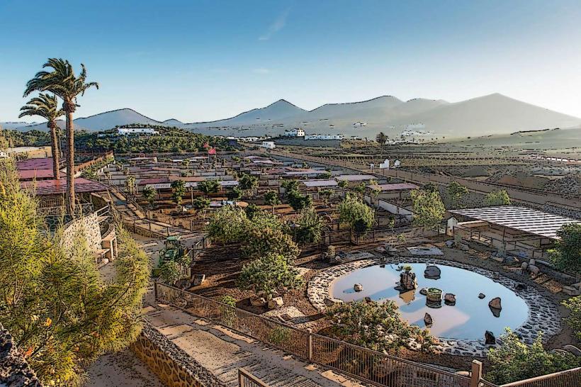
The town of San Bartolomé is characterized by traditional Canarian architecture, featuring predominantly white-washed buildings with green or brown wooden elements. Structures are typically low-rise, often one or two stories, reflecting a functional and vernacular style. The surrounding landscape is defined by the arid, volcanic terrain of central Lanzarote, with cultivated fields of vines and crops contrasting with dark volcanic soil and distant volcanic cones.
Location & Access Logistics
San Bartolomé is centrally located on Lanzarote, approximately 7 kilometers west of the island's capital, Arrecife. It is accessible via the LZ-20 road, which connects Arrecife to the interior, and the LZ-30, which runs north-south through the agricultural region. Public parking is available in designated areas around the town center, particularly near the church and municipal buildings. Local bus services (e.g., Line 20, Line 21, Line 22) connect San Bartolomé with Arrecife and other key towns on the island.
Historical & Ecological Origin
The settlement of San Bartolomé dates back to the 15th century, growing around the church dedicated to Saint Bartholomew. Its original purpose was primarily agricultural, serving as a hub for farming in the fertile central plains of Lanzarote. The municipality's development is intrinsically linked to the island's volcanic geology, with the rich, dark soil (picón) from past eruptions proving highly suitable for specific agricultural practices, particularly viticulture and cultivation of onions and potatoes.
Key Highlights & Activities
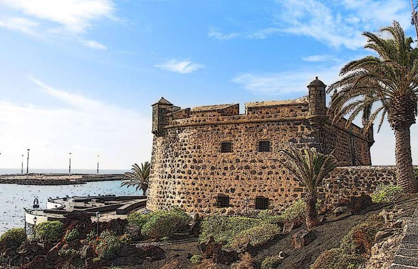
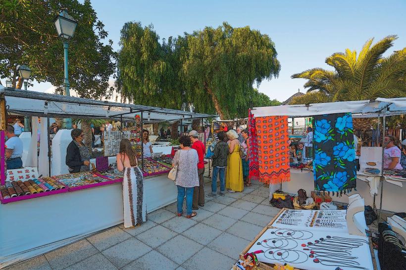
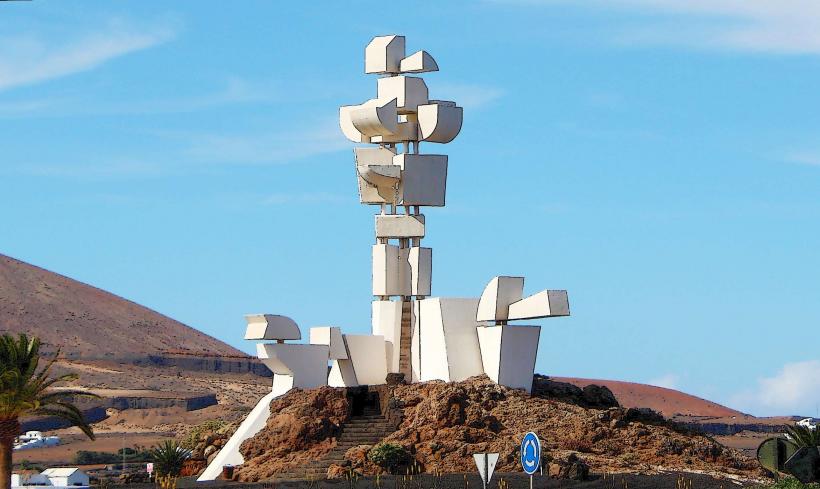
Visitors can explore the Iglesia de San Bartolomé, the town's main church, and the adjacent Casa Mayor Guerra, a historic manor house. The Monumento al Campesino (Monument to the Peasant), designed by César Manrique, is located just outside the town and includes an ethnographic museum. The Museo Etnográfico Tanit, housed in a traditional 18th-century building, offers insights into rural Canarian life. Local markets occasionally operate in the town square.
Infrastructure & Amenities
Public restrooms are available in the main square and within the museums. Shade is provided by buildings and some trees in public spaces. Cell phone signal (4G/5G) is generally strong throughout the town. Several local restaurants, cafes, and small grocery stores are present, offering food and beverage options.
Best Time to Visit
The best time to visit San Bartolomé is during the cooler months from October to May, when temperatures are mild and pleasant for walking and exploring. The town experiences consistent sunshine year-round. Mornings are ideal for photography, offering softer light on the white architecture and volcanic landscapes. The annual patron saint festivities in August provide a cultural experience.
Facts & Legends
San Bartolomé is known as the "agricultural heart" of Lanzarote due to its fertile plains and traditional farming methods. A local tradition involves the "Lucha Canaria," a form of Canarian wrestling, which is still practiced and celebrated in the municipality. The town's strategic central location historically made it a significant point for trade and communication across the island.
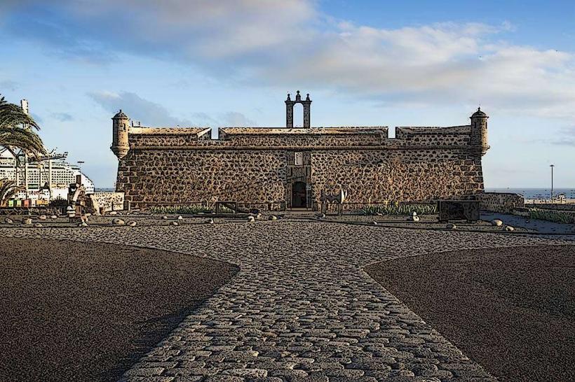
Nearby Landmarks
- Monumento al Campesino: 1.5km West
- Fundación César Manrique: 4km North-East
- El Grifo Bodega: 5km South-West
- Museo Agrícola El Patio: 6km South