Information
Landmark: Santa Lucía de TirajanaCity: Gran Canaria
Country: Canary Islands
Continent: Europe
Santa Lucía de Tirajana, Gran Canaria, Canary Islands, Europe
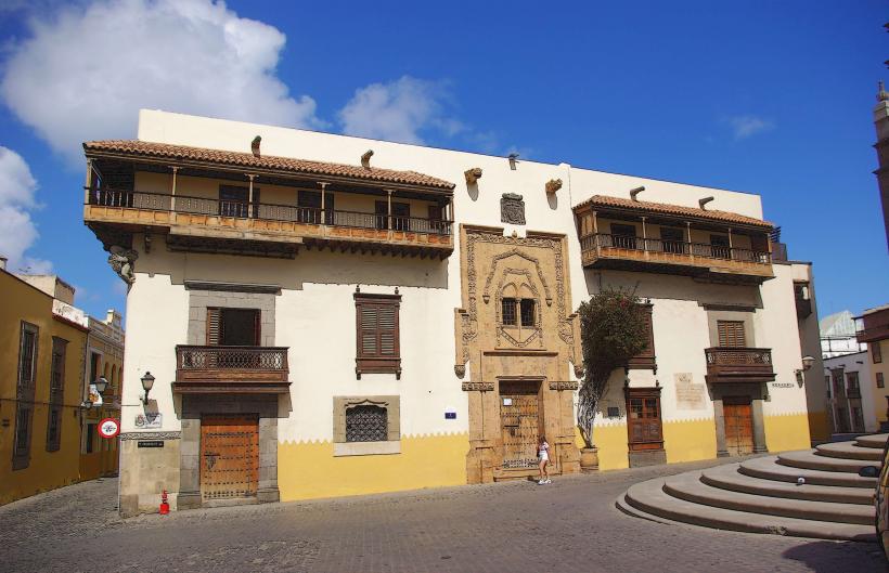
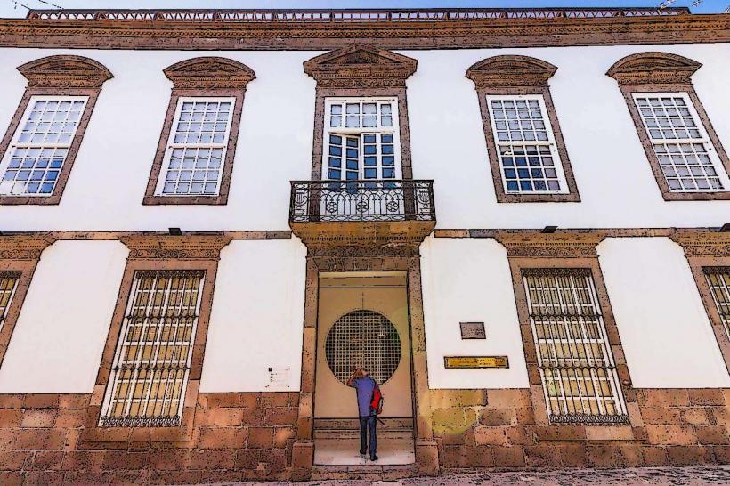
Santa Lucía de Tirajana is a historic town and municipality situated in the south-central interior of Gran Canaria, Canary Islands. It is characterized by its traditional Canarian architecture set within a mountainous valley landscape.
Visual Characteristics
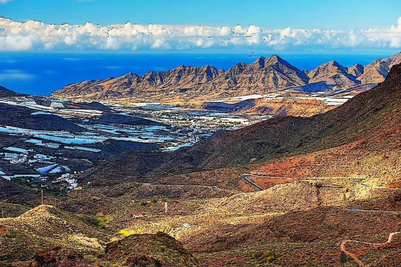
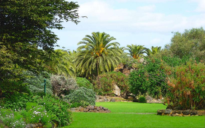
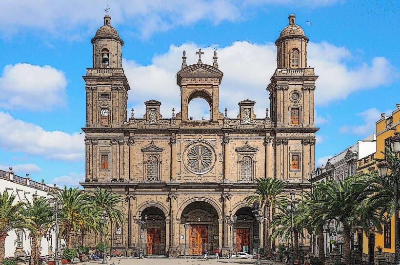
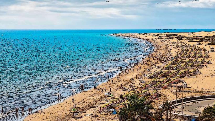
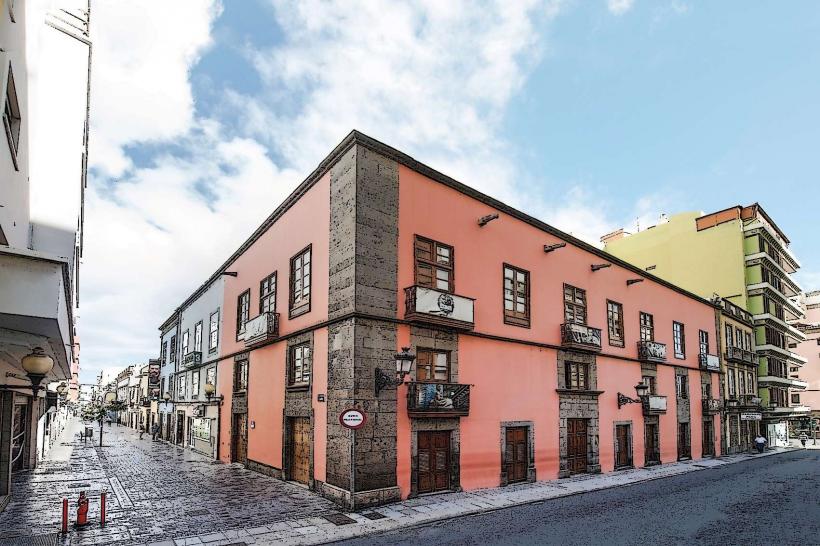
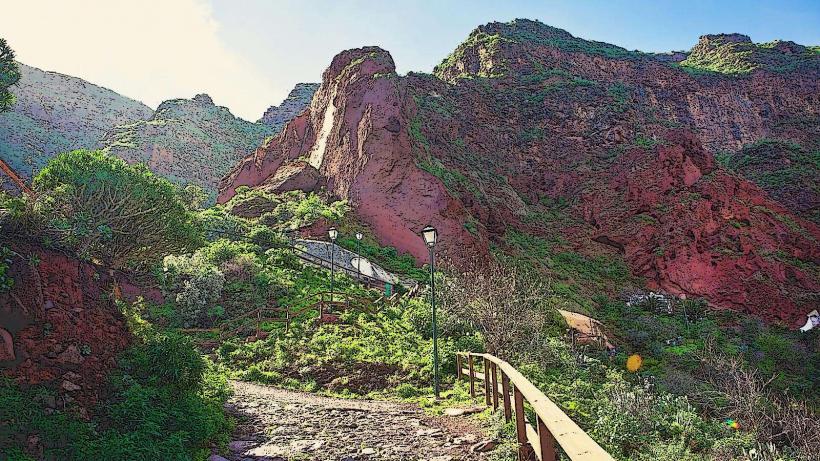
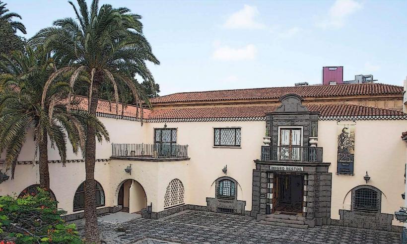
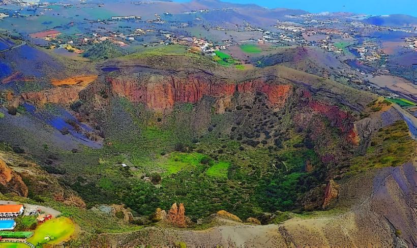
The town of Santa Lucía de Tirajana features whitewashed houses with red-tiled roofs, often adorned with wooden balconies. The central church, Iglesia de Santa Lucía, is a prominent structure with a white facade and a bell tower. The surrounding landscape is dominated by volcanic rock formations, terraced agricultural fields, and extensive palm groves, particularly the Palmeral de Santa Lucía, which is one of the largest in Gran Canaria. The elevation provides panoramic views of the Tirajana caldera.
Location & Access Logistics
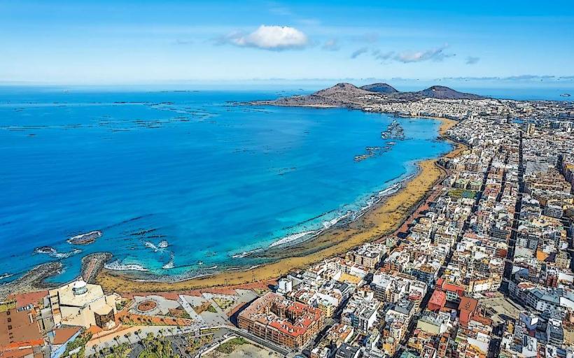
Santa Lucía de Tirajana is located approximately 45 kilometers south of Las Palmas de Gran Canaria and 25 kilometers northeast of Maspalomas. Access is primarily via the GC-65 road, which connects from the GC-60 (from Fataga/Maspalomas) or the GC-500 (from Vecindario/coast). Parking is available in designated street areas and small public lots within the town center. Public transport options are limited; bus line 34 (Global) connects Santa Lucía with Vecindario, offering infrequent services.
Historical & Ecological Origin
The town's origins date back to the 15th century following the Castilian conquest, with the church consecrated in 1898. Its original purpose was an agricultural settlement, strategically located in a fertile valley. Ecologically, the municipality is part of the Caldera de Tirajana, a large erosion caldera formed by volcanic activity. The area is characterized by xerophytic vegetation adapted to arid conditions, alongside the cultivated palm groves and fruit orchards.
Key Highlights & Activities
Visitors can explore the historic town center, including the Iglesia de Santa Lucía. The Museo del Gofio offers insights into traditional Canarian cuisine. Hiking trails are accessible from the town, leading into the surrounding mountains and valleys, such as routes towards La Fortaleza or the Barranco de Tirajana. Photography opportunities are abundant, especially from viewpoints overlooking the caldera.
Infrastructure & Amenities
The town of Santa Lucía de Tirajana provides basic amenities. Restrooms are available in local establishments. Several small restaurants and cafes offer traditional Canarian food. There are a few local shops for provisions. Shade is primarily found under trees in public squares or within buildings. Cell phone signal (4G/5G) is generally reliable within the town center.
Best Time to Visit
The best time to visit is during the cooler months from October to May, when temperatures are mild and suitable for walking and hiking. Mornings offer the best light for photography of the town and surrounding landscapes, with the sun illuminating the valley. The annual Fiesta de Santa Lucía in December is a significant local event, though it can attract larger crowds.
Facts & Legends
A local tradition states that the Palmeral de Santa Lucía contains one palm tree for every inhabitant of the municipality. The nearby archaeological site of La Fortaleza is believed to have been one of the last strongholds of the indigenous Canarian people during the Castilian conquest, offering a glimpse into pre-Hispanic life and resistance.
Nearby Landmarks
- La Fortaleza de Ansite: 3.5km South-East
- Barranco de Tirajana: 2km North-East (entrance to hiking trails)
- Mirador de la Sorrueda: 4km South
- Presa de La Sorrueda (reservoir): 4.5km South