Information
Landmark: Scotts Bluff National MonumentCity: Scottsbluff
Country: USA Nebraska
Continent: North America
Scotts Bluff National Monument, Scottsbluff, USA Nebraska, North America
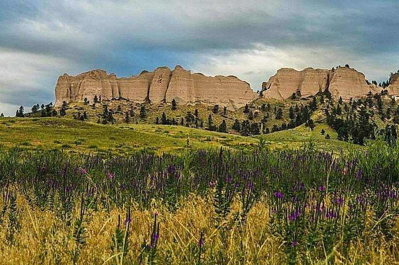
Scotts Bluff National Monument is a prominent geological formation located in western Nebraska, USA, near the city of Scottsbluff.
Visual Characteristics
The monument features several distinct sandstone and volcanic ash bluffs rising approximately 400 to 800 feet above the surrounding North Platte River valley. The primary formations include Eagle Rock, Sentinel Rock, and the main Scotts Bluff. The rock faces exhibit layered strata in shades of tan, brown, and gray, with vegetation primarily consisting of prairie grasses and scattered ponderosa pines at higher elevations.
Location & Access Logistics
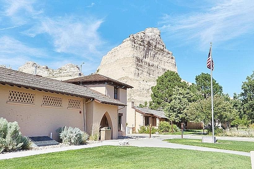
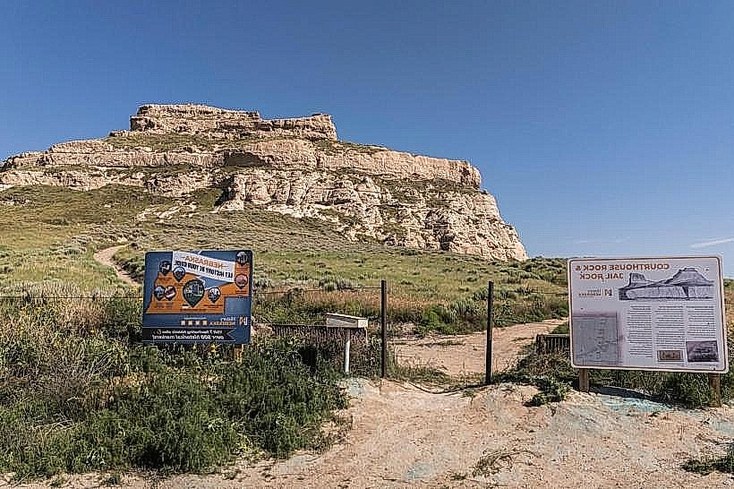
Scotts Bluff National Monument is situated approximately 14 miles west of Scottsbluff, Nebraska, accessible via U.S. Highway 26. The main entrance is located off Highway 26. A paved road, the Summit Road, ascends to the top of the bluffs, offering access to overlooks and trailheads. Parking is available at the Visitor Center and at designated pull-offs along Summit Road. Public transportation is not available directly to the monument; private vehicle is the primary mode of access.
Historical & Ecological Origin
The bluffs are sedimentary rock formations, primarily composed of Brule Formation claystone and Gering Formation sandstone, deposited by ancient rivers and wind over millions of years. They were shaped by erosion from wind and water. Historically, these bluffs served as a significant landmark for emigrants traveling the Oregon Trail, California Trail, and Mormon Trail in the 19th century. The monument was established in 1919.
Key Highlights & Activities
Activities include hiking designated trails such as the Saddle Rock Trail (1.6 miles roundtrip, moderate difficulty) and the Summit Trail (0.2 miles, paved, accessible). The Visitor Center offers exhibits on the natural and cultural history of the area. Driving the Summit Road provides access to panoramic views. Photography is a common activity, particularly during sunrise and sunset.
Infrastructure & Amenities
Restrooms are available at the Visitor Center and at designated points along Summit Road. Shade is limited on the trails and at overlooks, with some provided by trees near the Visitor Center. Cell phone signal (4G/5G) is generally available at the Visitor Center and along Summit Road, but can be intermittent on trails. No food vendors are located within the monument; visitors should bring their own provisions.
Best Time to Visit
The best time of day for photography is during the early morning or late afternoon when the low sun angle creates shadows and highlights the rock formations. The best months for visiting are from April to October, offering milder weather. Summer months (June-August) can be hot. No tide considerations apply.
Facts & Legends
A local legend suggests that the "Scotts" in Scotts Bluff refers to a fur trader named Hiram Scott, who allegedly died of starvation near the bluffs in the 1820s after being abandoned by his companions. However, historical evidence indicates the bluffs were named by fur traders for their distinctive appearance rather than a specific individual. A unique tip for visitors is to look for the "Chimney Rock" formation visible to the southeast on clear days, another significant Oregon Trail landmark.
Nearby Landmarks
- Chimney Rock National Historic Site (19km Southeast)
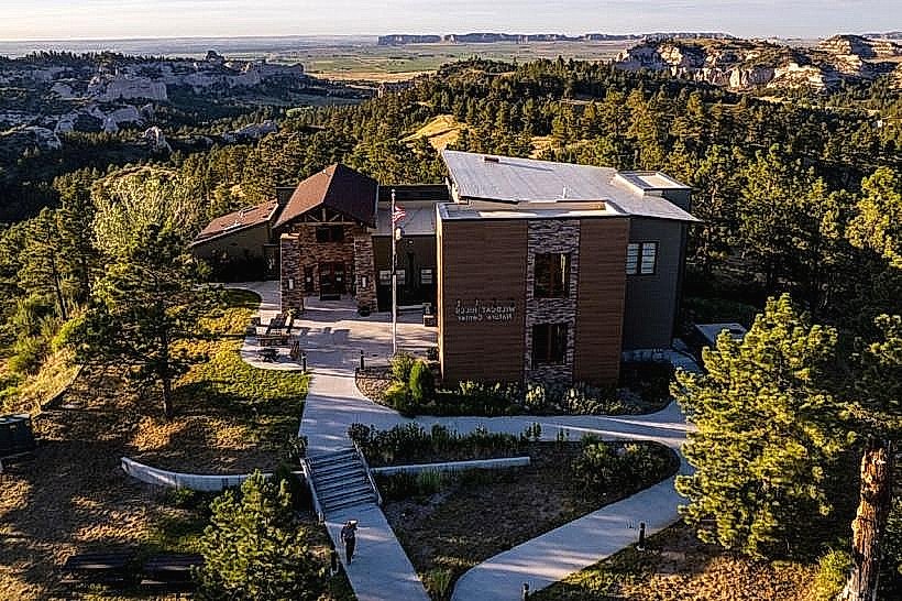
- Wildcat Hills State Recreation Area (10km Southwest)
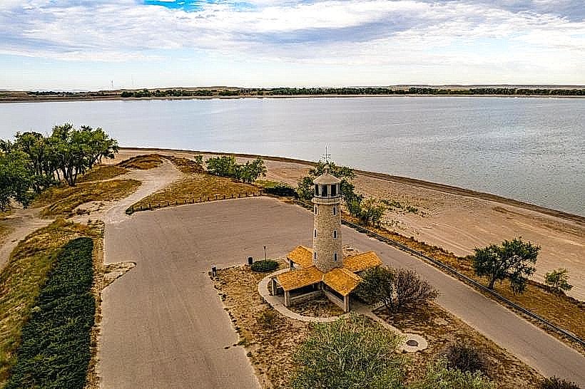
- Lake Minatare State Recreation Area (25km Northeast)
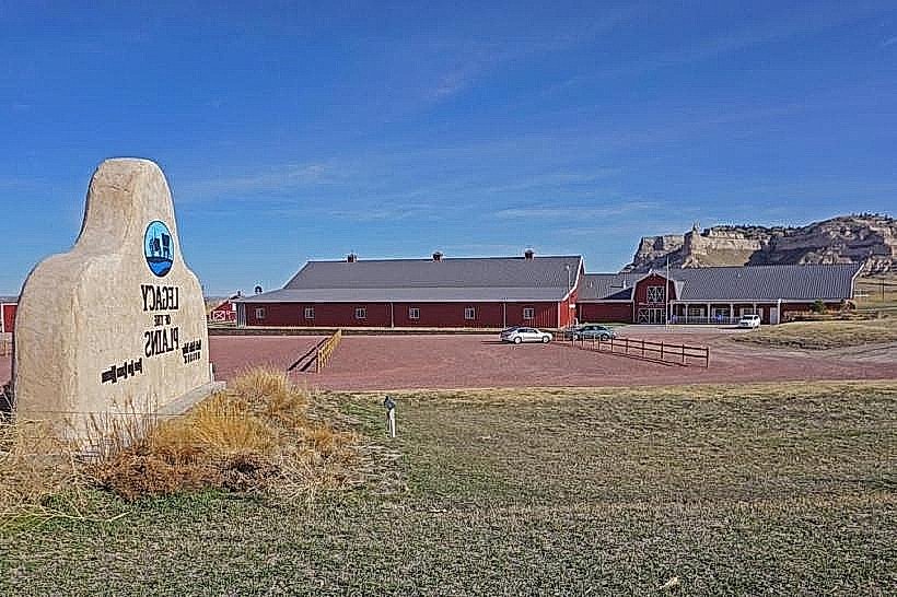
- Gering Civic Center (12km East)