Information
Landmark: Wildcat Hills State Recreation AreaCity: Scottsbluff
Country: USA Nebraska
Continent: North America
Wildcat Hills State Recreation Area, Scottsbluff, USA Nebraska, North America
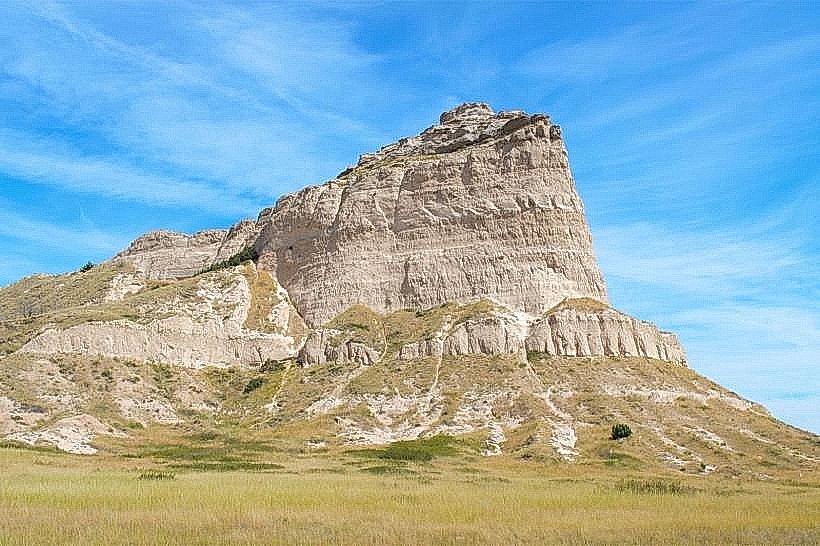
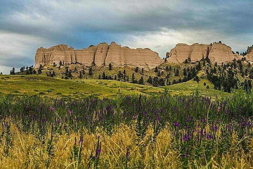
Wildcat Hills State Recreation Area is a geological formation located in Scottsbluff, Nebraska, USA.
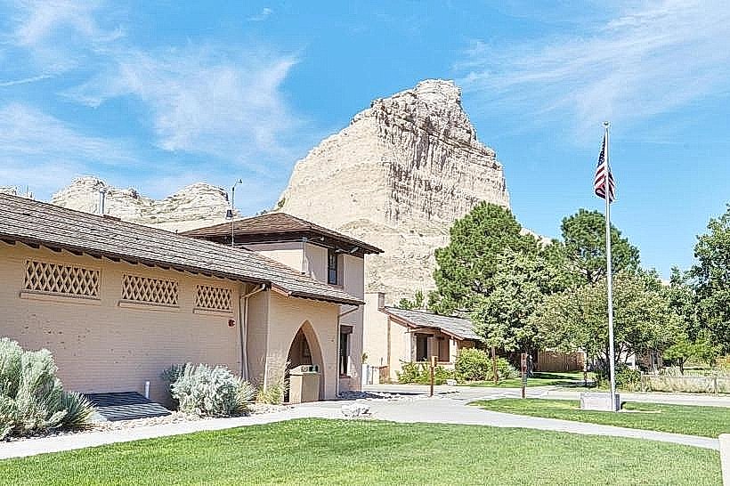
This area features prominent sandstone bluffs and canyons.
Visual Characteristics
The dominant features are steep, eroded sandstone bluffs exhibiting layers of tan, brown, and reddish-orange rock. The canyons are narrow with exposed rock faces. Vegetation consists of mixed prairie grasses, yucca, and scattered ponderosa pines, particularly on the canyon rims and north-facing slopes. The elevation ranges from approximately 4,000 feet to 4,400 feet.
Location & Access Logistics
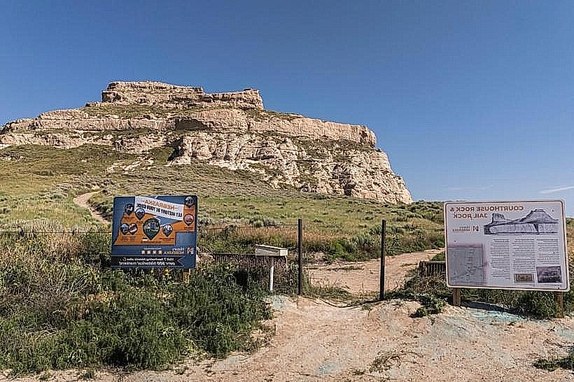
The recreation area is situated approximately 10 miles southwest of Scottsbluff, Nebraska. Access is via County Road 14 (also known as Wildcat Hills Road) which is a paved county road. The entrance is clearly marked. Parking is available at designated pull-offs and a central parking area near the main trailheads. No public transport services this location.
Historical & Ecological Origin
The bluffs are composed of Oligocene-era sedimentary rock, primarily sandstone and siltstone, formed from ancient riverbeds and wind-blown deposits. The erosion patterns are a result of wind and water action over millennia, creating the current canyon and bluff topography. The area supports a mixed-grass prairie ecosystem with some coniferous forest elements.
Key Highlights & Activities
Hiking is the primary activity, with marked trails including the 1.5-mile Wildcat Hills Nature Trail and the 2.5-mile Wildcat Hills Loop Trail. Rock climbing and rappelling are permitted in designated areas. Wildlife viewing, including mule deer and various bird species, is possible. Photography of the geological formations is a common pursuit.
Infrastructure & Amenities
Restrooms are available at the main parking area. Limited shade is provided by scattered trees along some trails. Cell phone signal is intermittent to non-existent within the canyons. No food vendors are present within the recreation area; visitors should bring their own supplies.
Best Time to Visit
For photography, early morning and late afternoon offer the best light for highlighting the rock textures and colors. The best months for hiking are April through October, avoiding extreme summer heat and winter snow. No tide considerations apply.
Facts & Legends
Local lore suggests that the canyons were used as hiding places by Native American tribes and early settlers. A specific geological feature known as "The Amphitheater" is a natural rock formation that amplifies sound.
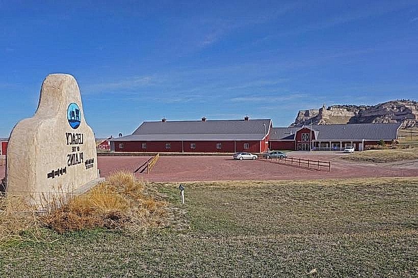
Nearby Landmarks
- Scotts Bluff National Monument (5km Northeast)
- Chimney Rock National Historic Site (25km Southeast)
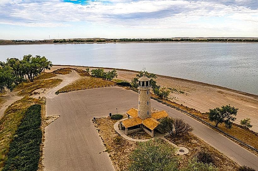
- Lake Minatare State Recreation Area (15km North)
- Gering Civic Center (7km East)