Information
Landmark: South Slough National Estuarine Research ReserveCity: Coos Bay
Country: USA Oregon
Continent: North America
South Slough National Estuarine Research Reserve, Coos Bay, USA Oregon, North America
The South Slough National Estuarine Research Reserve is an estuarine ecosystem located in Coos Bay, Oregon, USA.
It functions as a protected area for scientific research and public education concerning coastal estuarine environments.
Visual Characteristics
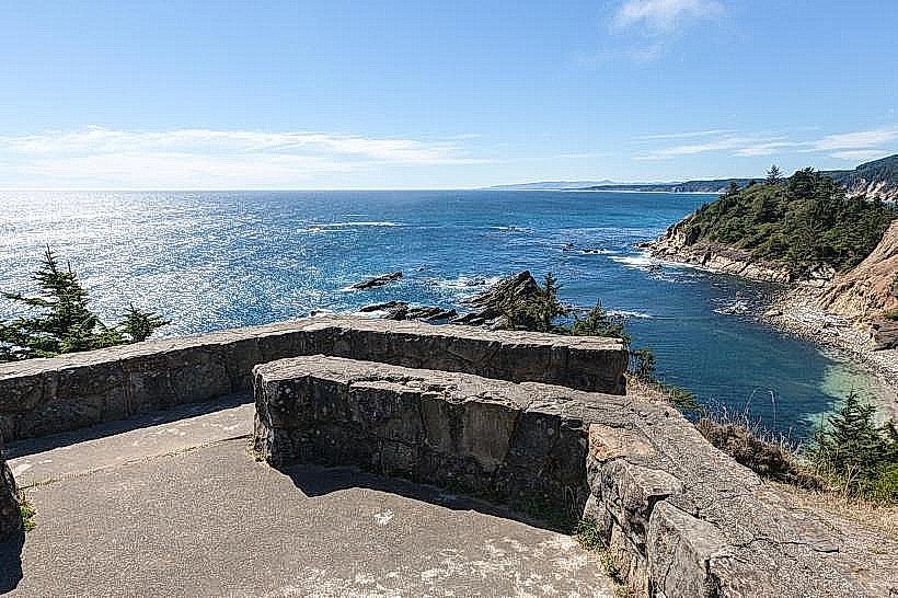
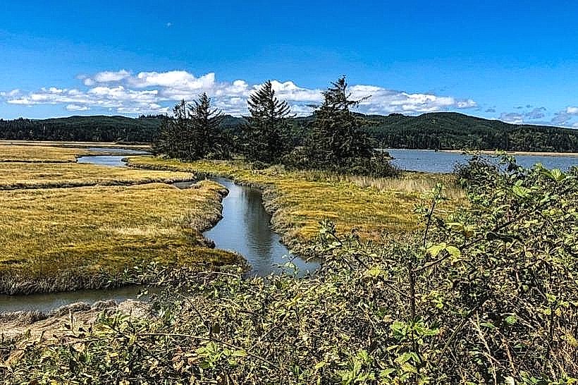
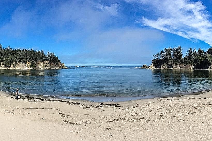
The reserve encompasses approximately 4,800 acres of diverse habitats including tidal mudflats, salt marshes, forested uplands, and open water channels. Vegetation includes various species of pickleweed, sedges, and Douglas fir. Water color varies with tidal flow and sediment load, typically appearing brackish or silty brown. Rock formations are primarily sedimentary, characteristic of coastal Oregon geology.
Location & Access Logistics
The reserve is situated approximately 5 miles south of downtown Coos Bay. Access is via Highway 101 South, turning onto Ferry Road. Follow Ferry Road for 2 miles to the reserve entrance. Ample parking is available at the main visitor center. Public transport options are limited; the Coos Bay Area Transit Route 3 bus stops near the Highway 101 and Ferry Road intersection, requiring an additional 2-mile walk.
Historical & Ecological Origin
The South Slough was designated a National Estuarine Research Reserve in 1974. Ecologically, it is a geologically young estuarine system formed by the Holocene transgression, where rising sea levels inundated a river valley. The area has been utilized by indigenous peoples for millennia and later by European settlers for resource extraction.
Key Highlights & Activities
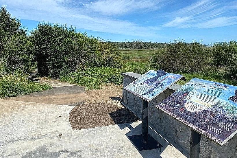
Activities include hiking designated trails, birdwatching, kayaking or canoeing on the slough (launch points available), and educational programs. Specific trails include the 1.5-mile South Slough Trail and the 0.5-mile Interpretive Boardwalk. Wildlife observation is a primary focus.
Infrastructure & Amenities
The reserve features a visitor center with restrooms and educational exhibits. Limited shade is available along some trails. Cell phone signal (4G/5G) is intermittent within the reserve, particularly in lower-lying areas. No food vendors are present within the reserve; visitors should bring their own provisions.
Best Time to Visit
For optimal wildlife viewing, early morning and late afternoon are recommended. The best months for weather are typically July through September, offering drier conditions. Tidal charts should be consulted for kayaking and exploring mudflats; low tide exposes more mudflat habitat.
Facts & Legends
A unique aspect of the South Slough is its role as a living laboratory for studying the impacts of climate change on estuarine systems. Historically, the area was a significant site for oyster cultivation in the early 20th century.
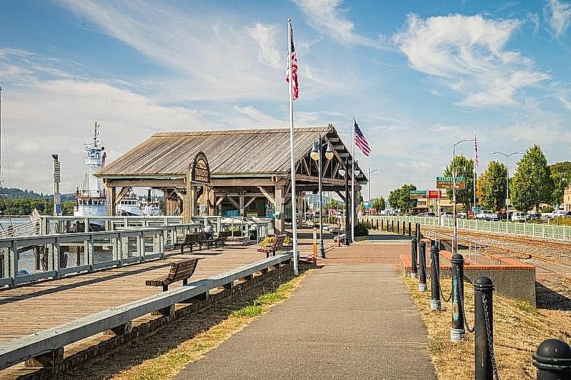
Nearby Landmarks
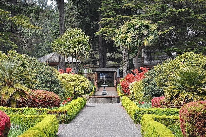
- Shore Acres State Park (2.5km North)
- Cape Arago State Park (3.0km North)
- Oregon Coast Aquarium (4.0km North)
- Charleston Marina (3.5km North)