Information
Landmark: Sunset Bay State ParkCity: Coos Bay
Country: USA Oregon
Continent: North America
Sunset Bay State Park, Coos Bay, USA Oregon, North America
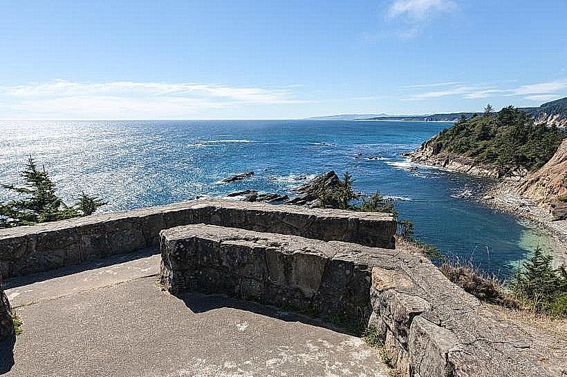
Sunset Bay State Park is a coastal park located in Coos Bay, Oregon, USA. It features a crescent-shaped bay with sandstone cliffs.
Visual Characteristics
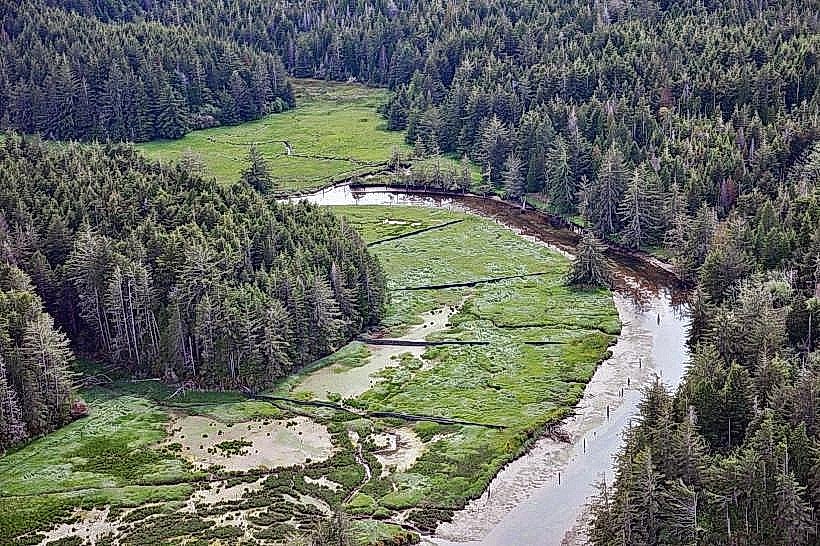
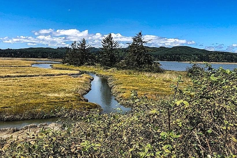
The bay is characterized by its U-shaped cove, protected by prominent sandstone headlands. The beach consists of fine, light-colored sand. The water color varies from deep blue to turquoise depending on sunlight and depth. The surrounding cliffs are composed of layered sandstone, exhibiting shades of tan, orange, and grey. Vegetation on the clifftops includes coastal grasses and coniferous trees.
Location & Access Logistics
Sunset Bay State Park is situated approximately 16 kilometers southwest of the Coos Bay city center. Access is via State Route 589 (Cape Arago Highway). The park entrance is clearly marked. A paved parking lot is available within the park, offering ample space for vehicles. Public transportation options to the park are limited; the nearest bus stop is several kilometers away, requiring a significant walk or alternative transport.
Historical & Ecological Origin
The sandstone formations at Sunset Bay are part of the Oregon Coast Range, primarily composed of Eocene and Oligocene sedimentary rocks. These rocks were formed from marine sediments deposited millions of years ago. The bay itself is a result of coastal erosion and deposition processes acting on these geological structures. The park was established to preserve this coastal environment and provide public access.
Key Highlights & Activities
Activities include beachcombing along the shoreline, tide pooling during low tide to observe marine life, and picnicking at designated areas. The park offers a boat launch for watercraft. Hiking trails are present along the clifftops, providing elevated views of the bay and coastline. Swimming is possible but conditions can be variable due to currents and wave action.
Infrastructure & Amenities
Restrooms are available within the park. Picnic tables and shelters are provided. Shade is available under the trees on the clifftops and within the picnic areas. Cell phone signal (4G/5G) is generally available, though it may be intermittent in certain areas of the park. No food vendors are located directly within the park; visitors typically bring their own provisions or access facilities in nearby Charleston or Coos Bay.
Best Time to Visit
For photography, early morning or late afternoon light offers optimal illumination of the sandstone formations. The best months for generally favorable weather are July through September, with lower rainfall and milder temperatures. Tide pooling is best during periods of extreme low tide, which occur on specific dates and times throughout the year; checking tide charts is recommended.
Facts & Legends
The sandstone cliffs are known for their distinct layering, which geologists use to study ancient depositional environments. A local anecdote suggests that the bay's shape was once believed to be the footprint of a giant sea creature, though this is unsubstantiated folklore.
Nearby Landmarks
- Shore Acres State Park (0.8km North)
- Cape Arago State Park (2.5km South)
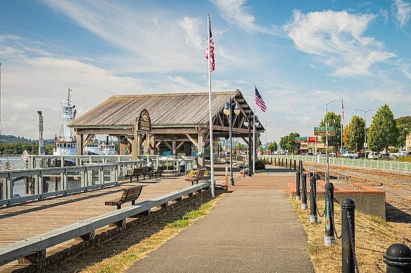
- Charleston Marina (3.0km Northwest)
- Oregon Coast Aquarium (15.0km Northwest)