Information
Landmark: Upardangari FortCity: Bhaktapur
Country: Nepal
Continent: Asia
Upardangari Fort, Bhaktapur, Nepal, Asia
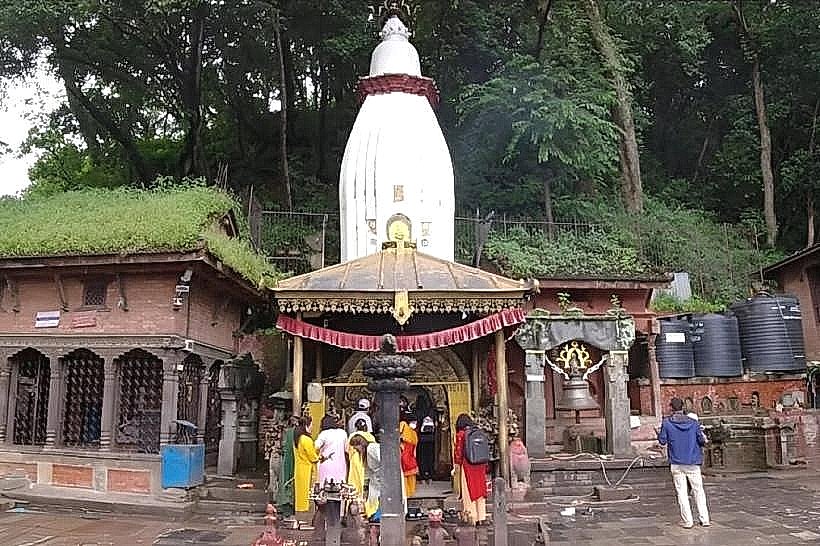
Upardangari Fort is a historic military fortification situated on a ridge in the Mahabharat Range at an altitude of approximately 1,275 meters. Located in the Ichchhakamana Rural Municipality of Chitwan District, it served as the former administrative headquarters of the region until the early 1960s.
Visual Characteristics
The fort is constructed from dry-stone masonry, featuring thick defensive walls built with local limestone and mud mortar. The structure is rectangular with circular bastions at the corners and narrow embrasures for musketry and cannons. The interior contains remains of stone barracks and administrative quarters, now mostly in ruins, surrounded by open grasslands and steep cliffs that provide natural fortification.
Location & Access Logistics
The site is located approximately 36km northeast of Bharatpur. Access involves driving to Shaktikhor via the Tandi-Shaktikhor road, followed by a steep 15km uphill trek or a 4WD vehicle ascent on a seasonal unpaved track. The final approach requires a 30-minute walk from the Upardangari village settlement. Public transport is limited to local buses from Tandi to Shaktikhor, from which private jeeps must be hired.
Historical & Ecological Origin
The fort was constructed in the late 18th century by Satrubhanjan Shah, the son of Prince Bahadur Shah, during the unification campaign of Nepal. Its strategic purpose was to defend the kingdom's southern borders and monitor movements in the Terai plains. The surrounding ecology is a mix of sub-tropical and temperate forest, serving as a habitat for various orchid species and the Spiny Babbler.
Key Highlights & Activities
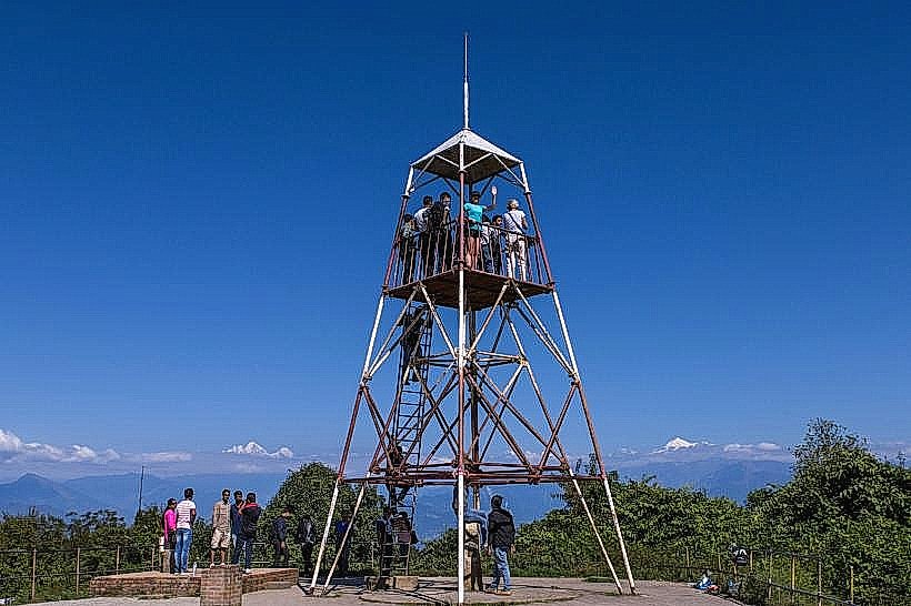
Visitors can explore the stone ruins and the central courtyard of the fortification. The site offers a 360-degree vantage point for viewing the Himalayas to the north and the Chitwan valley to the south. Hiking between the fort and the nearby Chepang villages is a primary activity for cultural immersion and birdwatching.
Infrastructure & Amenities
Infrastructure at the fort itself is minimal, consisting of a few stone benches and informational signage. Restrooms and basic lodging are only available in the nearby Upardangari village through community-run homestays. Cellular signal (4G) is functional at the summit but intermittent on the ascent trails. There are no food vendors at the fort; water and snacks must be carried from the village.
Best Time to Visit
The best months for visiting are October through March, when the skies are clear for mountain viewing. Photography is optimal at sunrise or sunset to capture the silhouette of the stone bastions against the Himalayan range. During the monsoon (June–September), the access road is frequently blocked by landslides and the trail becomes infested with leeches.
Facts & Legends
Local lore states that the fort was built using a human chain to transport stones from the riverbanks thousands of feet below in a single day. A verified historical oddity is that despite its military design, the fort never saw active combat; its presence alone served as a sufficient deterrent against territorial incursions during the Anglo-Nepal War period.
Nearby Landmarks
Shiraichuli Hill – 3.5km Northwest
Chepang Village (Hattibang) – 5.2km North
Shaktikhor Bazaar – 15.0km South
Siraichuli Waterfall – 4.1km West
Hugdi Khola – 6.0km East