Information
Landmark: Waimea BayCity: Honolulu
Country: USA Hawaii
Continent: North America
Waimea Bay, Honolulu, USA Hawaii, North America
Waimea Bay is a prominent beach located on the North Shore of Oahu, Hawaii, USA. It is recognized for its significant wave action during winter months and its calmer conditions in summer.
Visual Characteristics
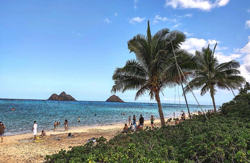
The bay features a crescent-shaped beach composed of coarse, light-colored sand. The water color varies from deep blue to turquoise depending on sunlight and depth. Rocky outcrops are present at either end of the bay, and vegetation, primarily tropical trees and shrubs, borders the sand.
Location & Access Logistics
Waimea Bay is situated approximately 35 miles (56 km) northwest of Honolulu's city center. Access is via Kamehameha Highway (State Route 99). Parking is available in a designated lot adjacent to the highway, which fills rapidly during peak times. Public transport options include TheBus routes 60 and 60A, which stop near the bay.
Historical & Ecological Origin
The bay is a natural geological formation, part of the Oahu coastline shaped by volcanic activity and erosion. Historically, it served as a significant location for Hawaiian voyagers and later became a focal point for the development of surfing culture.
Key Highlights & Activities
During summer months (approximately May to September), the bay is suitable for swimming and snorkeling due to calmer seas. Cliff jumping from the rock formation on the western side is a common activity when conditions permit. In winter (approximately November to February), the bay is known for its large surf, attracting professional surfers and spectators.
Infrastructure & Amenities
Restrooms are available at the Waimea Bay Beach Park. Shade is provided by mature trees along the perimeter of the beach. Cell phone signal (4G/5G) is generally available. Food vendors are not typically present directly at the bay, but nearby Haleiwa town offers dining options.
Best Time to Visit
For swimming and calm water activities, visit between May and September. For observing large surf, the winter months (November to February) are optimal. Mid-morning offers good lighting for photography, avoiding harsh midday sun.
Facts & Legends
Local legend states that the Menehune, a mythical race of small people, created the stone bridge that sometimes appears across the mouth of Waimea River during extreme low tides. This bridge is a natural phenomenon, not a man-made structure.
Nearby Landmarks
- Waimea Valley (0.8km West)
- Pupukea Beach Park (2.5km East)
- Shark's Cove (3.0km East)
- Ehukai Beach (Banzai Pipeline) (3.5km East)
- Sunset Beach (4.5km East)