Information
City: Montgomery CountyCountry: USA Maryland
Continent: North America
Montgomery County, USA Maryland, North America
Montgomery County is an independent county in Maryland, situated directly north of Washington, D.C. It is defined by its status as one of the most affluent and highly educated counties in the United States, its role as a global epicenter for federally funded medical research, and its stark geographic divide between high-density urban corridors and protected agricultural reserves.
Historical Timeline
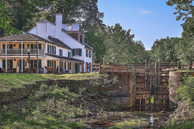
Inhabited by the Piscataway and Susquehannock peoples. Primary governance eras include its 1776 founding and its 19th-century role as a provider of agricultural goods to the capital. A critical historical event was the post-WWII expansion of the federal government, which relocated agencies like the NIH and FDA to the county, triggering an immense population surge. In the 1980s, the county implemented the Agricultural Reserve, a landmark land-use policy that preserved 93,000 acres (one-third of the county) from development. The 21st century has been characterized by "transit-oriented development" in Bethesda and Silver Spring and the emergence of the "Great Seneca" life sciences hub.
Demographics & Population
The population is approximately 1.05 million. The demographics are White (40%), Hispanic or Latino (21%), Black or African American (20%), and Asian (16%). It is a majority-minority county and a primary destination for international immigrants, housing one of the highest concentrations of PhDs per capita in the world.
Urban Layout & Key Districts
The county is organized along major transit "spines" (I-270 and MD-355) that transition from urban to rural.
Bethesda: A high-density urban center known for its corporate headquarters, luxury retail, and the National Institutes of Health.
Silver Spring: A diverse, vibrant urban core bordering D.C., serving as a hub for media, non-profits, and the arts.
Rockville: The county seat; a major commercial and life-sciences corridor and home to one of the largest Chinese-American communities in the East.
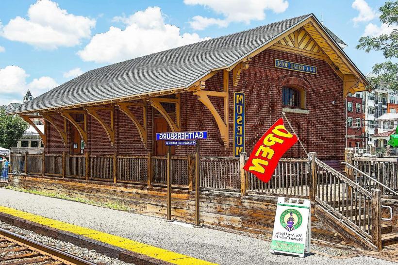
Gaithersburg: A hub for biotechnology (AstraZeneca, Novavax) and the National Institute of Standards and Technology (NIST).
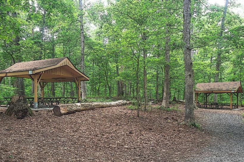
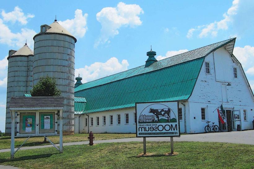
The Agricultural Reserve: A massive rural zone in the northern and western sections, defined by equestrian farms, orchards, and low-density housing.
Top Landmarks
National Institutes of Health (NIH): The world’s largest biomedical research agency, located on a 300-acre campus in Bethesda.
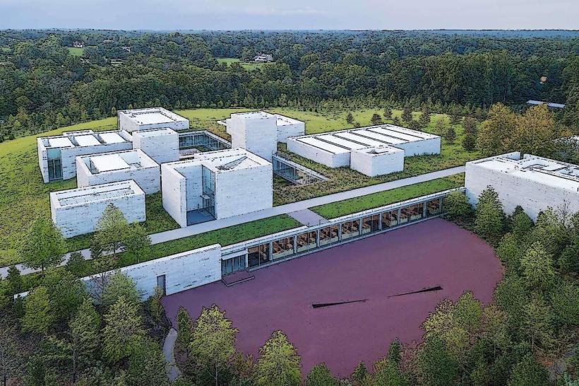
Glenstone: A premier private contemporary art museum in Potomac, known for its integration of art, architecture, and landscape.
The Music Center at Strathmore: A world-class acoustic concert hall and arts center in North Bethesda.
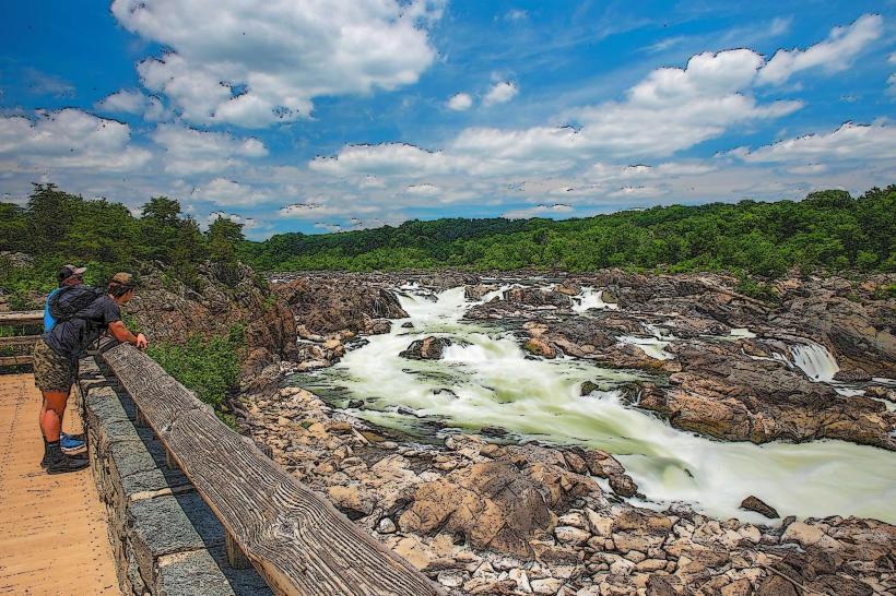
Great Falls Park (Maryland side): Featuring the Billy Goat Trail and dramatic views of the Potomac River rapids.
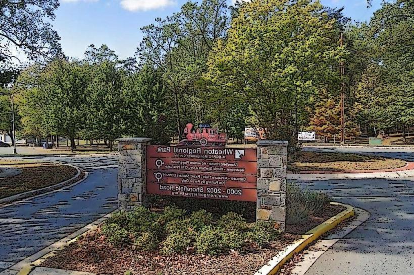
Brookside Gardens: A 50-acre award-winning public display garden within Wheaton Regional Park.
Mormon Temple (Washington D.C. Temple): An iconic architectural landmark in Kensington, visible from the I-495 Beltway.
Transportation Network
Movement is supported by the Washington Metro (Red Line), MARC Train, and the Ride On bus system. The county is a major junction for I-495 (The Beltway), I-270 (Technology Corridor), and MD-200 (ICC toll road). Commercial air service is via DCA, IAD, or BWI. Traffic density is among the highest in the U.S., particularly on I-270 and the Beltway during peak hours.
Safety & "Red Zones"
The general safety level is high. Property crime (theft from vehicles) is the most frequent issue. Caution is advised at night near certain high-density transit hubs in Wheaton and parts of Germantown due to localized incidents. There are no officially designated "red zones." Environmental hazards include high humidity and occasional "flash droughts" affecting the agricultural north.
Digital & Financial Infrastructure
Internet speeds are elite, averaging 1000+ Mbps with fiber availability via Verizon Fios and Xfinity. Main mobile carriers are Verizon and AT&T. Card acceptance is universal. ATMs are ubiquitous in all commercial hubs.
Climate & Air Quality
Temperatures range from -2°C to 6°C in winter and 22°C to 31°C in summer. The county experiences a humid subtropical climate. Air quality is generally high, though impacted by regional vehicle emissions along the I-95/I-270 corridors.
Culture & Social Norms
The standard tipping percentage is 20–25%. A professional, fast-paced "D.C. Metro" greeting is standard. Dress codes are "Business-Professional" or "Lululemon-Casual." The city is culturally defined by its "Federal" influence, its international food scene (particularly in Rockville and Wheaton), and its intense focus on public education.
Accommodation Zones
Bethesda / Chevy Chase: Recommended for luxury stays and walkable access to high-end dining.
Rockville / Gaithersburg: Recommended for business travel and access to the Life Sciences corridor.
Local Cost Index
1 Espresso: $5.25 (USD)
1 Standard Lunch: $22.00 (USD)
1 Metro Fare (Peak): $6.00.
Nearby Day Trips
Washington, D.C.: (Directly adjacent south).
Frederick, MD: (30 km north).
Sugarloaf Mountain: (Private park offering hiking and views of the Piedmont).
Facts & Legends
Montgomery County was the first in the nation to pass a ban on smoking in all workplaces (2003). Historically, it was the location where Josiah Henson (the inspiration for Uncle Tom's Cabin) was enslaved. A local legend involves the "Goatman of Bowie/Kensington," a recurring urban myth about a half-man, half-goat creature inhabiting the woods near the B&O tracks. Another legend concerns "The Lost Confederate Gold," rumored to have been buried in the Potomac River near White's Ferry during a retreat in 1864.