Information
Landmark: Great Falls Maryland SideCity: Montgomery County
Country: USA Maryland
Continent: North America
Great Falls Maryland Side, Montgomery County, USA Maryland, North America
Great Falls Maryland Side is a section of the Chesapeake & Ohio Canal National Historical Park located in Montgomery County, Maryland, USA. It features significant geological formations and historical canal structures along the Potomac River.
Visual Characteristics
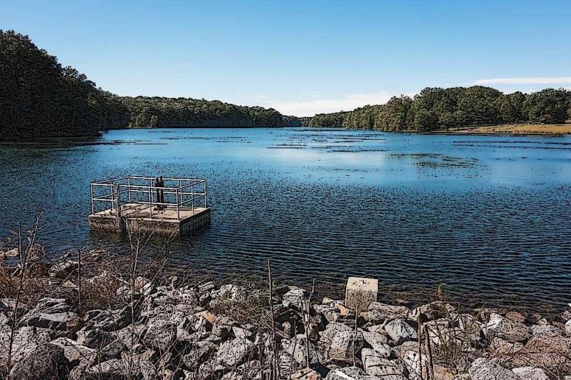
The site is characterized by the Potomac River's powerful flow over a series of rocky cascades and rapids. The riverbed consists of dark, exposed bedrock, primarily Precambrian gneiss and schist, creating a rugged appearance. The surrounding vegetation is dense deciduous forest, with mature oak, maple, and hickory trees providing canopy cover. The C&O Canal towpath runs parallel to the river, constructed from compacted earth and gravel.
Location & Access Logistics
Access is via the main entrance at 11710 MacArthur Blvd, Potomac, MD 20854. The park entrance is approximately 15 miles west of Washington D.C. via MacArthur Boulevard. Parking is available in designated lots within the park; fees apply. Public transportation options are limited; the nearest Metro station is Grosvenor-Strathmore (Red Line), requiring a taxi or rideshare for the remaining 5 miles.
Historical & Ecological Origin
The geological formations at Great Falls are the result of millions of years of erosion by the Potomac River through resistant metamorphic rock. The Chesapeake & Ohio Canal was constructed between 1828 and 1850 to provide a transportation route for goods between the Ohio River Valley and the Chesapeake Bay. The canal system, including locks and aqueducts, was engineered by various individuals, with Benjamin Wright serving as chief engineer for early sections.
Key Highlights & Activities
Observation platforms provide direct views of the falls. Hiking is permitted on the C&O Canal towpath and several marked trails, including the Billy Goat Trail (sections A, B, and C). Photography of the river and canal structures is a common activity. The park is suitable for birdwatching and nature observation.
Infrastructure & Amenities
Restrooms are available near the visitor center and parking areas. Shaded areas are present along the canal towpath and within the forested sections. Cell phone signal (4G/5G) is intermittent within the park. No food vendors are located directly within the park; visitors should bring their own provisions.
Best Time to Visit
For photography, early morning (7-9 AM) and late afternoon (4-6 PM) offer optimal lighting conditions with less direct sun glare. The best months for comfortable hiking and viewing are April through October. Water levels at the falls are generally consistent, but heavy rainfall can increase flow and turbidity.
Facts & Legends
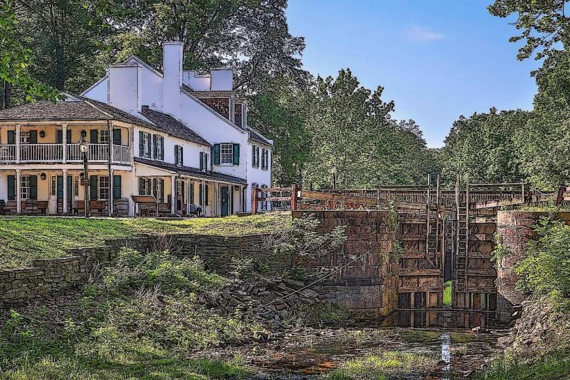
A notable historical oddity is the "Great Falls Tavern," a former lockkeeper's house that now serves as a visitor center and museum, detailing the canal's operational history. Local folklore sometimes refers to the powerful currents as being controlled by river spirits, though no specific documented legends are widely recognized.
Nearby Landmarks
- C&O Canal National Historical Park (Carderock Section) - 2.5km Southwest
- Lock 11, C&O Canal - 1.8km Southwest
- Potomac Overlook Regional Park - 3.1km Southeast
- Riverbend Park - 4.2km Northwest
- Lock 10, C&O Canal - 3.9km Southwest