Information
Landmark: Seneca Creek State ParkCity: Montgomery County
Country: USA Maryland
Continent: North America
Seneca Creek State Park, Montgomery County, USA Maryland, North America
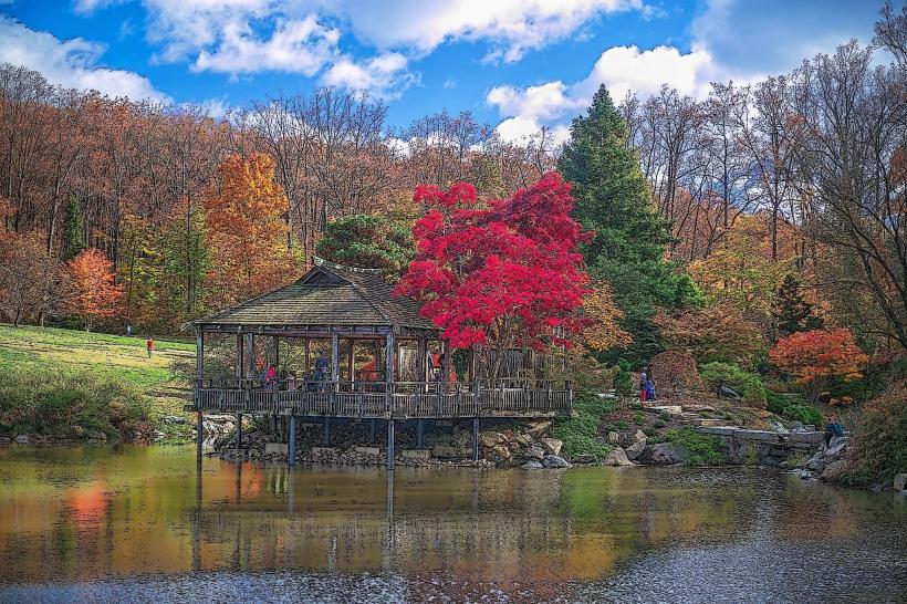
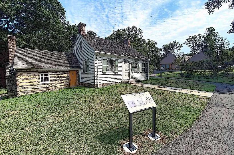
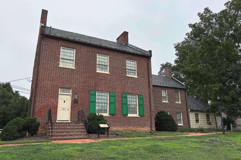
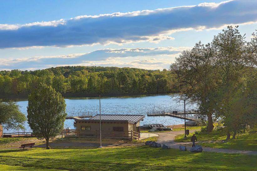
Seneca Creek State Park is a 6,300-acre protected area located in Montgomery County, Maryland. It features a diverse landscape of forests, meadows, and the Seneca Creek itself.
Visual Characteristics
The park's terrain consists of rolling hills covered in deciduous forest, primarily oak and hickory species. Seneca Creek flows through the park, with sections featuring rocky beds and slower-moving pools. The park includes open meadows and some marshy areas near the creek. The park's elevation ranges from approximately 200 to 400 feet above sea level.
Location & Access Logistics
Seneca Creek State Park is situated approximately 25 miles northwest of Washington D.C. and 10 miles west of Rockville, Maryland. Access is primarily via MD Route 28 (Darnestown Road) and MD Route 107 (Pike Road). The park has multiple entrance points and parking lots, including a main lot near the park office and smaller lots along park roads. Public transportation options are limited; the nearest bus routes do not directly serve the park's interior.
Historical & Ecological Origin
The land that now comprises Seneca Creek State Park was acquired by the Maryland Department of Natural Resources through various purchases starting in the mid-20th century. The area's ecological significance lies in its role as a habitat for various wildlife species and its contribution to the watershed of the Potomac River. The Seneca Creek itself is a tributary of the Potomac River.
Key Highlights & Activities
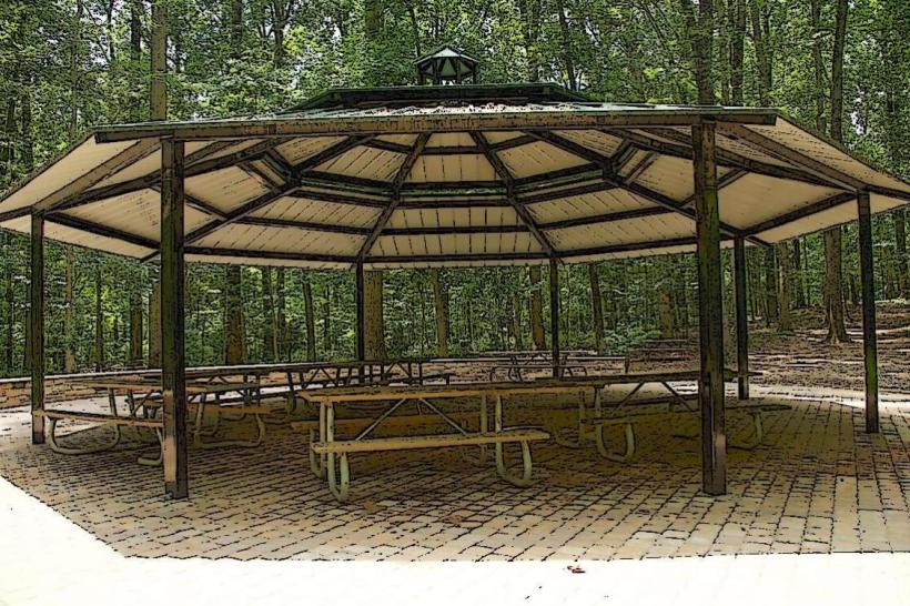
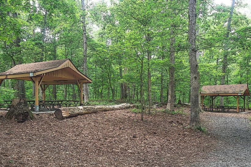
Activities include hiking on over 15 miles of marked trails, fishing in Seneca Creek (license required), boating and kayaking on the Seneca Creek Reservoir (launch ramps available), and picnicking at designated areas. The park also offers opportunities for birdwatching and wildlife observation.
Infrastructure & Amenities
Restrooms are available at the park office and several picnic areas. Shaded picnic tables are provided. Cell phone signal is generally available within the park, though it may be intermittent in more remote sections. Food vendors are not present within the park; visitors should bring their own provisions. A boat rental concession operates seasonally on the reservoir.
Best Time to Visit
For hiking and general exploration, spring (April-May) and fall (September-October) offer moderate temperatures and visible foliage changes. Summer (June-August) can be hot and humid. The Seneca Creek Reservoir is best for boating and fishing during warmer months. Early morning or late afternoon provides optimal lighting for photography, particularly in the forested areas.
Facts & Legends
The Seneca Creek Reservoir, a central feature of the park, was created by the construction of the Seneca Dam in the 1970s. An interesting historical note is the presence of remnants of old mill foundations along some of the park's trails, indicating past industrial activity in the area.
Nearby Landmarks
- Black Hill Regional Park (1.5km Northwest)
- Little Bennett Regional Park (7km North)
- Rockville Town Center (10km East)
- C&O Canal National Historical Park (12km South)
- Great Falls Park (Virginia) (18km Southwest)