Information
City: NkongsambaCountry: Cameroon
Continent: Africa
Nkongsamba, Cameroon, Africa
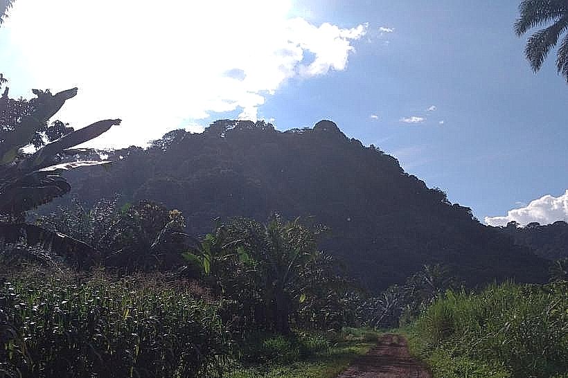
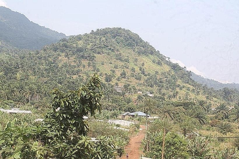
Nkongsamba serves as a primary agricultural collection center for the Littoral Region of Cameroon and functions as the historic hub of the country's coffee and banana trade. It is situated in a valley between the Manengouba and Nlonako mountains, located approximately 145 kilometers north of Douala.
Historical Timeline
The city was established as a military and administrative outpost by the German colonial administration in 1912. Primary eras of governance include German Kamerun, the French mandate/trusteeship, and the post-independence era. The most significant architectural and infrastructure development occurred during the 1920s with the completion of the "Nord" railway line from Douala. The primary event shaping its current urban form was the mid-20th-century coffee boom, which saw the city become the third-largest in the country before the subsequent economic shift toward Douala and Yaoundé.
Demographics & Population
The metropolitan area contains approximately 110,000 residents. The top three ethnic demographics are the Mbo, Bamiléké, and Tikar. The median age of the population is 18.7 years.
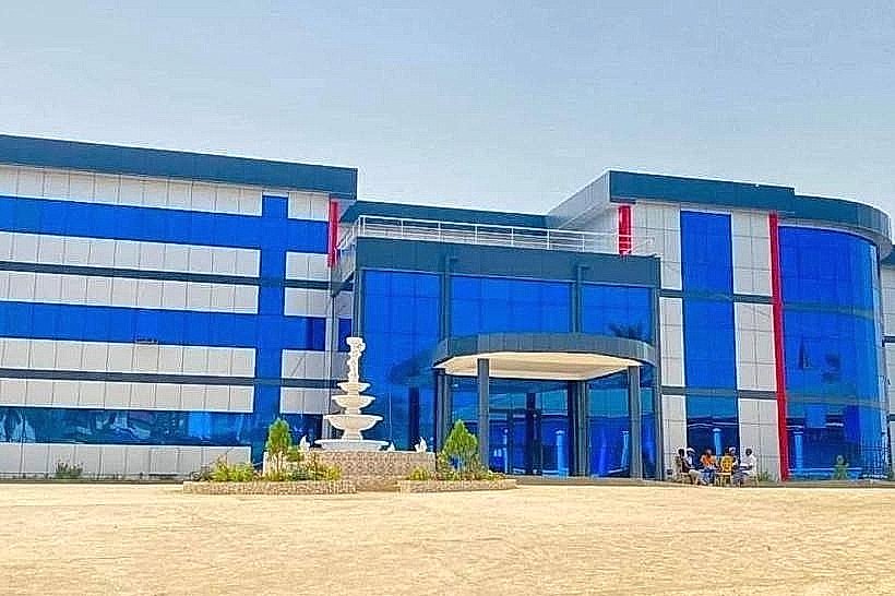
Urban Layout & Key Districts
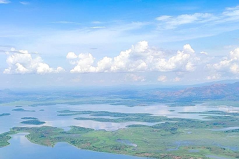
The city is organized along a central axis defined by the old railway line and the N5 highway. Key districts include the Center Ville (Commercial and historic core) and the administrative district near the "Préfecture." The town is physically bounded by the steep volcanic slopes of Mount Manengouba to the west and Mount Nlonako to the east.
Top City Landmarks
Ekom-Nkam Waterfalls (nearby)
The Old German Railway Station
Cathedral of the Immaculate Conception
Mount Manengouba (Twin Lakes trailhead)
The Nlonako Forest Reserve
Transportation Network
Movement within the city relies on motorcycle taxis (Benskins) and yellow shared taxis. There is no operational metro or rail system (the historic rail line is defunct). Official taxis are yellow. Traffic density is low, though heavy truck traffic is frequent on the N5 highway. Long-distance transit is managed by bus agencies located at the city entrances.
Safety & "Red Zones"
The general safety level is moderate. Petty crime occurs in the central market areas. Avoid the peripheral mountain trails after dark without a local guide. There are no designated "red zones," but standard caution is advised in the dense residential quarters of the lower town at night.
Digital & Financial Infrastructure
Average internet speed is 10-15 Mbps (4G). Main mobile carriers are MTN, Orange, and Nexttel. Card acceptance is extremely low; the economy is cash-based (XAF). ATMs are available at bank branches (BICEC, Afriland) located along the main road.
Climate & Air Quality
Temperatures range from 18°C to 28°C. The city has a humid tropical climate influenced by its altitude. Air quality is generally high due to surrounding forests and elevation, though smoke from agricultural burning can affect the area during the dry season (December–February).
Culture & Social Norms
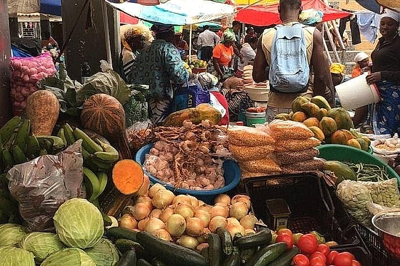
Tipping is not mandatory but 500 XAF is appreciated. Handshakes are the standard greeting. Dress code is informal but modest. Social life is heavily influenced by the seasonal cycles of the coffee and cocoa harvests. Public behavior is generally conservative and centered around the market and church activities.
Accommodation Zones
Center Ville: Recommended for logistical access to banks, transport agencies, and local dining.
Manengouba Foothills: Recommended for quieter surroundings and proximity to eco-tourism trails.
Local Cost Index
1 Espresso: 1,000 XAF ($1.63)
1 Standard Lunch: 3,500 XAF ($5.70)
1 Metro/Bus Ticket: 250 XAF ($0.41) - (Standard shared taxi fare)
Nearby Day Trips
Ekom-Nkam Falls (30 km)
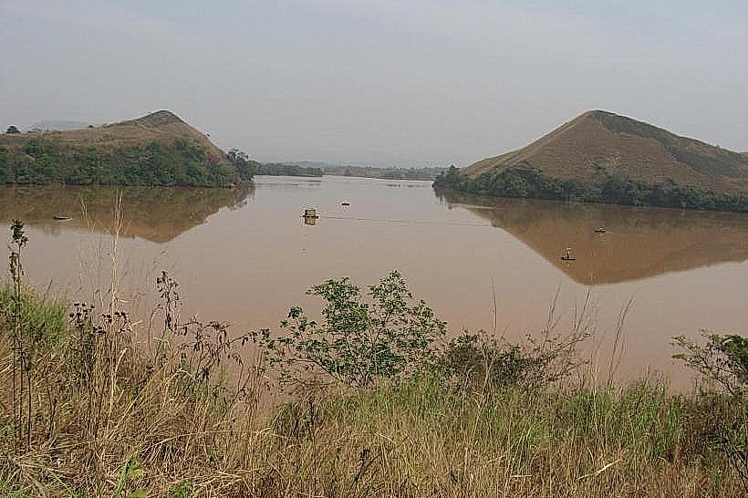
Twin Lakes of Manengouba (25 km)
Melong (15 km)
Santchou Plain (20 km)
Facts & Legends
A verified historical oddity is that the Ekom-Nkam Waterfalls served as a primary filming location for the 1984 movie Greystoke: The Legend of Tarzan, Lord of the Apes. Local legend speaks of the "Twin Lakes" of Manengouba; the Male lake (green) and Female lake (blue) are said to never mix their waters, and traditional priests perform rituals at the banks to appease the spirits of the mountain who are believed to control the regional rainfall and soil fertility.