Information
Landmark: Mount NlonakoCity: Nkongsamba
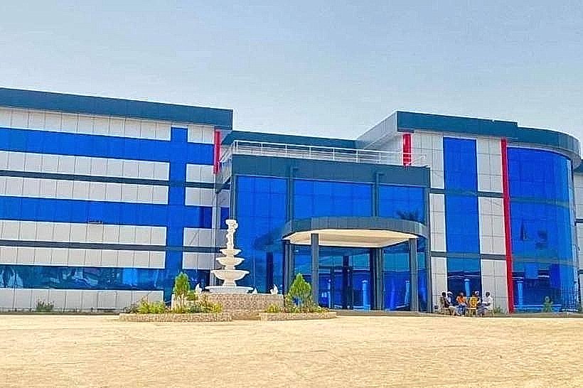
Country: Cameroon
Continent: Africa
Mount Nlonako, Nkongsamba, Cameroon, Africa
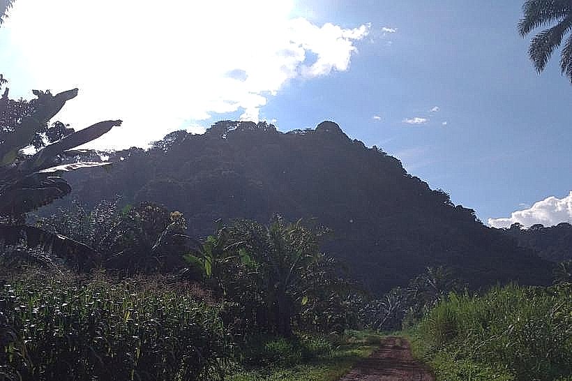
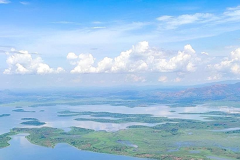
Mount Nlonako rises sharply above the coastal plains of southwestern Cameroon, a steep, forest-covered massif that feels both imposing and withdrawn. Located near the towns of Loum and Nkongsamba, it forms part of the wider Cameroon Volcanic Line and stands apart from surrounding hills by its height, slopes, and persistent cloud cover.
Physical Profile and Setting
Mount Nlonako reaches approximately 1,800 metres above sea level, with a compact, almost abrupt shape. Unlike broad volcanic plateaus, Nlonako climbs quickly, its flanks cut by deep gullies and narrow ridges. From the lowlands, the mountain often appears half-hidden, wrapped in mist that clings to its upper slopes for much of the day. This constant moisture feeds dense forest and gives the mountain a cool, shadowed presence even in the dry season.
Forests and Vegetation
The slopes of Mount Nlonako are covered in montane and sub-montane rainforest, transitioning from taller lowland trees at the base to moss-laden forest higher up. Ferns, lianas, and epiphytes hang heavily from branches, and fallen leaves soften the ground underfoot. The forest feels layered and enclosed, with limited long-distance views, replaced instead by close-range details: damp bark, filtered light, and the sound of insects and birds moving unseen.
Wildlife and Ecological Importance
Mount Nlonako is considered an important ecological zone, supporting a range of endemic and forest-dependent species. While large mammals are rarely encountered, the area is known for birdlife, amphibians, and small primates adapted to high-humidity conditions. The mountain’s relative isolation has allowed much of its biodiversity to persist, though pressure from farming and logging on lower slopes is increasingly visible.
Human Presence and Use
Communities around Mount Nlonako rely on its lower slopes for agriculture, growing crops such as plantains, cocoyams, and maize in small clearings. Higher elevations remain largely uninhabited, regarded with quiet respect rather than active use. The mountain is not a major pilgrimage or tourism site; its role is practical and environmental rather than symbolic, influencing rainfall patterns and water sources for surrounding villages.
Hiking and Access
There are no formal hiking trails or marked routes on Mount Nlonako. Exploration is possible but demanding, requiring local knowledge, good physical condition, and respect for changing weather. Mist can reduce visibility quickly, and steep, slippery ground makes slow progress necessary. Reaching higher viewpoints is less about panoramic reward and more about the experience of moving through dense, living forest.
Overall Impression
Mount Nlonako is not a mountain that reveals itself easily. It offers no grand summit plateau or dramatic crater, but instead a sustained sense of depth and enclosure. Its presence is felt through cool air, persistent cloud, and dense vegetation rather than through spectacle. For those drawn to quiet, forested highlands and landscapes shaped by moisture and time, Mount Nlonako stands as one of Cameroon’s most understated and atmospheric peaks.