Information
City: UsulutanCountry: El Salvador
Continent: North America
Usulutan, El Salvador, North America
Usulután is the capital of the Usulután Department and the fifth-largest city in El Salvador. Located in the country's southeastern coastal plain, it serves as a critical agricultural and commercial center for the "lowlands" (tierra caliente). Its name translates from the Nahuat language as "The Land of the Ocelots."
Historical Timeline
Founded by the Lenca people, Usulután was conquered by the Pipil tribes before the Spanish arrival. It received the title of city in 1860. The city has a history of resilience, having been significantly damaged by Hurricane Mitch in 1998 and the 2001 earthquakes. Despite these natural disasters, the city has modernized rapidly, becoming a central hub for the country’s eastern commerce.
Demographics & Population (2026)
The population of the municipality is approximately 73,000, with the urban core housing about 45,000. The demographic is almost entirely Mestizo. The city has a strong connection to the Salvadoran diaspora, with a high volume of remittances fueling local construction and retail growth.
Urban Layout & Key Districts
Usulután is situated in a rich, humid agricultural valley at an elevation of only 90 meters.
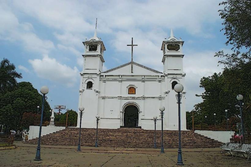
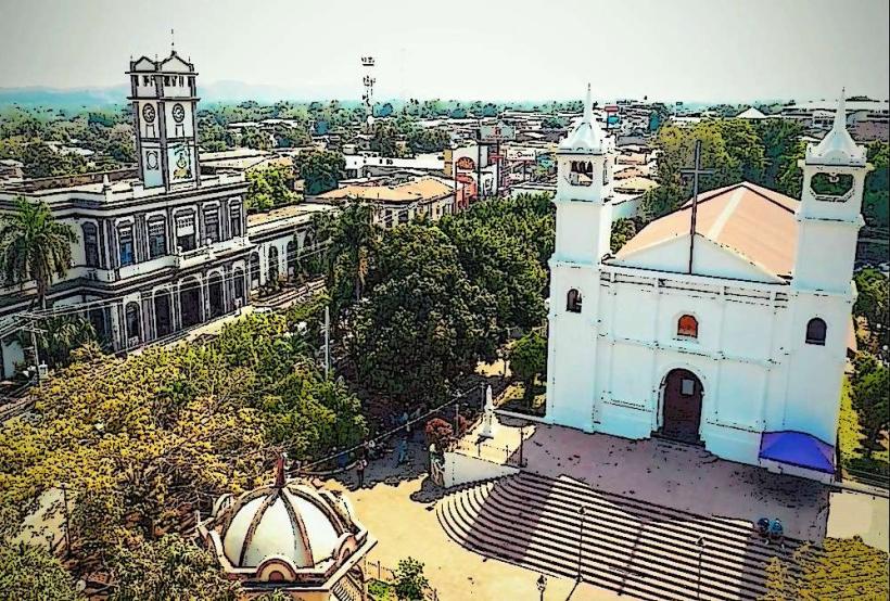
Centro Histórico: The traditional heart of the city featuring the Central Park and the Santa Catalina Church.
The Commercial Strip: Located along the CA-2 highway, this area has seen the most modernization, with international franchises and shopping centers.
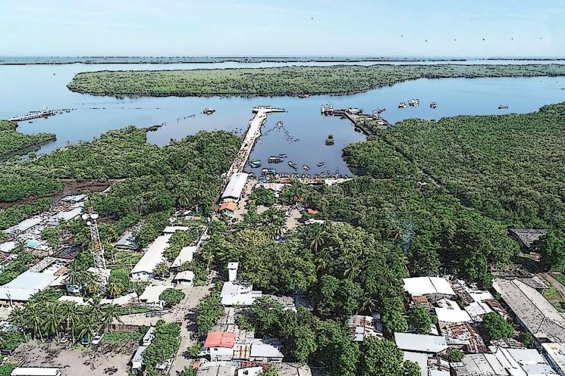
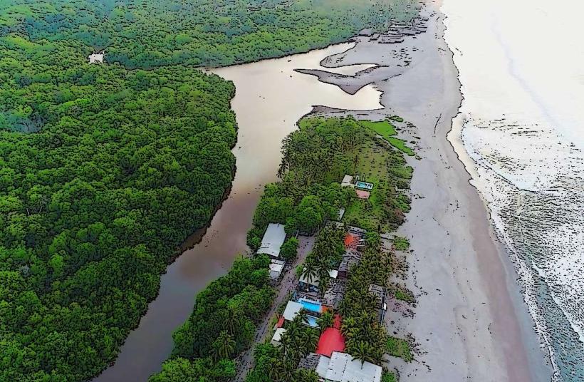
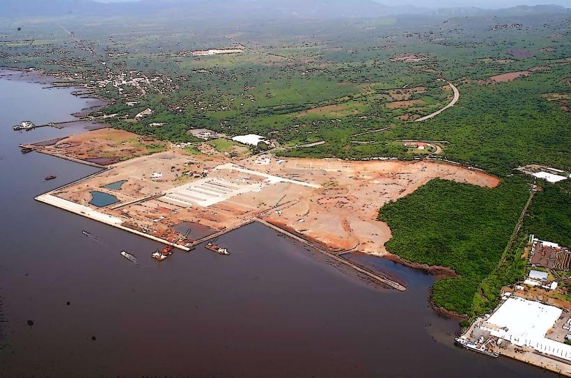
Puerto El Triunfo/Jiquilisco Bay: While 15-20 minutes away, these coastal districts are the primary economic and touristic extensions of the city.
Top City Landmarks
Santa Catalina Church: The city's primary spiritual landmark, located in the central plaza.
Central Park (Parque Raúl Francisco Munguía): A well-maintained social space that serves as the focal point for city festivals.
Jiquilisco Bay (Bahía de Jiquilisco): A UNESCO Biosphere Reserve and the largest estuary in El Salvador. It is a critical sanctuary for the Hawksbill sea turtle.
Puerto Barillas Marina: A luxury eco-tourism hub in the bay, known for its monkey sanctuary and cacao tours.
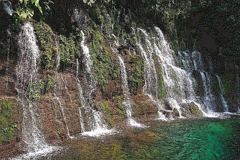
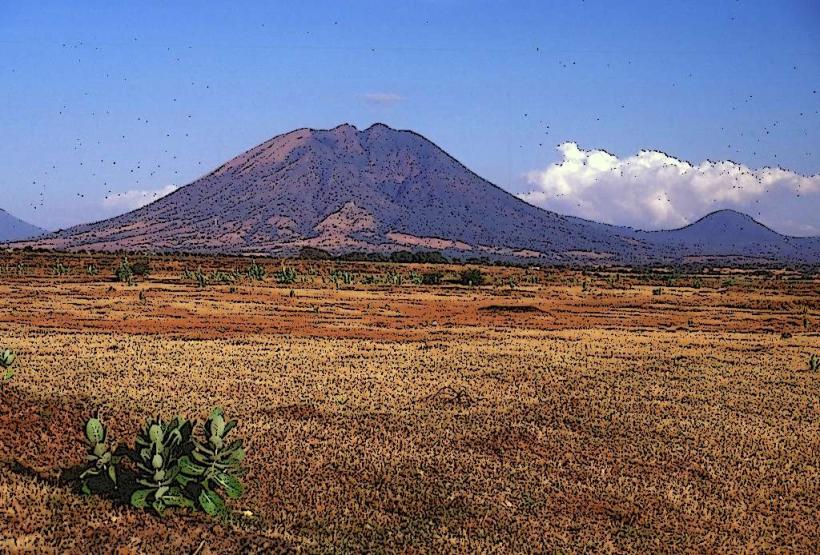
Alegría Lagoon: Located about 45 minutes north in the highlands; a stunning emerald-green volcanic crater lake often visited by those staying in Usulután.
Transportation Network
Usulután is the primary node on the Litoral Highway (CA-2).
Roads: Connects San Salvador (1.5 - 2 hours) to the west and San Miguel (1 hour) to the east.
Public Transit: Route 302 connects to San Salvador and Route 373 to San Miguel. Mototaxis (tuk-tuks) are the standard for movement within the city.
Uber: Available but less dense than in the capital.
Safety & Security
In 2026, Usulután is considered one of the safer major cities in El Salvador.
General Profile: Gang-related violence has been neutralized under current security measures.
Precautions: The extreme heat and humidity are significant factors; stay hydrated. Standard urban caution should be exercised in the busy market areas near the bus terminals.
Digital & Financial Infrastructure
Internet: Average speeds of 40-50 Mbps. High-speed fiber is available in the newer commercial districts.
Finances: US Dollars and Bitcoin are legal tender. The city has several major bank branches (Banco Agrícola, Davivienda) and Chivo (BTC) ATMs near the park.
Connectivity: Strong 4G/5G coverage from Tigo and Claro.
Climate & Air Quality
The climate is Tropical Savanna (Aw). It is one of the hottest and most humid cities in the country.
Temperature: Averages 33°C (91°F) during the day, rarely dropping below 23°C at night.
Air Quality: Generally high due to coastal breezes, though agricultural burning in the surrounding sugarcane fields can cause seasonal haze.
Culture & Social Norms
Patron Saint Festivals: Held in late November in honor of Saint Catherine of Alexandria.
Agriculture: The local culture is deeply tied to the land, specifically shrimp farming in the bay and sugarcane in the valleys.
Dining: Famous for "Camarones al Ajillo" (garlic shrimp) and coastal seafood soups, alongside the national staple of pupusas.
Local Cost Index (USD)
1 Espresso: $2.50
Full Seafood Lunch: $10.00
1 Mototaxi Trip: $1.50
Nearby Day Trips
El Cuco Beach: 1.5 hours east for surfing.
Alegría: 45 minutes north for cool mountain air and coffee plantations.
Isla Espíritu Santo: Accessible from Puerto El Triunfo, known for its coconut oil production.
Facts & Legends
A verified historical oddity: Usulután was one of the first regions in El Salvador to experience large-scale agrarian reform in the 20th century due to its vast, fertile land holdings. A local legend tells of "La Carreta Chillona" (The Screaming Oxcart), which is said to wander the rural sugarcane roads at night; the screeching sound of its wheels is believed to be the cries of souls who found no rest in the coastal heat.