Information
Landmark: La Pirraya WaterfallCity: Usulutan
Country: El Salvador
Continent: North America
La Pirraya Waterfall, Usulutan, El Salvador, North America
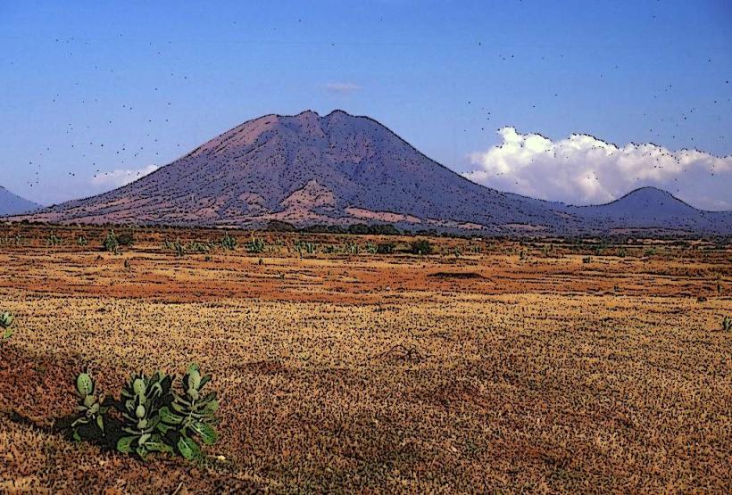
La Pirraya Waterfall is a natural cascade located in the municipality of Usulután, El Salvador. It is situated within a forested area approximately 15 kilometers northeast of the city center.
Visual Characteristics
The waterfall descends approximately 20 meters over a series of rock ledges. The water is clear, with a light brown tint due to sediment. The surrounding vegetation is dense, consisting of broadleaf trees and ferns. The rock face is primarily composed of volcanic basalt.
Location & Access Logistics
Access to La Pirraya Waterfall is via the CA-1 East highway, turning onto the unpaved road leading towards the community of La Pirraya. The final 3 kilometers of this road are rough and may require a 4x4 vehicle, especially during the rainy season. Parking is available at a small, informal lot near the trailhead. There are no direct public transport routes to the waterfall; visitors typically arrange private transport from Usulután.
Historical & Ecological Origin
The waterfall is a result of natural erosion of volcanic rock formations over millennia. The area is part of a tropical dry forest ecosystem, characterized by seasonal rainfall and a distinct dry period.
Key Highlights & Activities
Visitors can observe the waterfall from a designated viewing platform. Swimming is permitted in the pool at the base of the falls during dry periods. Hiking trails are present but are not formally maintained.
Infrastructure & Amenities
Basic amenities are limited. There are no permanent restroom facilities. Shade is provided by the surrounding tree canopy. Cell phone signal is intermittent and unreliable. No food vendors are present at the site; visitors should bring their own provisions.
Best Time to Visit
The waterfall has the highest water flow from May to October, coinciding with the rainy season. For clearer water and easier access, the dry season (November to April) is preferable. The best time of day for photography is mid-morning, between 9:00 AM and 11:00 AM, when sunlight penetrates the canopy.
Facts & Legends
Local folklore suggests that the waterfall's waters possess healing properties. A specific tip for visitors is to wear sturdy footwear due to the uneven terrain and potential for slippery surfaces, particularly after rainfall.
Nearby Landmarks
- Laguna de Alegría (12km Southwest)
- Cerro El Pacún (8km East)
- Ruinas de Cihuatán (25km Northwest)