Information
Landmark: La Union PortCity: Usulutan
Country: El Salvador
Continent: North America
La Union Port, Usulutan, El Salvador, North America
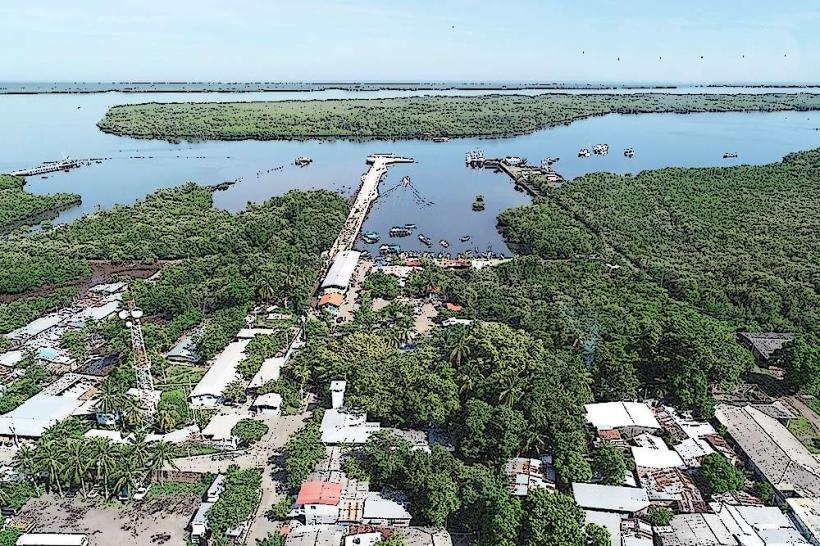
La Union Port is a maritime facility situated in the city of Usulutan, El Salvador. It serves as a key commercial and logistical hub for the region.
Visual Characteristics
The port infrastructure consists of concrete piers and loading docks. Warehousing facilities are constructed from corrugated metal and concrete. The water depth in the main channel is maintained at 12 meters. The surrounding landscape is predominantly flat, with some low-lying coastal vegetation.
Location & Access Logistics
La Union Port is located approximately 15 kilometers south of Usulutan city center. Access is via Carretera Litoral (CA-2) eastbound. Turn south onto the signed road leading to Puerto La Union. Ample parking is available within designated port areas for trucks and authorized vehicles. Public transport options directly to the port are limited; bus routes typically terminate in Usulutan city, requiring a local taxi or pre-arranged transport for the final leg.
Historical & Ecological Origin
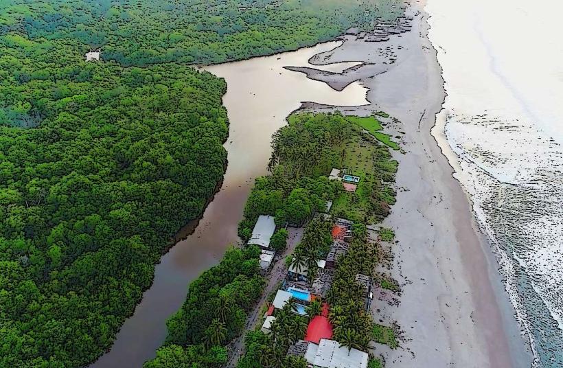
Construction of the modern port facilities began in the early 2000s, with significant expansion and modernization efforts completed in 2012. Its purpose is to facilitate international trade, cargo handling, and passenger ferry services. The site is situated on a coastal plain, historically a mangrove ecosystem that has been significantly altered for industrial development.
Key Highlights & Activities
Observation of cargo loading and unloading operations. Ferry departures to Isla Meanguera and other islands in the Gulf of Fonseca. Commercial fishing vessel activity can be observed from designated public viewing areas. Access to the port's operational areas is restricted to authorized personnel.
Infrastructure & Amenities
Restrooms are available in the passenger terminal building. Limited shaded areas are present near the ferry terminal. Cell phone signal (4G) is generally available within the port vicinity. Food vendors are located outside the main port entrance, primarily serving the ferry terminal users.
Best Time to Visit
For observing port operations, weekdays during daylight hours (08:00 to 17:00) offer the most activity. Ferry schedules are subject to weather conditions and passenger demand. The dry season, from November to April, generally provides calmer sea conditions for ferry travel.
Facts & Legends
The port was designed to handle containerized cargo and bulk goods, significantly increasing El Salvador's import and export capacity. A specific tip for visitors using the ferry is to arrive at least 30 minutes prior to departure, as boarding procedures can vary.
Nearby Landmarks
- Ferry Terminal to Isla Meanguera (0.1km North)
- Usulutan City Center (15km North)
- Playa El Espino (8km West)
- Bahia de Jiquilisco (12km Southwest)