Information
Landmark: El Amatal BeachCity: Usulutan
Country: El Salvador
Continent: North America
El Amatal Beach, Usulutan, El Salvador, North America
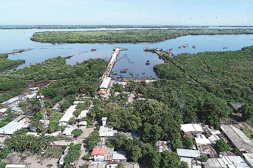
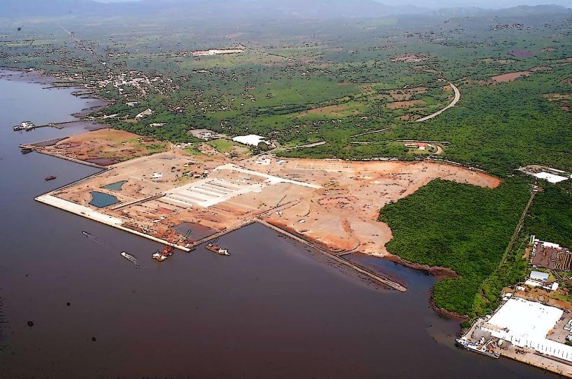
El Amatal Beach is a coastal area located in the Usulután department of El Salvador.
This location is characterized by its dark volcanic sand and consistent wave patterns.
Visual Characteristics
The beach features dark, fine-grained volcanic sand. The water color is typically a deep blue to grey, depending on weather conditions. The shoreline is approximately 2 kilometers long and relatively flat. Vegetation behind the beach consists of low-lying coastal shrubs and scattered palm trees.
Location & Access Logistics
El Amatal Beach is situated approximately 15 kilometers south of the city of Usulután. Access is via Highway CA-2, turning south onto the unpaved road marked for El Amatal. The final 3 kilometers of this road are rough and may require a 4x4 vehicle, especially during the rainy season. Limited informal parking is available near the beach entrance. Public transport options are scarce; local buses may reach the nearest town, requiring a subsequent taxi or motorcycle taxi to the beach.
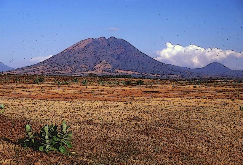
Historical & Ecological Origin
The beach is a product of volcanic activity from the nearby Tecapa-Chinameca volcanic range, with the dark sand being eroded volcanic material. Ecologically, it is part of the Central American Pacific coastal plain, supporting a marine ecosystem influenced by Pacific currents.
Key Highlights & Activities
Surfing is a primary activity due to consistent swells. Swimming is possible but requires caution due to strong currents. Beachcombing for shells and volcanic glass fragments is common. Local fishermen operate from the shore.
Infrastructure & Amenities
Basic amenities are limited. A few small, locally operated food stalls (comedores) are present, offering seafood and beverages. Restrooms are rudimentary and may not always be functional. Shade is provided by natural vegetation and temporary awnings at food stalls. Cell phone signal (2G/3G) is generally available but can be intermittent.
Best Time to Visit
For surfing, the dry season (November to April) offers the most consistent waves. The best time of day for photography is typically late afternoon, approximately 1-2 hours before sunset, for softer light. High tide can increase wave size for experienced surfers.
Facts & Legends
Local folklore suggests that the dark sand holds protective properties, and some residents collect it for small talismans. The beach is known for its strong undertow, making it unsuitable for novice swimmers.
Nearby Landmarks
- Playa Las Tunas (1.5km Southwest)
- Laguna El Jocotal (8km Northeast)
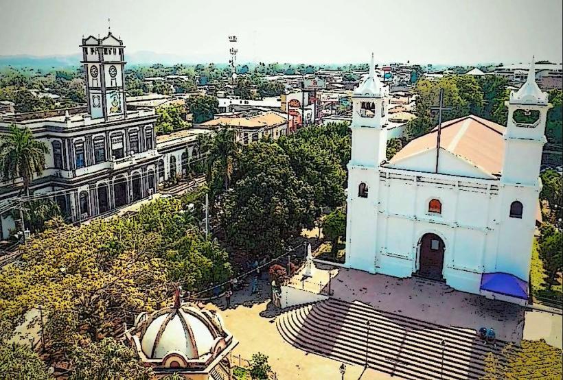
- Usulután City Center (15km North)
- Parque Nacional El Imposible (approx. 40km West)