Information
Landmark: Chirilagua VolcanoCity: Usulutan
Country: El Salvador
Continent: North America
Chirilagua Volcano, Usulutan, El Salvador, North America
Chirilagua Volcano is a stratovolcano located in the Usulután department of El Salvador. It is part of the Central American Volcanic Arc.
Visual Characteristics
The volcano exhibits a conical shape with a well-defined summit crater. Its slopes are covered in dense vegetation, primarily tropical forest. The elevation reaches approximately 1,438 meters (4,718 feet) above sea level. Volcanic rock formations are visible in certain exposed areas.
Location & Access Logistics
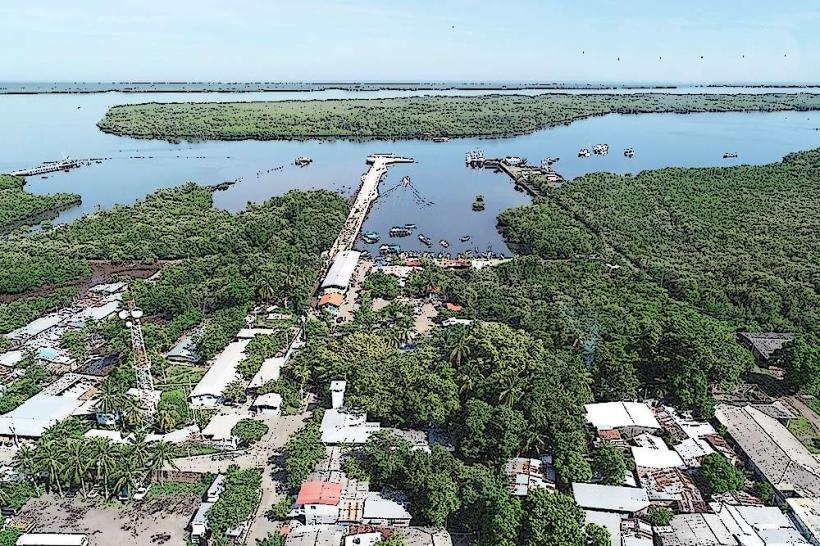
Chirilagua Volcano is situated approximately 15 kilometers (9.3 miles) north of the city of Usulután. Access is primarily via Carretera Litoral (CA-2) eastbound from Usulután, then turning north onto local roads leading towards the town of Chirilagua. From Chirilagua, unpaved roads lead to the base of the volcano. Parking is available at designated points near trailheads, though it is informal. Public transport options are limited to buses traveling between Usulután and Chirilagua; further access requires local taxis or private vehicles.
Historical & Ecological Origin
Chirilagua Volcano is a stratovolcano formed by the subduction of the Cocos Plate beneath the Caribbean Plate. Its geological origin dates back to the Quaternary period. The volcano is considered dormant, with its last significant eruption occurring an estimated 10,000 years ago. The surrounding ecosystem is characterized by montane tropical forest, supporting diverse flora and fauna.
Key Highlights & Activities
Hiking to the summit crater is the primary activity. Trails vary in difficulty, with some sections requiring moderate physical exertion. Observation points offer views of the surrounding landscape and Pacific coast. Birdwatching is possible due to the diverse avian population within the forest.
Infrastructure & Amenities
Basic infrastructure is minimal. Restrooms are not consistently available at trailheads. Natural shade is provided by the forest canopy. Cell phone signal (4G/5G) is unreliable, particularly at higher elevations. Food vendors are typically found in the town of Chirilagua, not at the volcano's base.
Best Time to Visit
The best time for hiking is during the dry season, from November to April, to avoid heavy rainfall and muddy trails. The early morning hours (6:00 AM - 9:00 AM) offer cooler temperatures and clearer lighting for photography. No tide considerations are applicable.
Facts & Legends
Local folklore suggests that the volcano was once inhabited by ancient spirits who protected the land. A specific geological feature of interest is a small, permanent fumarole located on the western flank, indicating residual geothermal activity.
Nearby Landmarks
- Laguna de Olomega (10km Southwest)
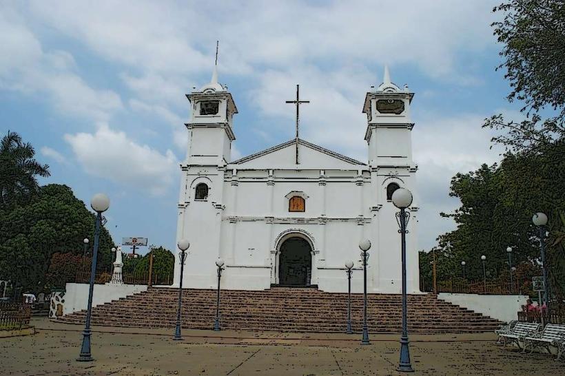
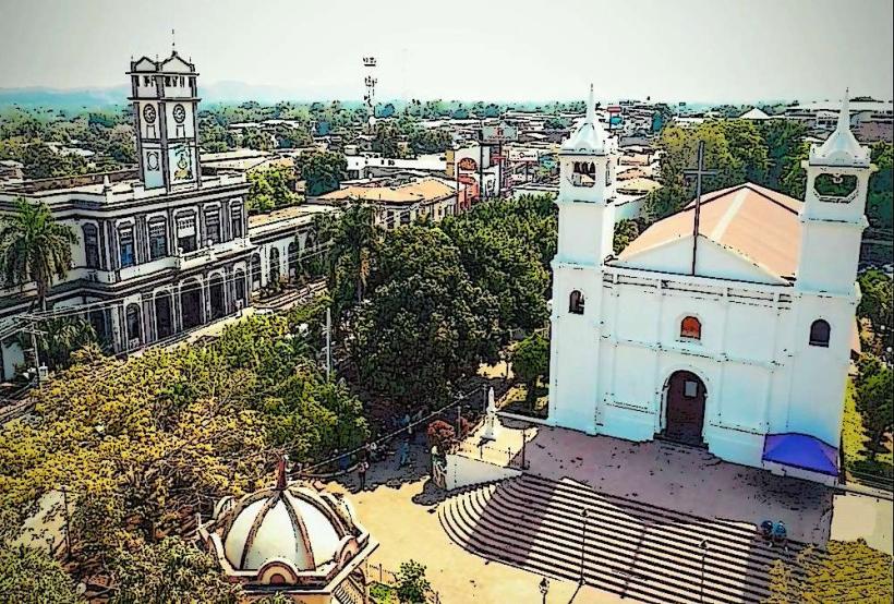
- Usulután Cathedral (15km Southwest)
- Parque Nacional El Imposible (approx. 60km West)
- Cerro Verde National Park (approx. 70km Northwest)
- Santa Ana Volcano (approx. 75km Northwest)